Summary
The ideal streamflow range for this 10-mile segment is between 300-600 cfs, with higher flows presenting significant danger. The Class IV rapids begin at the Wilderness boundary and continue for about 3 miles until the Class V rapid, "Gorilla". The remaining 7 miles are mostly Class III with a few Class IV rapids.
Specific river obstacles include the "Toilet Bowl" and "Sunshine" rapids, both Class IV, and the aforementioned "Gorilla" rapid, a Class V drop that requires precise navigation. Paddlers should also be aware of the large boulders and narrow channels throughout the run.
Regulations for the area include obtaining a permit from the US Forest Service and adhering to Leave No Trace principles. Due to the difficult nature of the run, paddlers should also have appropriate safety gear and experience. It is recommended that paddlers scout rapids before attempting them and paddle with a group. Multiple sources, including American Whitewater and the US Forest Service, confirm these details.
°F
°F
mph
Wind
%
Humidity
15-Day Weather Outlook
River Run Details
| Last Updated | 2026-02-07 |
| River Levels | 130 cfs (1.52 ft) |
| Percent of Normal | 30% |
| Status | |
| Class Level | iv-v |
| Elevation | ft |
| Streamflow Discharge | cfs |
| Gauge Height | ft |
| Reporting Streamgage | USGS 02138500 |
5-Day Hourly Forecast Detail
Nearby Streamflow Levels
 Linville River Near Nebo
|
113cfs |
 Johns River At Arneys Store
|
242cfs |
 Catawba R Nr Pleasant Gardens
|
132cfs |
 South Toe River Near Celo
|
81cfs |
 Yadkin River At Patterson
|
34cfs |
 Jacob Fork At Ramsey
|
28cfs |


 Paddy Creek Campground
 Lake James State Park
 Horseshoe Bend Family Campground
 Steele Creek Park & Family Campground
 Daniel Boone Family Campground
 Linville Falls
 Linville Boat Ramp
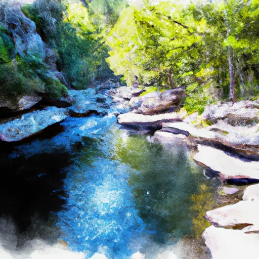 Linville Gorge Wilderness Boundary To Southern End Of Wilderness
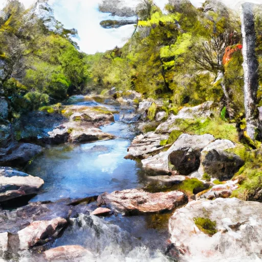 Linville Wilderness Boundary To Lake James
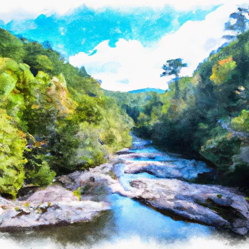 Blue Ridge Parkway Boundary To Linville Gorge Boundary
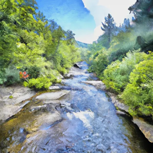 Headwaters Above Linville Gap To Blue Ridge Parkway Boundary