Summary
The ideal streamflow range for this river is between 150 and 400 cfs. It is rated as a class III-IV river, which means that it is suitable for intermediate to advanced paddlers. The segment mileage of this river run is approximately 23 miles, starting from the headwaters and ending at the confluence with the East Fork and Yellowstone Prong.
There are many notable rapids and obstacles on this river run, such as the Narrows, which is a steep and technical section of the river that includes a series of drops and tight turns. Other rapids to be aware of include Corkscrew, The Chute, and Pinball. Paddlers should also be prepared for the river's numerous boulder gardens and strainers.
To ensure a safe and enjoyable experience, there are specific regulations that must be followed when paddling on this river. For example, all paddlers must wear a personal flotation device at all times while on the river. Additionally, there are restrictions on the use of motorized boats on this section of the river, and camping is only allowed in designated areas.
Overall, the Yellowstone Prong River offers a challenging and exciting whitewater river run for experienced paddlers. Paddlers should be prepared for the river's difficult rapids and obstacles, as well as the specific regulations that must be followed to ensure a safe and enjoyable experience.
°F
°F
mph
Wind
%
Humidity
15-Day Weather Outlook
River Run Details
| Last Updated | 2026-02-07 |
| River Levels | 36 cfs (1.2 ft) |
| Percent of Normal | 36% |
| Status | |
| Class Level | iii-iv |
| Elevation | ft |
| Streamflow Discharge | cfs |
| Gauge Height | ft |
| Reporting Streamgage | USGS 03455500 |
5-Day Hourly Forecast Detail
Nearby Streamflow Levels
Area Campgrounds
| Location | Reservations | Toilets |
|---|---|---|
 Deep Gap Shelter
|
||
 CH-2
CH-2
|
||
 Cove Creek Group Campground
|
||
 CH-1
CH-1
|
||
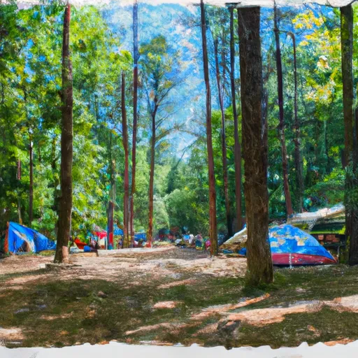 Camp Daniel Boone, BSA
|
||
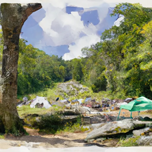 Butter Gap Shelter
|


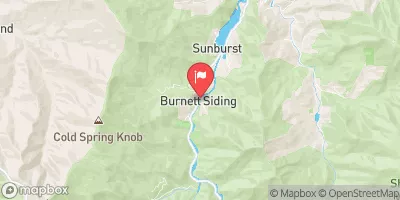
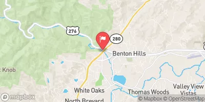
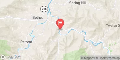
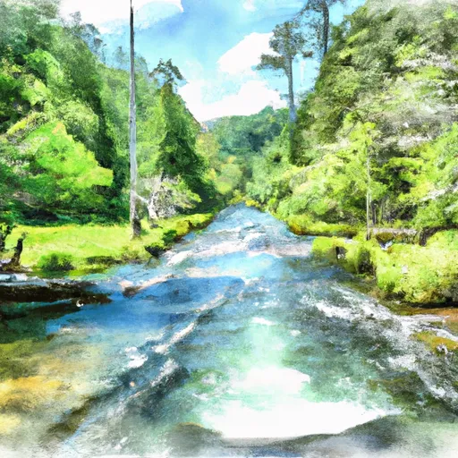 Yellowstone Prong From Headwaters To Confluence With East Fork And Yellowstone Prong
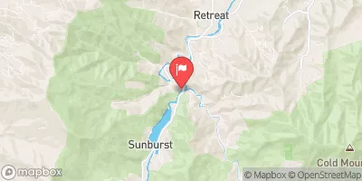
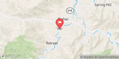
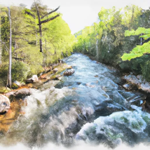 Dark Prong From Headwaters To Confluence East Fork And Yellowstone Prong
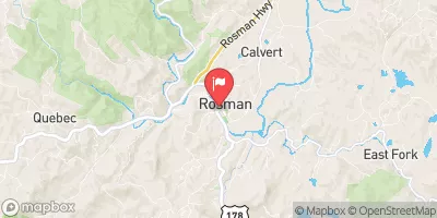
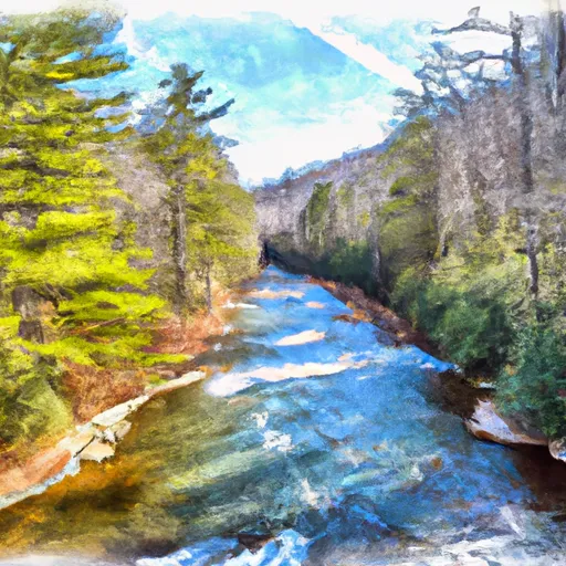 East Fork From Us Highway 276 To Confluence Of Dark Prong And Yellowstone Prong