Summary
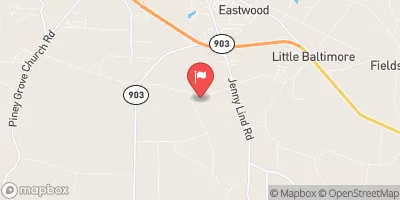
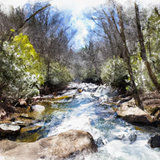
The ideal streamflow range for the run is between 200 and 500 cubic feet per second (cfs), providing a good balance of fast-moving water without becoming too dangerous. The run has been rated as a Class II-III segment, meaning that the rapids are moderate in difficulty and require some maneuvering to navigate. The total length of the segment is 1.25 miles, running upstream from the Hwy 17 bridge to Black Swamp Creek.
Some of the specific rapids and obstacles on the Whitewater River Run include "The Wedge," "The S-Turn," and "Big Rock." These rapids require careful navigation and offer a thrill for experienced paddlers. It's important to note that the river can be dangerous during times of high flow, and caution should always be taken when paddling.
Specific regulations for the area include a requirement for personal flotation devices (PFDs) for all paddlers and a limit of no more than four boats on the river at one time. Parking is also restricted to designated areas only. It's important to review all regulations before heading out on the Whitewater River Run to ensure a safe and enjoyable experience.
°F
°F
mph
Wind
%
Humidity
15-Day Weather Outlook
River Run Details
| Last Updated | 2026-02-07 |
| River Levels | 13 cfs (2.33 ft) |
| Percent of Normal | 48% |
| Status | |
| Class Level | ii-iii |
| Elevation | ft |
| Streamflow Discharge | cfs |
| Gauge Height | ft |
| Reporting Streamgage | USGS 02093000 |
5-Day Hourly Forecast Detail
Nearby Streamflow Levels
 New River Near Gum Branch
|
54cfs |
 Trent River Near Trenton
|
80cfs |
 Neuse River Near Fort Barnwell
|
1890cfs |
 Neuse River At Kinston
|
1130cfs |
 Northeast Cape Fear River Near Chinquapin
|
493cfs |
 Bear Creek At Mays Store
|
98cfs |


 1.25 Miles Upstream From Hwy 17 Bridge To Black Swamp Creek
 Headwaters To 1.24 River Miles Upstream From Us Hwy 17 Bridge
 Black Swamp Creek To Nc Hwy 1442 Bridge At Stella
 West Prong From Sr 1100 To Fs Road 121-2
 Wilderness Catfish Lake South
 Hofmann State Forest
 Wilderness Pond Pine
 White Oak River Game Land
 Wilderness Sheep Ridge