Summary
The ideal streamflow range for this section of river is between 150-400 cfs, which provides a challenging but manageable experience for intermediate to advanced paddlers. The class rating for this section of river is class III-IV, with several technical rapids and obstacles, including "Pinball," "Entrance Exam," and "Hell Hole."
The segment mileage for this run is approximately 4.5 miles, starting at SR 1100 and ending at FS Road 121-2. It is important to note that this section of river is on National Forest land and requires a permit from the U.S. Forest Service to access. Additionally, there are specific regulations in place to protect the natural resources of the area, including restrictions on camping and fires.
Sources such as American Whitewater and the U.S. Forest Service provide detailed information on the West Prong of the Whitewater River, including flow data, rapid descriptions, and permit requirements. Overall, this run offers a challenging and scenic experience for experienced paddlers, but it is important to adhere to regulations and practice Leave No Trace principles to protect the environment.
°F
°F
mph
Wind
%
Humidity
15-Day Weather Outlook
River Run Details
| Last Updated | 2026-02-07 |
| River Levels | 14 cfs (2.48 ft) |
| Percent of Normal | 54% |
| Status | |
| Class Level | iii-iv |
| Elevation | ft |
| Streamflow Discharge | cfs |
| Gauge Height | ft |
| Reporting Streamgage | USGS 02092500 |
5-Day Hourly Forecast Detail
Nearby Streamflow Levels
 Trent River Near Trenton
|
80cfs |
 Neuse River Near Fort Barnwell
|
1890cfs |
 New River Near Gum Branch
|
54cfs |
 Neuse River At Kinston
|
1130cfs |
 Chicod Cr At Sr1760 Near Simpson
|
2cfs |
 Contentnea Creek At Hookerton
|
282cfs |
River Runs
-
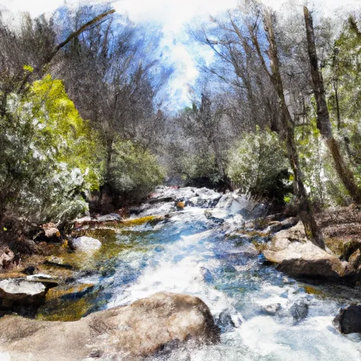 West Prong From Sr 1100 To Fs Road 121-2
-
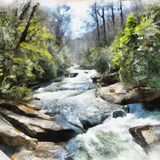 East Prong From Sr 1100 To Confluence With Brice Creek
-
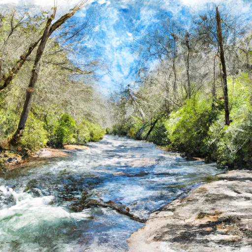 Fs Road 121-2 To Confluence With Brice Creek
-
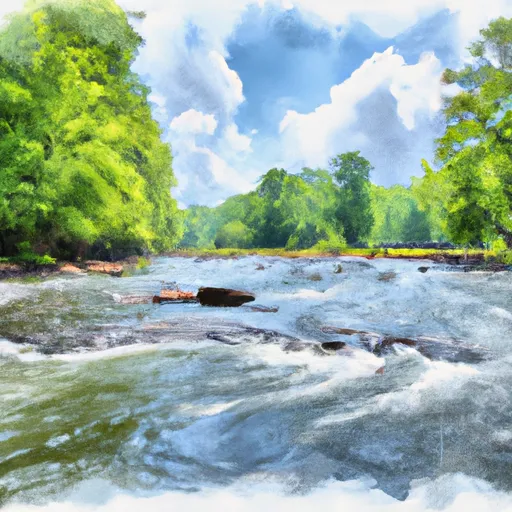 Nf Boundary To Confluence With Trent River
-
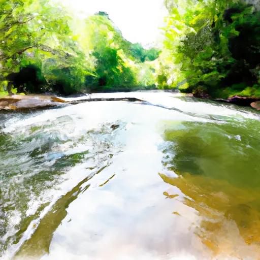 Brice Creek From Confluence With East/West Prongs To Nf Boundary Past Brice Creek Boat Ramp
-
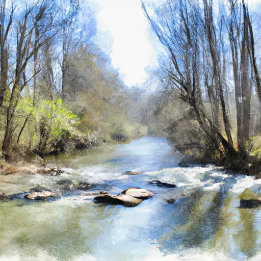 1.25 Miles Upstream From Hwy 17 Bridge To Black Swamp Creek


 Wilderness Catfish Lake South
 Neuse River Game Land
 Wilderness Pond Pine
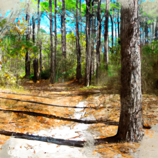 Croatan National Forest