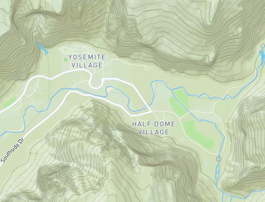
Summary
Regional Streamflow Levels
15-Day Long Term Forecast
River Run Details
| Last Updated | 2026-05-09 |
| River Levels | 82 cfs (5.27 ft) |
| Percent of Normal | 67% |
| Status | |
| Class Level | None |
| Elevation | ft |
| Streamflow Discharge | cfs |
| Gauge Height | ft |
| Reporting Streamgage | USGS 14313700 |
5-Day Hourly Forecast Detail
Area Campgrounds
| Location | Reservations | Toilets |
|---|---|---|
 Sacandaga Campground
|
||
 Campers Flat
|
||
 Campers Flat Campground
|
||
 Indigo Springs Campground
|
||
 Secret
|
||
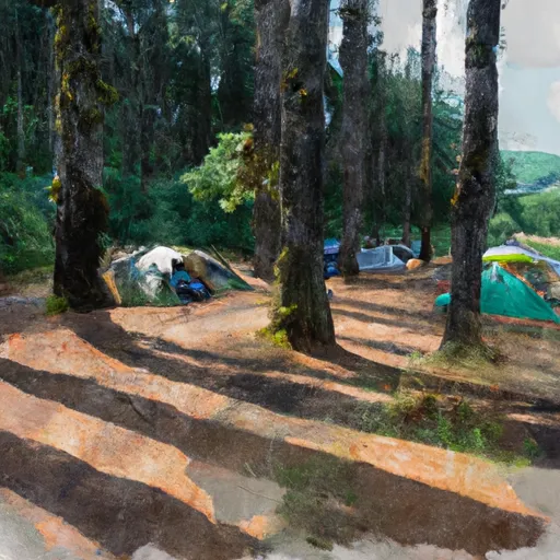 Secret Campground
|
River Runs
-
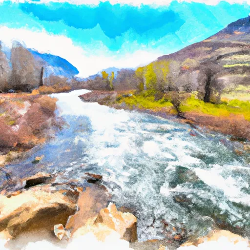 Lower Timpanogas Lake To Confluence With Echo Creek
-
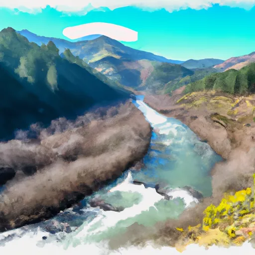 Confluence With Echo Creek To Hills Creek Reservoir
-
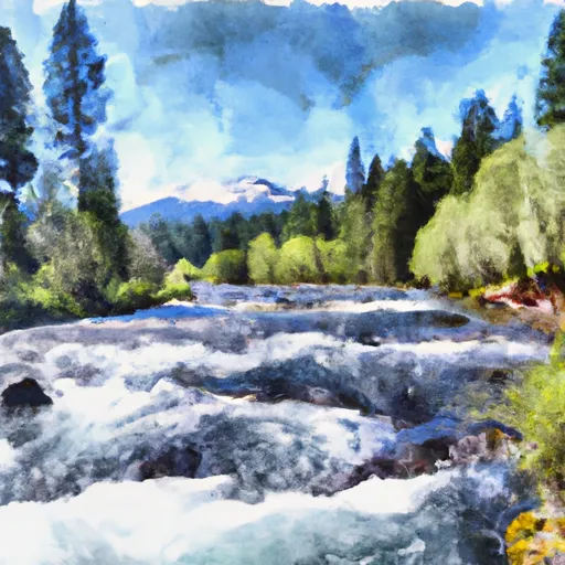 Lemolo Lake To Oregon Cacades Recreation Area Boundary
-
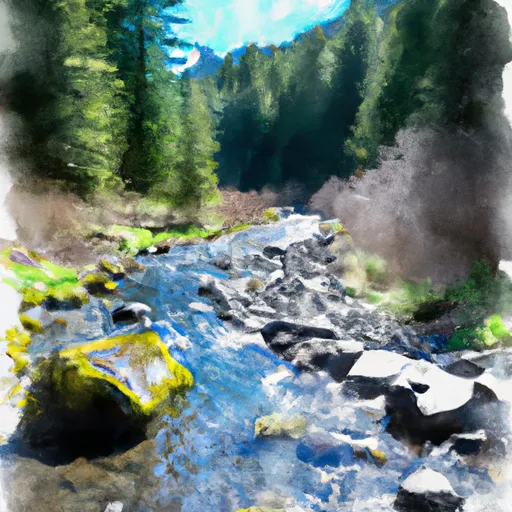 Headwaters To Boulder Creek Wilderness Boundary
-
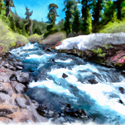 Oregon Cascades Recreation Area Boundary To Mt. Thielsen Wilderness Boundary
-
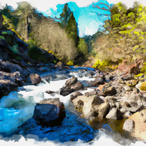 Headwaters Of East Fork Steamboat Creek To Confluence With Siwash Creek

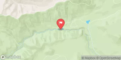
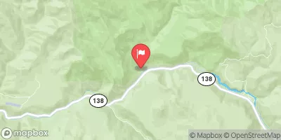

 Bingham Boat Ramp
 Wilderness Diamond Peak
 Wilderness Boulder Creek
 Andrew Wiley Park
 Greenwater Rest & Recreation Area
 Salmon Creek Park
 Toketee Lake
 Wickiup Reservoir
 Crane Prairie Reservoir
 Continue with Snoflo Premium