Summary
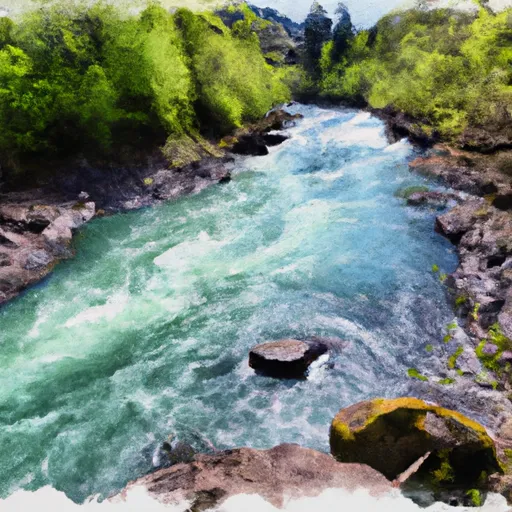
The ideal streamflow range for this section of the river is between 800 and 2,000 cfs. The class rating of the Whitewater River run is Class IV, which means that it contains complex rapids, powerful waves, and strong currents that require advanced paddling skills and experience.
The segment mileage for this section of the Whitewater River run is approximately 7 miles, and it features several specific river rapids and obstacles, including Big Brother, Little Brother, and Pinball. These rapids are characterized by steep drops, large waves, and technical maneuvers that require precise navigation.
There are specific regulations to the area that visitors must adhere to, including obtaining a permit from the Bureau of Land Management, carrying proper safety equipment, and adhering to Leave No Trace principles. Visitors are also advised to check the current streamflow conditions before embarking on the Whitewater River run, as water levels can fluctuate rapidly and significantly.
In conclusion, the Whitewater River run from Headwaters to North Section Line of Sec 17, T4S, R5E is a thrilling and challenging adventure for experienced whitewater enthusiasts. With its Class IV rating, specific river rapids and obstacles, and specific regulations, this section of the Whitewater River offers a unique and unforgettable experience for those who are up for the challenge.
°F
°F
mph
Wind
%
Humidity
15-Day Weather Outlook
River Run Details
| Last Updated | 2026-02-07 |
| River Levels | 0 cfs (1.75 ft) |
| Percent of Normal | 41% |
| Status | |
| Class Level | iv-iv |
| Elevation | ft |
| Streamflow Discharge | cfs |
| Gauge Height | ft |
| Reporting Streamgage | USGS 14199704 |
5-Day Hourly Forecast Detail
Nearby Streamflow Levels
 Clackamas River At Estacada
|
2190cfs |
 Nate Creek Tributary Near Colton
|
1cfs |
 Clackamas River Above Three Lynx Creek
|
1720cfs |
 Sandy River Near Marmot
|
1040cfs |
 Little Sandy River Near Bull Run
|
117cfs |
 Oak Grove Fork At Ripplebrook Campground
|
102cfs |
Area Campgrounds
| Location | Reservations | Toilets |
|---|---|---|
 Promontory Park Campground
|
||
 Promontory Park
|
||
 Lazy Bend
|
||
 Lazy Bend Campground
|
||
 Carter Bridge Campground
|
||
 Carter Bridge Campgound
|


 Promontory Park
 Headwaters To North Section Line Of Sec 17, T4S, R5E
 North Section Line Of Sec 17, T4S, R5E To Slackwater North Fork Reservoir
 Clackamas River
 North Fork Clackamas River
 Eagle Fern Park
 Milo McIver State Park
 Timber Park
 Bonnie Lure State Recreation Area
 Meinig Memorial Park