Confluence With Sampson Creek To Downstream Crossing Of Western Siuslaw Nf Boundary Paddle Report
Last Updated: 2026-02-07
The Whitewater River run Confluence With Sampson Creek To Downstream Crossing Of Western Siuslaw Nf Boundary, located in Oregon, has an ideal streamflow range of 600-1200 cubic feet per second (cfs).
Summary
This class III-IV rated run covers a distance of 7 miles and has specific rapids and obstacles, such as Rapids 1-4, which include boulder gardens, steep drops, and technical chutes. There are also several logjams throughout the river, which can create hazards for paddlers.
In terms of regulations, the Whitewater River run is located within the Siuslaw National Forest, and visitors must obtain a Northwest Forest Pass or pay a daily fee to use the area. Camping is not allowed along the river banks, and visitors must pack out all trash. Additionally, the use of alcohol and drugs is prohibited on the river.
Overall, the Whitewater River run Confluence With Sampson Creek To Downstream Crossing Of Western Siuslaw Nf Boundary is a challenging and exciting whitewater experience for experienced paddlers. It is important to always check the streamflow conditions and regulations before embarking on this adventure.
°F
°F
mph
Wind
%
Humidity
15-Day Weather Outlook
River Run Details
| Last Updated | 2026-02-07 |
| River Levels | 182 cfs (2.67 ft) |
| Percent of Normal | 33% |
| Status | |
| Class Level | iii-iv |
| Elevation | ft |
| Streamflow Discharge | cfs |
| Gauge Height | ft |
| Reporting Streamgage | USGS 14305500 |
5-Day Hourly Forecast Detail
Nearby Streamflow Levels
 Siletz River At Siletz
|
1130cfs |
 Nestucca River Near Beaver
|
963cfs |
 Tucca Creek Near Blaine
|
15cfs |
 Alsea River Near Tidewater
|
864cfs |
 Luckiamute River Near Suver
|
679cfs |
 Trask River Above Cedar Creek
|
790cfs |
Area Campgrounds
| Location | Reservations | Toilets |
|---|---|---|
 Chinook Bend RV Resort
|
||
 Devils Lake State Park
|
||
 Beverly Beach State Park
|


 Ichwhit Park
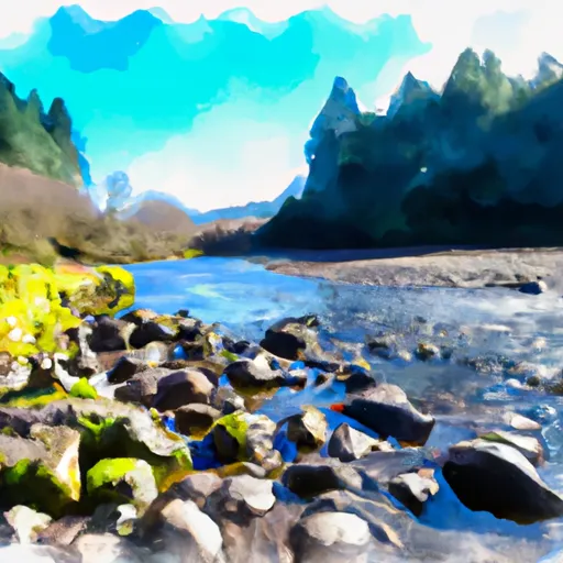 Confluence With Sampson Creek To Downstream Crossing Of Western Siuslaw Nf Boundary
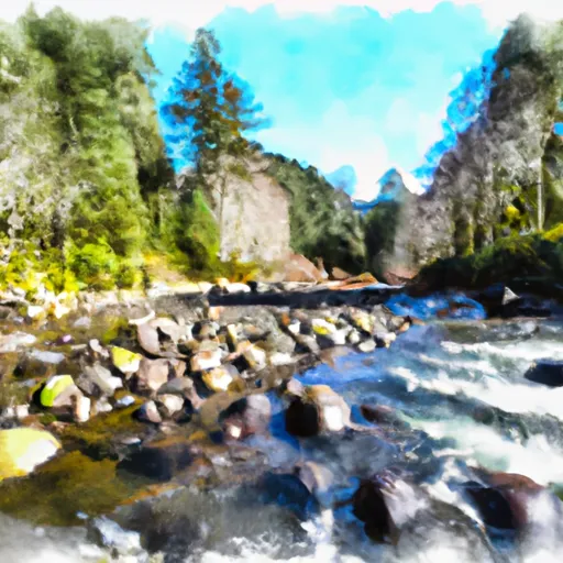 Upstream Crossing Of Eastern Siuslaw Nf Boundary To Confluence With Sampson Creek
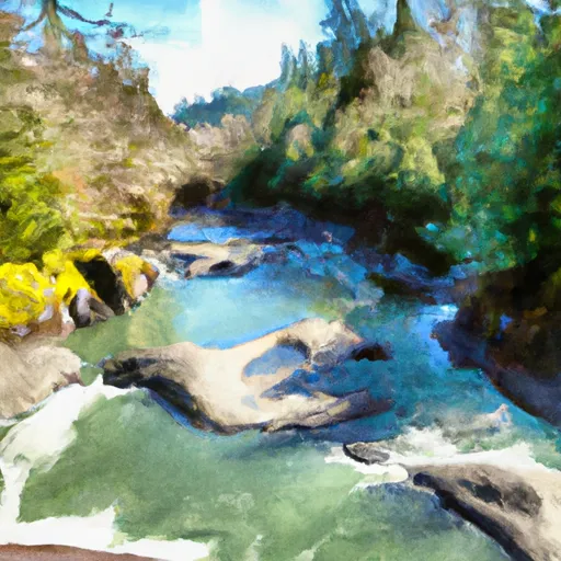 North Fork Siletz River
 Gleneden Beach State Recreation Site
 Devil's Lake State Recreation Area
 Fishing Rock State Recreation Site
 D River State Recreation Site
 Regatta Grounds Park