Summary
The ideal streamflow range for this run is between 800-4000 cfs, with the best conditions occurring during the spring season. This run is classified as a Class III-IV, with challenging rapids and obstacles throughout the 8-mile segment.
Some of the notable rapids on this run include Pinball, Boulder Drop, and S-Turn. These rapids are characterized by large waves, holes, and steep drops, providing an exciting challenge for experienced whitewater paddlers. Obstacles such as logs and strainers can also be found on this run, so paddlers should exercise caution.
In terms of regulations, this run is located within the Willamette National Forest and is subject to specific rules. Paddlers are required to obtain a permit before embarking on this run, and must follow all Leave No Trace principles to protect the environment. Additionally, motorized vehicles are prohibited in the area, and campfires are only allowed in designated areas.
Overall, the Sevenmile Creek to Willamette National Forest Boundary run offers an exciting and challenging whitewater experience for experienced paddlers. With proper preparation and adherence to regulations, paddlers can safely enjoy the beautiful scenery and thrilling rapids of this run.
°F
°F
mph
Wind
%
Humidity
15-Day Weather Outlook
River Run Details
| Last Updated | 2026-02-07 |
| River Levels | 170 cfs (2.74 ft) |
| Percent of Normal | 21% |
| Status | |
| Class Level | iii-iv |
| Elevation | ft |
| Streamflow Discharge | cfs |
| Gauge Height | ft |
| Reporting Streamgage | USGS 14185000 |
5-Day Hourly Forecast Detail
Nearby Streamflow Levels
 South Santiam River Below Cascadia
|
413cfs |
 Wiley Creek Near Foster
|
127cfs |
 Quartzville Creek Near Cascadia
|
422cfs |
 South Santiam River Near Foster
|
1050cfs |
 Schafer Creek Near Lacomb
|
2cfs |
 Lookout Creek Near Blue River
|
64cfs |
Area Campgrounds
| Location | Reservations | Toilets |
|---|---|---|
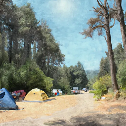 Cascadia State Park
|
||
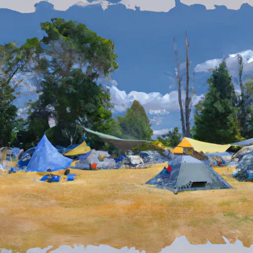 Longbow Organization Camp
|
||
 Boat In Camping
|
||
 Yukwah Campground
|
||
 Yukwah
|
||
 River Bend County Park
|


 Whitcomb Creek
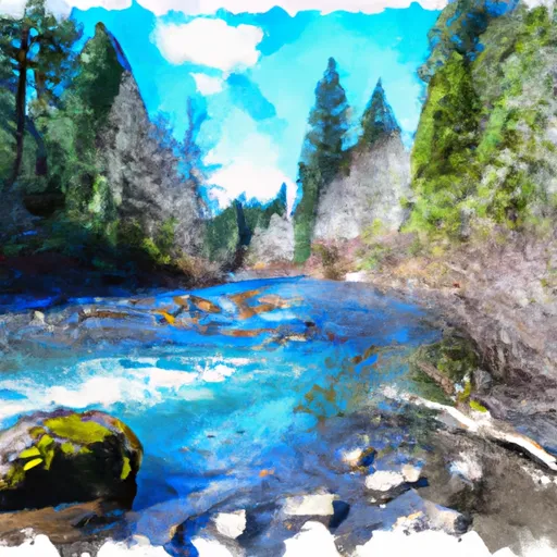 Sevenmile Creek To Willamette Nf Boundary
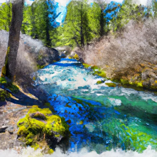 Headwaters Of Sevenmile Creek To Confluence With Latiwi Creek
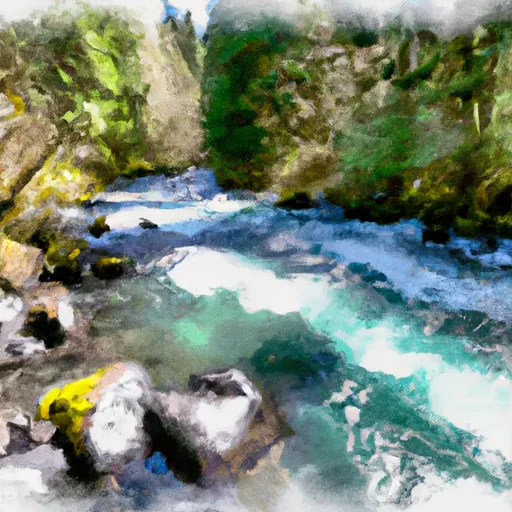 Middle Santiam Wilderness Boundary To Willamette Nf Boundary
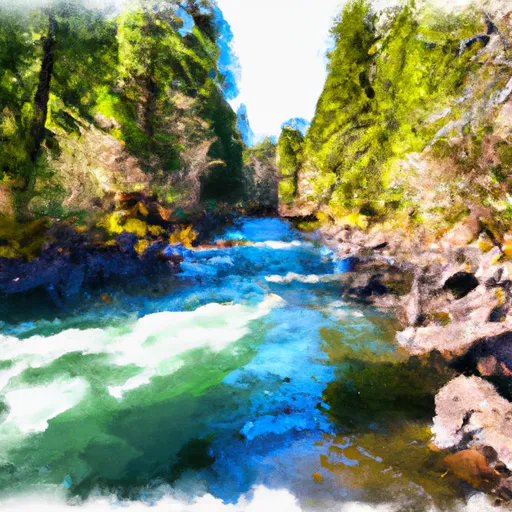 Middle Santiam River
 Wilderness Menagerie
 Whitcomb Creek Park
 Lewis Creek Park
 McDowell Creek County Park