2026-02-19T10:00:00-08:00
* WHAT...For the Winter Weather Advisory below 1500 ft, wet snow expected. Additional snow accumulations of 1 to 3 inches. For the Winter Storm Warning above 1500 ft, heavy snow expected. Additional snow accumulations 3 to 6 inches for the passes north of I-5, and the Illinois Valley except up to 10 inches for the southern portions of the Illinois Valley. 1 to 2 ft in the Kalmiopsis Wilderness region. * WHERE...For the Winter Weather Advisory below 1500 ft, this includes Grants Pass, Wilderville, Merlin, Galice and Agness as well as portions of I-5 and Highway 199. For the Winter Storm Warning above 1500 ft, this includes Cave Junction, Obrien, Selma and Wolf Creek. This also includes portions of I-5 and Highway 199 and the Sexton Pass, Smith Hill and Stage Pass on I-5, Hayes Hill on Highway 199 and Bear Camp road in the Kalmiopsis Wilderness. * WHEN...Until 10 AM PST Thursday. * IMPACTS...Travel may be very difficult to impossible. The hazardous conditions could impact the evening and morning commutes. * ADDITIONAL DETAILS...Precipitation will be lighter and more showery tonight into Wednesday with mostly light accumulations. Another round of heavier snowfall is expected Wednesday night into Thursday. Visit weather.gov/mfr/winter for additional snow probabilities
Middle Of Sec 15, T40s, R4e To Siskyou Nf Boundary (East Section Line Of Sec 13, T40s, R4e) Paddle Report
Last Updated: 2026-02-07
The Middle Of Sec 15, T40S, R4E to Siskyou NF Boundary (East Section Line Of Sec 13, T40S, R4E) whitewater river run in Oregon is a popular destination for rafting enthusiasts.
Summary
The ideal streamflow range for this section of the river is between 800-1,500 cubic feet per second (cfs), which typically occurs during the spring months.
This section of the river is rated as class III-IV, with a segment mileage of approximately 8 miles. The river rapids and obstacles include Big Drop, which is a class IV rapid, and several other class III rapids such as Pinball and Nugget Falls.
There are specific regulations that must be followed when rafting this section of the river. Rafters are required to wear personal flotation devices (PFDs) at all times, and it is also recommended to wear helmets. Additionally, all rafts must carry a first aid kit and a spare paddle.
It is important to note that this section of the river is located within the Siskiyou National Forest, and therefore, there are specific regulations regarding camping and fires. Rafters should check with the forest service for any current restrictions or regulations.
°F
°F
mph
Wind
%
Humidity
15-Day Weather Outlook
River Run Details
| Last Updated | 2026-02-07 |
| River Levels | 146 cfs (1.63 ft) |
| Percent of Normal | 26% |
| Status | |
| Class Level | iii-iv |
| Elevation | ft |
| Streamflow Discharge | cfs |
| Gauge Height | ft |
| Reporting Streamgage | USGS 14375100 |
5-Day Hourly Forecast Detail
Nearby Streamflow Levels
 Illinois River Near Kerby
|
662cfs |
 Sucker Cr Bl Lt Grayback Cr Nr Holland
|
100cfs |
 Applegate River Near Wilderville
|
345cfs |
 Indian C Nr Happy Camp Ca
|
227cfs |
 Chetco River Near Brookings
|
1110cfs |
 Smith R Nr Crescent City Ca
|
1390cfs |
Area Campgrounds
| Location | Reservations | Toilets |
|---|---|---|
 Shady Acres
|
||
 Little Falls Campground
|
||
 Josephine Creek Camp
|
||
 Josephine Campground
|
||
 Josephine Creek Campground
|
River Runs
-
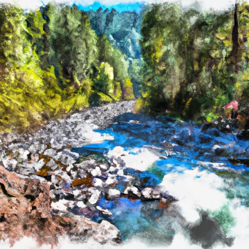 Middle Of Sec 15, T40S, R4E To Siskyou Nf Boundary (East Section Line Of Sec 13, T40S, R4E)
-
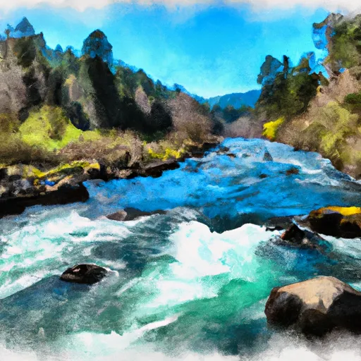 Confluence Of North And South Forks Rough And Ready To Middle Of Sec 15, T40S, R9W
-
 Headwaters Including Both Unnamed Forks And Rr Lakes To Confluence With Rough And Ready Creek
-
 Headwaters To Middle Of Sec 15, T39S, R4E
-
 Middle Of Sec 15, T39S, R4E To Confluence With Canyon Creek
-
 Confluence With Lightening Gulch To Confluence With Josephine Creek


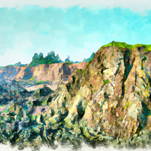 Rough and Ready State Natural Site
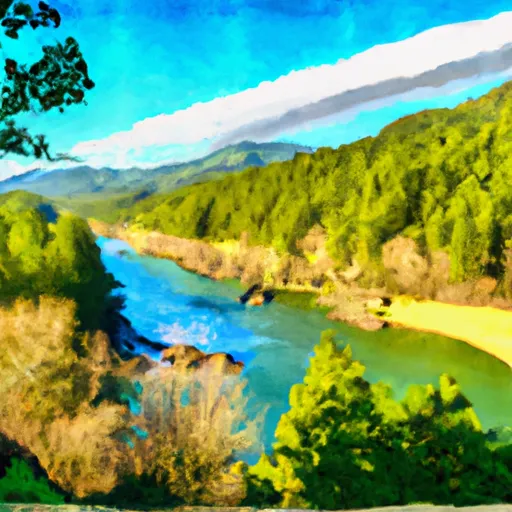 Illinois River Forks State Park
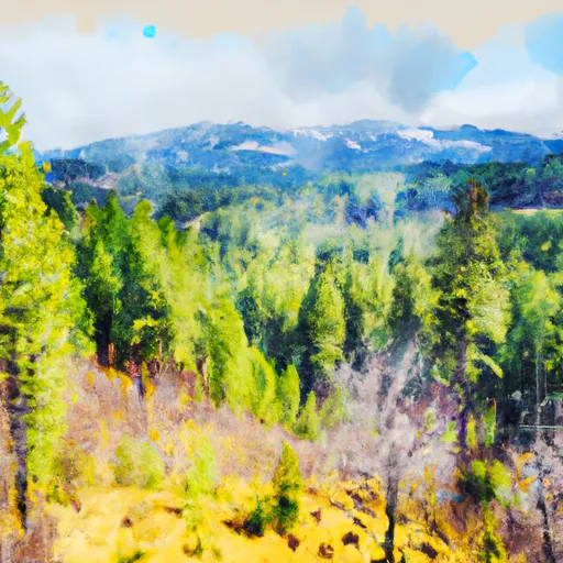 Siskiyou National Forest
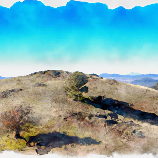 Eight Dollar Mountain State Natural Area