2026-02-13T12:00:00-08:00
* WHAT...Moderate risk of sneaker waves expected. * WHERE...Beaches of Curry, Coos, and Douglas counties. * WHEN...From 9 pm PST Thursday through noon PST Friday. * IMPACTS...Sneaker waves can run up significantly farther on beaches than normal, including over rocks and jetties. These waves can suddenly knock people off of their feet and sweep them into the ocean. The waves can also move logs or other objects which could crush or trap anyone caught underneath. * ADDITIONAL DETAILS...High tide on Friday morning may cause additional risks. * View the hazard area in detail at https://www.wrh.noaa.gov/map/?wfo=mfr
Summary
The ideal streamflow range for this run is between 1,000 and 3,000 cfs. The river features several notable rapids, including "Rattlesnake," "Devil's Staircase," and "Pinball." Additionally, there are several obstacles to be aware of, including log jams and undercut rocks.
As for regulations, the use of motorized watercraft is prohibited on this stretch of the Coquille River. Additionally, all watercraft must be equipped with a personal flotation device for each person on board. Visitors should also be aware of the Leave No Trace principles and pack out all trash and waste.
°F
°F
mph
Wind
%
Humidity
15-Day Weather Outlook
River Run Details
| Last Updated | 2026-02-07 |
| River Levels | 76 cfs (0.72 ft) |
| Percent of Normal | 10% |
| Status | |
| Class Level | iii-iv |
| Elevation | ft |
| Streamflow Discharge | cfs |
| Gauge Height | ft |
| Reporting Streamgage | USGS 14325000 |
5-Day Hourly Forecast Detail
Nearby Streamflow Levels
 South Fork Coquille River At Powers
|
634cfs |
 Rogue River Near Agness
|
5030cfs |
 West Fork Cow Creek Near Glendale
|
261cfs |
 Cow Creek Near Riddle
|
836cfs |
 Rogue River At Hwy 101 Bridge
|
3580cfs |
 South Umpqua River Near Brockway
|
3100cfs |
Area Campgrounds
| Location | Reservations | Toilets |
|---|---|---|
 Orchard Park
|
||
 Myrtle Grove
|
||
 Myrtle Grove Campground
|
||
 Powers County Park
|
||
 Buck Creek Campground
|
||
 Daphne Grove
|
Boat Launches
River Runs
-
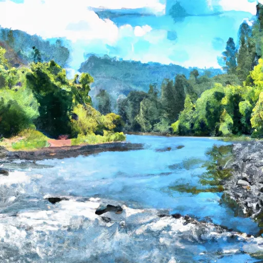 Coquille River Rna Boundary (Western) To Siskiyou Nf Boundary (North Section Line Sec 6, T32S, R11W
-
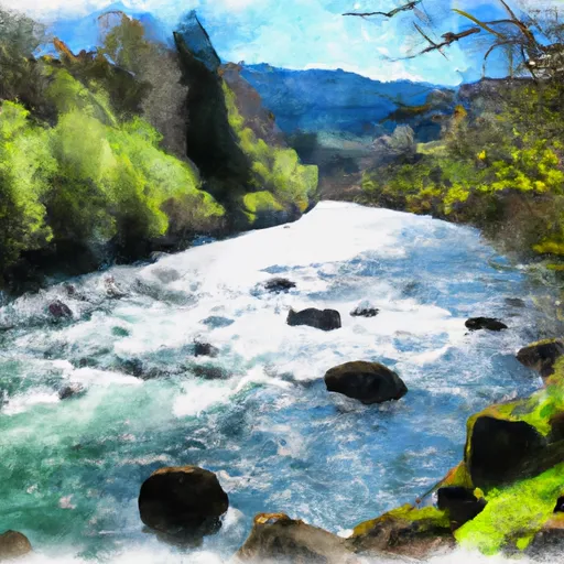 South Fork Coquille River
-
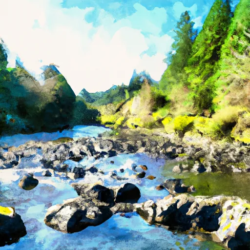 Confluence With Sucker Creek To Confluence With South Fork Coquille River
-
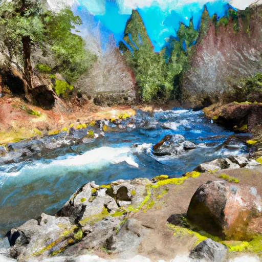 Headwaters To Confluence With Johnson Creek
-
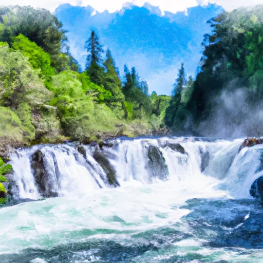 Coquille River Falls (Eastern Boundary) To Coquille River Falls (Western Boundary)
-
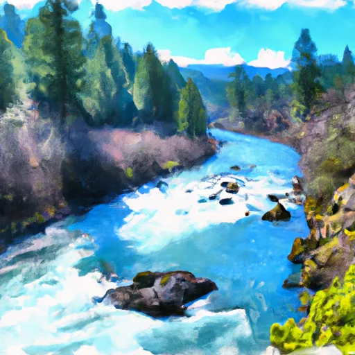 Sixes River


 Orchard Park