2026-02-13T12:00:00-08:00
* WHAT...Moderate risk of sneaker waves expected. * WHERE...Beaches of Curry, Coos, and Douglas counties. * WHEN...From 9 pm PST Thursday through noon PST Friday. * IMPACTS...Sneaker waves can run up significantly farther on beaches than normal, including over rocks and jetties. These waves can suddenly knock people off of their feet and sweep them into the ocean. The waves can also move logs or other objects which could crush or trap anyone caught underneath. * ADDITIONAL DETAILS...High tide on Friday morning may cause additional risks. * View the hazard area in detail at https://www.wrh.noaa.gov/map/?wfo=mfr
Summary
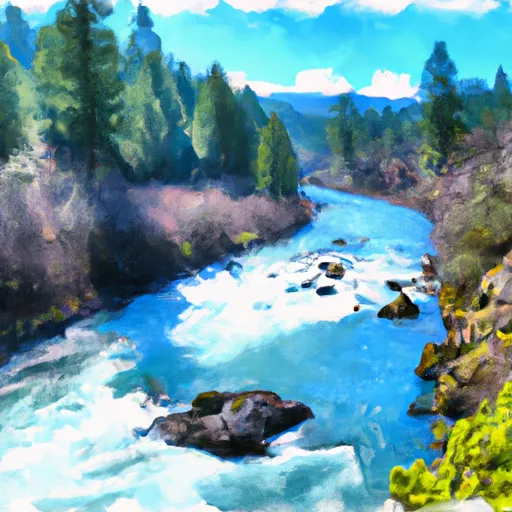
The ideal streamflow range for this river is between 800 and 3,000 cfs, which typically occurs during the spring months. The river is rated as a Class III-IV, making it suitable for intermediate to advanced paddlers. The segment mileage for this river is approximately 15 miles and includes several notable rapids and obstacles such as the infamous Devil's Staircase and the Big Mama Rapid.
In addition to the challenging rapids, the Sixes River is known for its stunning scenery, with lush forests and rugged cliffs lining the riverbanks. Visitors should be aware of specific regulations for the area, such as a permit requirement for overnight camping and limitations on group sizes. It is also important to respect local wildlife, as the Sixes River is home to a variety of species, including bald eagles and black bears.
Overall, the Sixes River is a thrilling whitewater run with breathtaking scenery, making it a must-visit for experienced paddlers seeking an adventure in the Pacific Northwest.
°F
°F
mph
Wind
%
Humidity
15-Day Weather Outlook
River Run Details
| Last Updated | 2025-06-28 |
| River Levels | 76 cfs (0.72 ft) |
| Percent of Normal | 70% |
| Status | |
| Class Level | iii-iv |
| Elevation | ft |
| Streamflow Discharge | cfs |
| Gauge Height | ft |
| Reporting Streamgage | USGS 14325000 |
5-Day Hourly Forecast Detail
Nearby Streamflow Levels
 South Fork Coquille River At Powers
|
634cfs |
 Rogue River Near Agness
|
5030cfs |
 West Fork Cow Creek Near Glendale
|
261cfs |
 Rogue River At Hwy 101 Bridge
|
3580cfs |
 Cow Creek Near Riddle
|
836cfs |
 South Umpqua River Near Brockway
|
3100cfs |
River Runs
-
 Sixes River
-
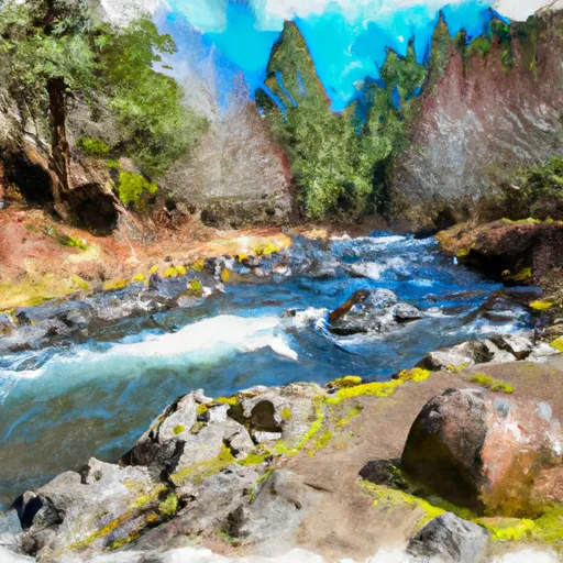 Headwaters To Confluence With Johnson Creek
-
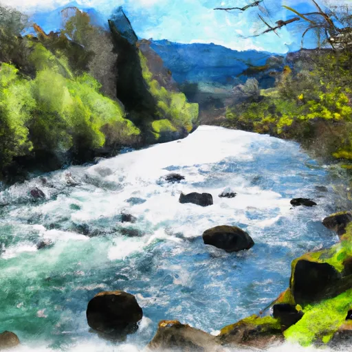 South Fork Coquille River
-
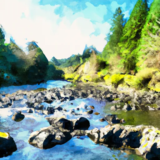 Confluence With Sucker Creek To Confluence With South Fork Coquille River
-
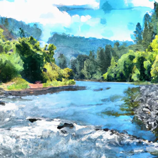 Coquille River Rna Boundary (Western) To Siskiyou Nf Boundary (North Section Line Sec 6, T32S, R11W
-
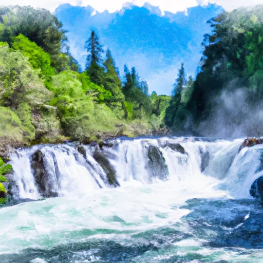 Coquille River Falls (Eastern Boundary) To Coquille River Falls (Western Boundary)


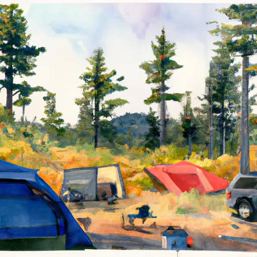 Sixes 19
 Sixes 18
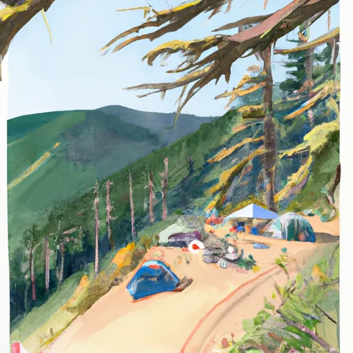 Sixes 17
 Sixes 15
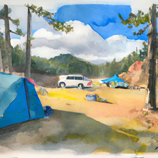 Sixes 14
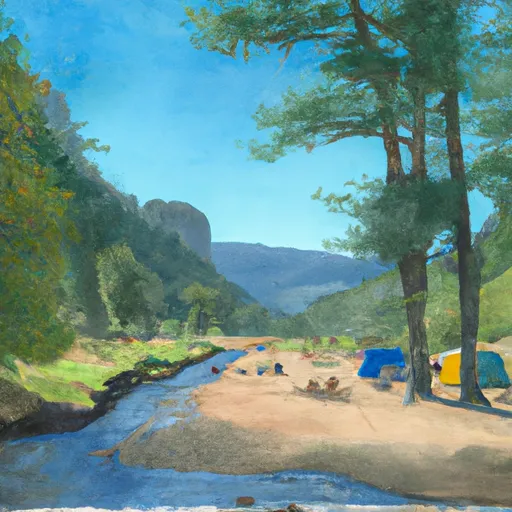 Sixes River
 Baker Pond
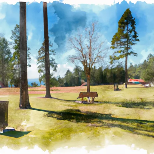 Albert H. Powers Memorial State Recreation Site
 Wilderness Grassy Knob
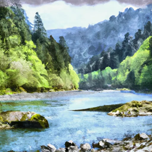 National Wild and Scenic River Elk, Oregon
 Wilderness Copper Salmon