Summary
The ideal streamflow range for this run is between 1,500 and 3,500 cfs, with the best time to go being in the spring and early summer months.
Rated as a Class III-IV run, this segment covers 12.5 miles with several challenging rapids and obstacles along the way. The most notable rapids include "Pinball," "The Maze," and "Hole-in-the-Wall." These rapids are created by large boulders and rock formations, providing an intense and exciting experience for those who dare to take on this stretch of river.
When planning a trip to this area, it is important to note that there are specific regulations that must be followed. A river permit is required for all boaters, and the number of permits issued each day is limited. Additionally, there are rules regarding camping and fires at the Clay Creek Campground, so it is important to review and understand these regulations before embarking on your adventure.
Overall, the Wildcat Creek Launch Site to Clay Creek Campground run offers a thrilling and challenging experience for experienced kayakers and rafters. With its stunning scenery and exciting rapids, this segment is a must-do for anyone looking for an unforgettable whitewater adventure in Oregon.
°F
°F
mph
Wind
%
Humidity
15-Day Weather Outlook
River Run Details
| Last Updated | 2026-02-07 |
| River Levels | 60 cfs (1.35 ft) |
| Percent of Normal | 26% |
| Status | |
| Class Level | iii-iv |
| Elevation | ft |
| Streamflow Discharge | cfs |
| Gauge Height | ft |
| Reporting Streamgage | USGS 14166500 |
5-Day Hourly Forecast Detail
Nearby Streamflow Levels
 Long Tom River Near Noti
|
228cfs |
 Siuslaw River Near Mapleton
|
1640cfs |
 Long Tom River Near Alvadore
|
44cfs |
 Umpqua River Near Elkton
|
3980cfs |
 East Fork Lobster Creek Near Alsea
|
21cfs |
 Coast Fork Willamette R Blw Cottage Grove Dam
|
79cfs |
Area Campgrounds
| Location | Reservations | Toilets |
|---|---|---|
 Clay Creek Recreation Site
|
||
 Clay Creek
|
||
 Whittaker Creek Campground
|
||
 Whittaker Creek Recreation Site
|
||
 Whittaker Creek
|


 Ford Access
 Whittaker Creek Campground
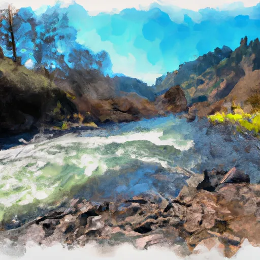 Wildcat Creek Launch Site To Clay Creek Campground
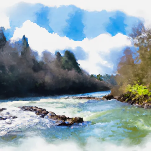 Siuslaw River Seg C
 Clay Creek Campground To Siuslaw Falls
 Eastern Siuslaw Nf Boundary To Confluence With Jump Creek
 Siuslaw River Seg B