Summary
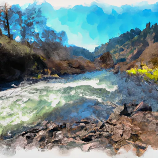
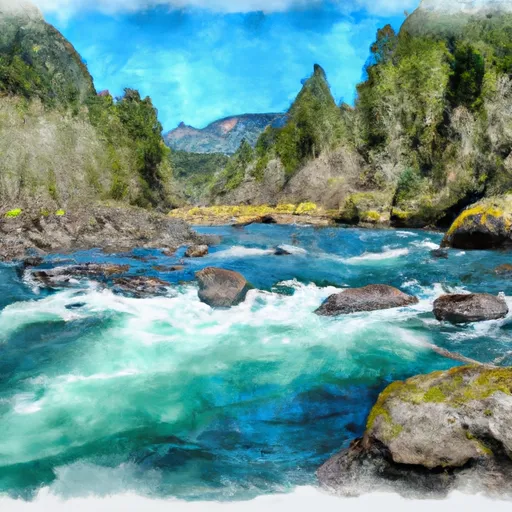
The ideal streamflow range for this run is between 500-1000 cfs, with peak flow in late winter and early spring. The class rating for this section of the river ranges from Class III to Class IV, with some challenging rapids and obstacles such as "Suicide Falls" and "Boulder Garden."
The segment mileage of this run is approximately 10 miles, making for a great day trip. However, it is important to note that there are specific regulations in place for this area. A permit is required for all river users, and camping is only allowed at designated sites. Additionally, there are restrictions on the use of motorized boats and other watercraft.
It is important for anyone considering this run to have experience in whitewater paddling and to have the proper equipment, including a helmet and personal flotation device. The river can be unpredictable and dangerous, so caution and preparation are key.
°F
°F
mph
Wind
%
Humidity
15-Day Weather Outlook
River Run Details
| Last Updated | 2026-02-07 |
| River Levels | 60 cfs (1.35 ft) |
| Percent of Normal | 26% |
| Status | |
| Class Level | iii-iv |
| Elevation | ft |
| Streamflow Discharge | cfs |
| Gauge Height | ft |
| Reporting Streamgage | USGS 14166500 |
5-Day Hourly Forecast Detail
Nearby Streamflow Levels
 Long Tom River Near Noti
|
228cfs |
 Coast Fork Willamette R Blw Cottage Grove Dam
|
79cfs |
 Long Tom River Near Alvadore
|
44cfs |
 Row River Near Cottage Grove
|
230cfs |
 Umpqua River Near Elkton
|
3980cfs |
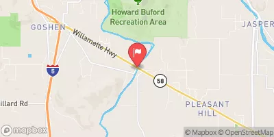 Coast Fork Willamette River Near Goshen
|
1050cfs |
Area Campgrounds
| Location | Reservations | Toilets |
|---|---|---|
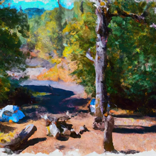 Clay Creek
|
||
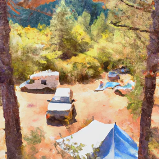 Clay Creek Recreation Site
|
||
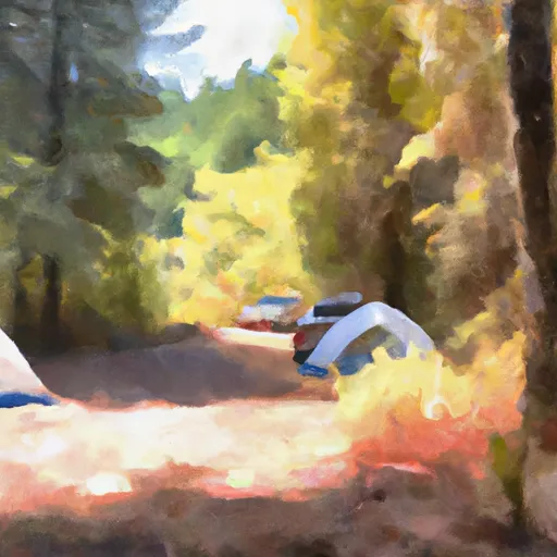 Pass Creek County Park
|


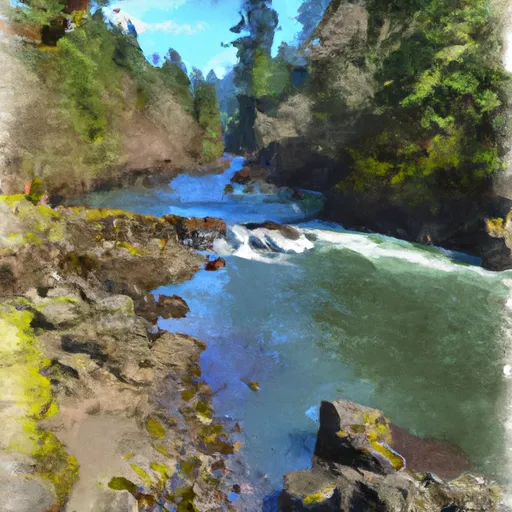 Clay Creek Campground To Siuslaw Falls
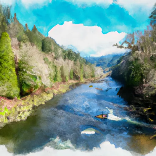 Siuslaw River Seg B
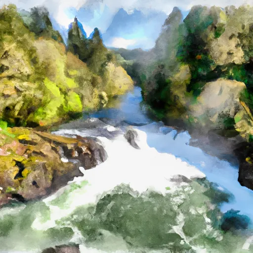 Siuslaw Falls To Confluence Of North And South Forks
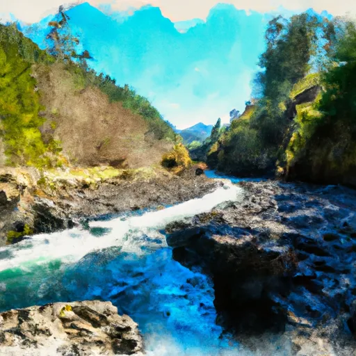 Confluence Of North And South Forks To Headwaters Of North Fork
 Wildcat Creek Launch Site To Clay Creek Campground
 Confluence Of North And South Forks To Headwaters Of South Fork