Summary
The ideal streamflow range for this river is between 300 and 800 cfs. This range offers class III-IV rapids, making it a thrilling adventure for experienced paddlers. The river segment is approximately 16 miles long, with rapids and obstacles such as Cow Creek Falls, the "Toilet Bowl," and "Pinball."
There are specific regulations for Cow Creek. The river is only open to kayakers and rafters, and personal flotation devices (PFDs) are required. Additionally, the use of alcohol and drugs is prohibited on the river, and all visitors are encouraged to leave no trace and respect the environment.
It is important to note that the river is subject to seasonal changes, and the streamflow range can vary based on rainfall and snowmelt. Visitors should check the current streamflow levels and weather conditions before planning a trip.
Overall, Cow Creek is a challenging and exciting river run for experienced paddlers, offering beautiful scenery and thrilling rapids.
°F
°F
mph
Wind
%
Humidity
15-Day Weather Outlook
River Run Details
| Last Updated | 2025-06-28 |
| River Levels | 40 cfs (1.5 ft) |
| Percent of Normal | 83% |
| Status | |
| Class Level | iii-iv |
| Elevation | ft |
| Streamflow Discharge | cfs |
| Gauge Height | ft |
| Reporting Streamgage | USGS 14309000 |
5-Day Hourly Forecast Detail
Nearby Streamflow Levels
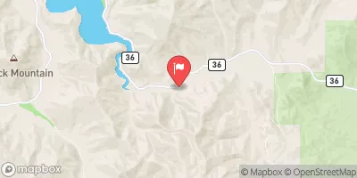
 Cow Creek Near Azalea
|
60cfs |
 Cow Creek Abv Galesville Res
|
50cfs |
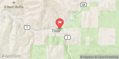
 South Umpqua River At Tiller
|
964cfs |
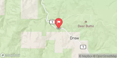
 Elk Creek Nr Drew
|
66cfs |
 Cow Creek Near Riddle
|
836cfs |
 West Fork Cow Creek Near Glendale
|
261cfs |
Area Campgrounds
| Location | Reservations | Toilets |
|---|---|---|
 Chief Miwaleta
|
||
 Devils Flat
|
||
 Devils Flat Guard Station
|
||
 Charles V. Stanton Park
|


 Lavadour
 Cow Creek
 Quines Creek
 South Umpqua