Winter Weather Advisory
2026-02-19T10:00:00-08:00
2026-02-19T10:00:00-08:00
* WHAT...Snow showers expected. Total snow accumulations of 4 to 8 inches. * WHERE...East Slopes of the Oregon Cascades. * WHEN...From 10 AM this morning to 10 AM PST Thursday. * IMPACTS...Travel could be difficult due to periods of moderate to heavy snow.
Summary
The river is full of obstacles such as rapids and rocks, making it a Class III-IV rapid difficulty level. The best time to float this section of water is during the summer months when the water flow is around 1,500 to 2,000 cfs. Rafters should be prepared to navigate through rapids such as Big Eddy, Lava Island Falls, and Dillon Falls. Overall, this river run provides an exciting and scenic experience for those looking for a challenging adventure on the water.
°F
°F
mph
Wind
%
Humidity
15-Day Weather Outlook
River Run Details
| Last Updated | 2023-06-13 |
| River Levels | 771 cfs (2.84 ft) |
| Percent of Normal | 91% |
| Optimal Range | 800-3000 cfs |
| Status | Runnable |
| Class Level | V- to V+ |
| Elevation | 1,951 ft |
| Run Length | 2.5 Mi |
| Gradient | 43 FPM |
| Streamflow Discharge | 911 cfs |
| Gauge Height | 3.2 ft |
| Reporting Streamgage | USGS 14076500 |
5-Day Hourly Forecast Detail
Nearby Streamflow Levels
Area Campgrounds
| Location | Reservations | Toilets |
|---|---|---|
 Big River Campground/Big River Group
|
||
 Big River
|
||
 Swamp Wells - Horse Camp
|
||
 Swamp Wells
|


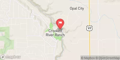
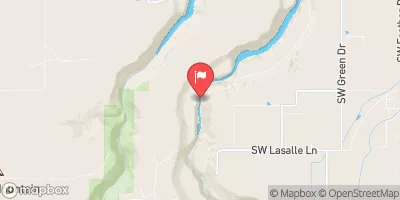
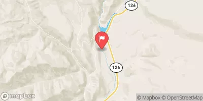
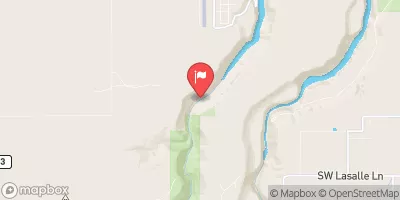
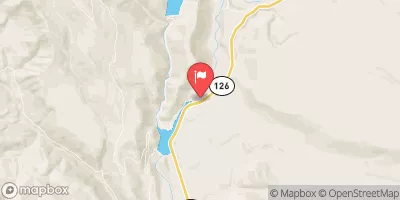
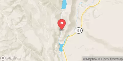
 Benham Falls to Dillon Falls
 Dillon Falls to Mount Bachelor Village (Big Eddy)
 Big River to Benham Falls
 Source To Confluence With Deschutes River
 Bend to Tumalo State Park (Riverhouse Run)
 Wildflower Park
 Hollygrape Park
 Skyliners Park
 Shevlin Park
 Sun Meadow Park