Summary
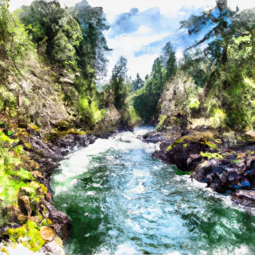
The best time to float this section is in the spring when water levels are high, typically around 3,000-4,000 cfs. Some notable river obstacles include the Lost Creek Dam, which requires a portage, and the Class III Nugget Falls. This section offers great scenery and wildlife viewing opportunities, including ospreys and bald eagles. Overall, this is a fun and challenging section of the Rogue River, best suited for intermediate to advanced paddlers.
°F
°F
mph
Wind
%
Humidity
15-Day Weather Outlook
River Run Details
| Last Updated | 2023-06-13 |
| River Levels | 953 cfs (1.56 ft) |
| Percent of Normal | 93% |
| Optimal Range | 700-3500 cfs |
| Status | Runnable |
| Class Level | II to II+ |
| Elevation | 1,499 ft |
| Run Length | 31.3 Mi |
| Gradient | 13 FPM |
| Streamflow Discharge | 1290 cfs |
| Gauge Height | 2.0 ft |
| Reporting Streamgage | USGS 14337600 |
5-Day Hourly Forecast Detail
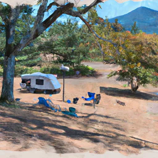
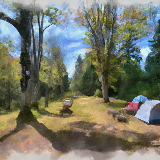
Area Campgrounds
| Location | Reservations | Toilets |
|---|---|---|
 Rogue Elk County Park
|
||
 Fire Glen Campground
|
||
 Joseph Stewart State Park
|


 McGregor Park
 Lost Creek Lake to Gold Ray Dam
 Rogue River
 Joseph H Stewart State Recreation Area
 Shady Park
 Prospect State Scenic Viewpoint