Summary
It is a concrete boat ramp that allows easy access to the water for boaters. The ramp is approximately 24 feet wide, providing ample space for boats to launch and retrieve.
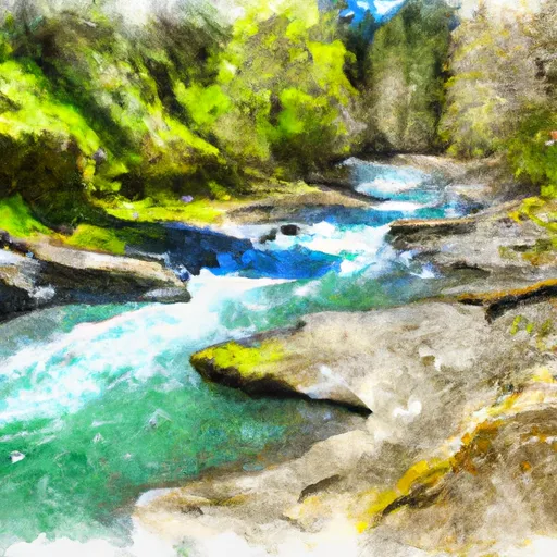
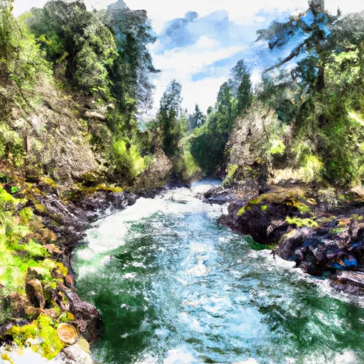
The body of water that the Takelma boat ramp services is the Rogue River. This river is approximately 215 miles long and runs through southwestern Oregon, flowing into the Pacific Ocean near Gold Beach. It is a popular destination for recreational boating, fishing, and river rafting.
At the Takelma boat ramp, a variety of watercraft are permitted. This includes motorized boats, kayaks, canoes, and paddleboards. However, it is important to note that boaters should follow all regulations related to watercraft licensing, safety equipment, and boating behavior.
The information provided about the Takelma boat ramp was verified through the Oregon State Marine Board website, which provides up-to-date information on boating access points and regulations across the state.
°F
°F
mph
Wind
%
Humidity
15-Day Weather Outlook
Nearby Boat Launches
5-Day Hourly Forecast Detail
Area Streamflow Levels
| ROGUE RIVER AT DODGE BRIDGE | 1580cfs |
| ROGUE RIVER NEAR MCLEOD | 1300cfs |
| ELK CREEK NEAR TRAIL | 164cfs |
| BIG BUTTE CREEK NEAR MCLEOD | 115cfs |
| ROGUE R AT COLE M RIVERS F HATCHERY NR MCLEOD | 911cfs |
| ROGUE RIVER AT RAYGOLD NEAR CENTRAL POINT | 2040cfs |

 Takelma
 Sams Creek
 Lost Creek Lake to Gold Ray Dam
 Rogue River
 Gold Ray Dam to Grants Pass