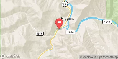
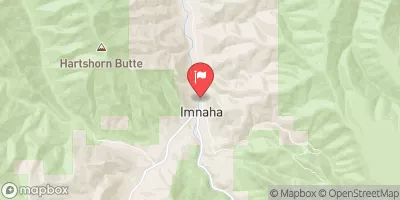
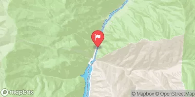
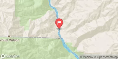
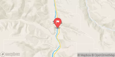
Pittsburg Landing To Heller Bar
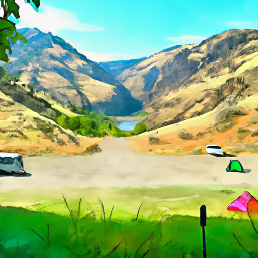
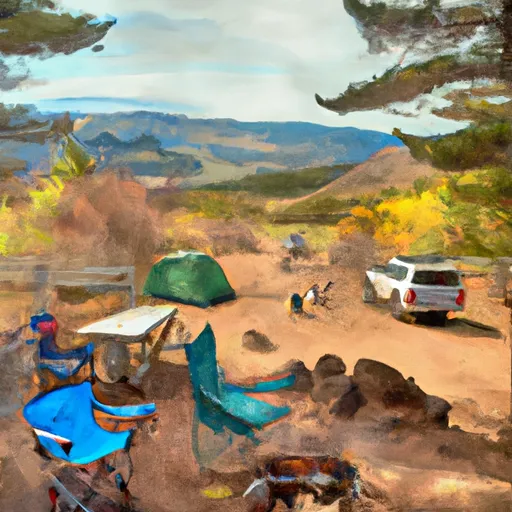
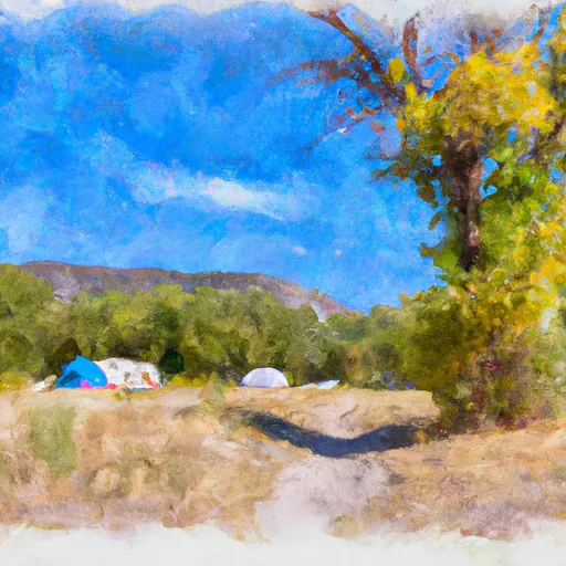
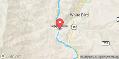
The snake river is considered a scenic river at this point. This is still a remote canyon with many class II rapids and camps. Many boaters float this section by continuing from the Hells Canyon run, putting in at Pittsburg Landing, or floating in from the lower Salmon River where it joins the Snake River in this section.
Suggested river levels for paddling this section of the Snake River are between a bare minimum of 6,000cfs and a high of 80,000cfs.
River conditions sourced from USGS 13290450, the Snake River At Hells Canyon Dam Id-Or State Line
Remember only watercraft are permitted
at Pittsburg Landing to Heller Bar.
Run Stats
Status | Runnable |
Class Level | II to III |
Elevation | 1,471 ft |
Run Length | 46.0 Mi |
Streamflow Discharge | 13900 cfs |
Gage Height | 65.4 ft |
Air Temperature | 51° |
River | Snake River |
Reporting Streamgage |
Snake River At Hells Canyon Dam Id-Or State Line
USGS 13290450 |
Lower Pittsburg Rapid
Class II |
Upper Pleasant Valley Rapid
Class II |
Lower Pleasant Valley Rapid
Class II |
Davis Creek Rapid
Class II |
Unnamed Rapid
Class II |
Somers Creek Rapid
Class II |
Cottonwood Rapid
Class II |
Lookout Creek Rapid
Class II |
Lower Lookout Creek Rapid
Class II |
Highrange Rapid
Class II |
Copper Creek Rapid
Class II |
Roland Bar Rapid
Class II |
Wolf Creek Rapid
Class II |
Five Pine Rapid
Class II |
Unnamed Rapid
Class II |
Dry Creek Rapid
Class II |
Unnamed Rapid
Class II |
Big Sulphur Rapid
Class II |
Boulder Rapid
Class II |
Deep Creek Rapid
Class II |
Unnamed Rapid
Class II |
Robinson Gulch Rapid
Class II |
Dug Creek Rapid
Class II |
Lower Dug Bar Rapid
Class II |
Warm Springs Rapid
Class II to II+ |
White Horse Rapid
Class II |
Zig Zag Rapid
Class II |
Divide Creek Rapid
Class II |
Imnaha Rapid
Class III |
Unnamed Rapid
Class II |
Mountain Sheep Rapid
Class II |
Salmon River Falls Rapid
Class II |
Frenchy Rapid
Class II |
Cook Creek Rapid
Class II |
Cougar Bar Rapids
Class II |
McDuff Rapid
Class II |
Shovel Creek Rapid
Class II |
Wild Goose Rapid
Class II |
Deer Head Rapids
Class II |
Limekiln Rapid
Class II |
Gauge | Streamflow | Stage |
---|---|---|
Snake River Near Anatone
USGS 13334300 |
31,500 cfs | 6.8 ft |
Snake River Bl Mcduff Rapids At China Gardens
USGS 13317660 |
26,600 cfs | 8.6 ft |
Sweetwater Creek At Mouth At Sweetwater Id
USGS 13342340 |
8 cfs | 3.7 ft |
Lake Fork Payette River Ab Jumbo Cr Nr Mccall Id
USGS 13240000 |
105 cfs | 4.5 ft |
Salmon River At White Bird Id
USGS 13317000 |
9,550 cfs | 15.3 ft |
Lolo Creek Nr Greer Id
USGS 13339500 |
704 cfs | 10.9 ft |
Imnaha River At Imnaha
USGS 13292000 |
150 cfs | ft |
Clearwater River At Spalding Id
USGS 13342500 |
22,300 cfs | 8.0 ft |
Sf Clearwater River At Stites Id
USGS 13338500 |
1,390 cfs | 4.4 ft |
Nf Payette River At Mccall Id
USGS 13239000 |
130 cfs | 2.5 ft |
Snotel Site | Snowpack | 24hr Change |
---|---|---|
Secesh Summit
SNOTEL 740 |
57" | 0" |
Elk Butte
SNOTEL 466 |
85" | 2" |
Squaw Flat
SNOTEL 782 |
31" | -1" |
Bear Saddle
SNOTEL 324 |
47" | 0" |
Brundage Reservoir
SNOTEL 370 |
58" | 0" |
Long Valley
SNOTEL 1016 |
5" | -1" |
Bear Basin
SNOTEL 319 |
44" | 0" |
grangeville 0.2 ene, id
SNOTEL ID-ID-10 |
0.12" | 0" |
West Branch
SNOTEL 855 |
33" | -1" |
Moscow Mountain
SNOTEL 989 |
46" | 1" |
Campground | Campsites | Reservations | Toilets | Showers | Elevation |
---|---|---|---|---|---|
Seven Devils | 10 | 7,546 ft | |||
Windy Saddle | 4 | 7,585 ft | |||
Pittsburg - Hells Canyon | 28 | 1,223 ft | |||
Seven Devils - Hells Canyon Wilderness | 7 | 7,513 ft |
Ski Area | Snowpack | Air Temperature | 5 Day Forecast |
---|---|---|---|
Cottonwood Butte | 0" | 28° | 4.89" |
River Run | Streamflow | Length | Class |
---|---|---|---|
Hammer Creek to Heller Bar (Lower Salmon) | 763.0cfs | 50.0 Mi | III- to IV |
Hells Canyon (Hells Canyon Dam to Pittsburg Landing) | 13900.0cfs | 31.5 Mi | III to IV |
Pittsburg Landing to Heller Bar | 13900.0cfs | 46.0 Mi | II to III |