2026-02-17T20:00:00-07:00
...PROLONGED PERIOD OF CRITICAL FIRE WEATHER CONDITIONS EARLY TO MID NEXT WEEK... .Recent dry conditions combining with above normal temperatures and much stronger winds early next week will bring potentially critical fire weather conditions Monday and Tuesday, possibly lasting into Wednesday. There is potential for extreme fire weather conditions on Tuesday as widespread strong and gusty winds to around 60 mph are expected. The National Weather Service in Denver has issued a Fire Weather Watch for wind and low relative humidity, which is in effect from Tuesday morning through Tuesday evening. * AFFECTED AREA...Fire Weather Zones 215, 238, 239, 242, 243, 248, 250 and 251. * TIMING...From Tuesday morning through Tuesday evening. * WINDS...West 30 to 40 mph with gusts around 60 mph. * RELATIVE HUMIDITY...As low as 13 percent. * IMPACTS...Conditions will be favorable for rapid fire spread. Avoid outdoor burning and any activity that may produce a spark and start a wildfire. There is potential for extreme fire weather conditions on Tuesday.
Summary
The main obstacles on this run include several steep drops, tight turns, and a few small rapids that require precise maneuvering. The recommended flow for this section of water is between 500 and 1,000 cfs. However, during peak runoff season, the water levels can reach up to 2,000 cfs, making the river more challenging. Overall, the Upper North Fork River is a fun and exciting run that is best suited for intermediate paddlers with some experience navigating Class III rapids.
°F
°F
mph
Wind
%
Humidity
15-Day Weather Outlook
River Run Details
| Last Updated | 2023-06-13 |
| River Levels | 28 cfs (2.25 ft) |
| Percent of Normal | 138% |
| Optimal Range | 250-1000 cfs |
| Status | Too Low |
| Class Level | IV+ to V- |
| Elevation | 6,288 ft |
| Run Length | 9.0 Mi |
| Gradient | 60 FPM |
| Streamflow Discharge | 0.0 cfs |
| Gauge Height | 1.4 ft |
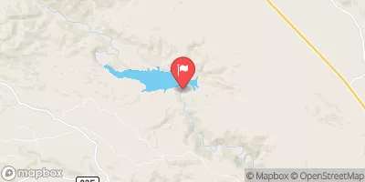
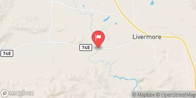
| Reporting Streamgage | USGS 06751150 |
5-Day Hourly Forecast Detail
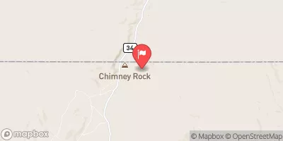
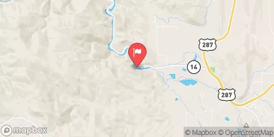
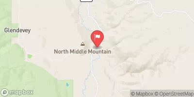
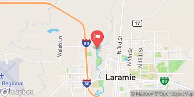
Nearby Streamflow Levels
Area Campgrounds
| Location | Reservations | Toilets |
|---|---|---|
 Dowdy Lake Campground
|
||
 Dowdy Lake
|
||
 West Lake
|
||
 West Lake Campground
|
||
 Bellaire Lake
|
||
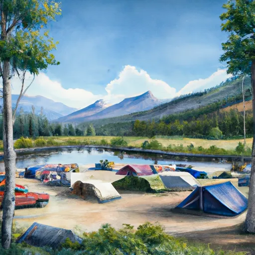 Bellaire Lake Campground
|
River Runs
-
 Upper North Fork
-
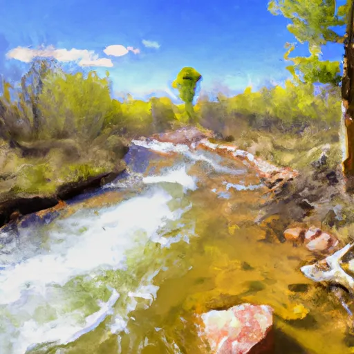 Intermittent Stream To Junction With Co Division Of Wildlife Angler Access Trail In Sw 1/4 Sec 22, T11N, R72W
-
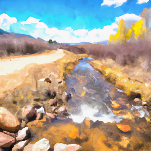 Road West Of Creedmore Lakes To Junction Of Intermittent Stream In Sw 1/4, Sec 29, T11N, R72W
-
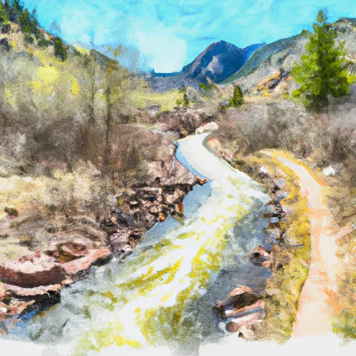 Co Dow Anlger Access Trail To Nf Boundary On East Section Line, Sec 24, T11N, R72W
-
 Pearl Creek To Junction Of Road West Of Creedmore Lakes In Sw 1/4 Sec 5, T10N, R73E
-
 End Of Four-Wheel Drive Road To Pearl Creek In Se 1/4 Sec 21, T10N, R74W


 Dowdy Drive 2, Larimer County
 Creedmore Lake Fishing Site
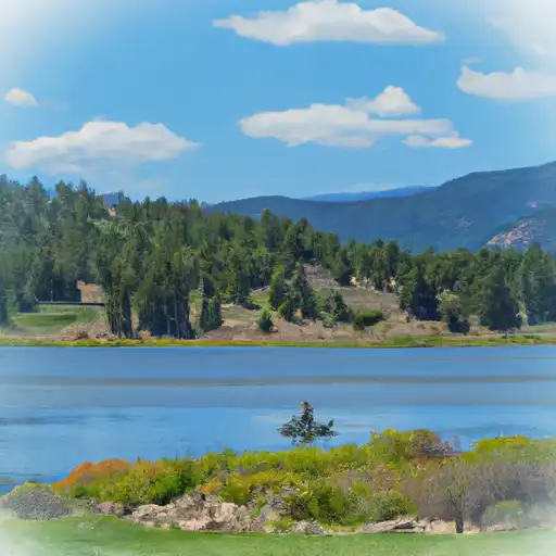 Dowdy Lake
 West Lake
 Parvin Lake
 West Lake Day Use Area