Summary
The ideal streamflow range for this river is between 400 and 1,000 cubic feet per second (cfs). The river is rated as a Class II-III, meaning it has moderate rapids with some obstacles that require maneuvering.
The segment mileage of the Whitewater River Run ranges from Western Park Boundary to Ends Just Downstream From South Draw Road, covering approximately 5 miles. The river features several notable rapids and obstacles, including the Big Kahuna, the Pinball Rapid, and the Last Chance Rapid.
There are specific regulations in place for the Whitewater River Run. All boaters are required to wear a personal flotation device (PFD) and helmets while on the river. In addition, commercial outfitters must obtain a permit from the Bureau of Land Management to operate on the river. Private boaters are also required to obtain a permit, which can be obtained through the same process used by commercial outfitters.
Overall, the Whitewater River Run offers a thrilling and challenging experience for experienced paddlers. It is important to adhere to all regulations and safety guidelines to ensure a safe and enjoyable trip.
°F
°F
mph
Wind
%
Humidity
15-Day Weather Outlook
River Run Details
| Last Updated | 2026-02-07 |
| River Levels | 56 cfs (4.09 ft) |
| Percent of Normal | 100% |
| Status | |
| Class Level | ii-iii |
| Elevation | ft |
| Run Length | 4.0 Mi |
| Streamflow Discharge | cfs |
| Gauge Height | ft |
| Reporting Streamgage | USGS 09330000 |
5-Day Hourly Forecast Detail
Nearby Streamflow Levels
Area Campgrounds
| Location | Reservations | Toilets |
|---|---|---|
 Lower Bowns
|
||
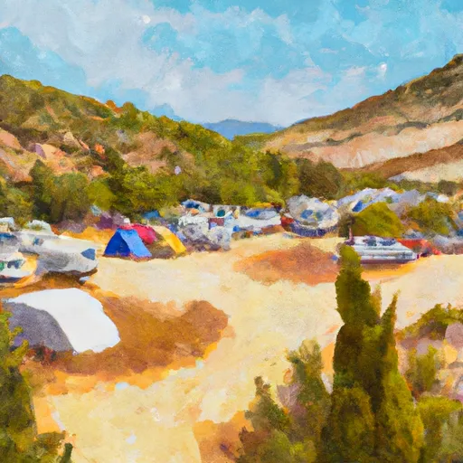 LOWER BOWNS CAMPGROUND
|
||
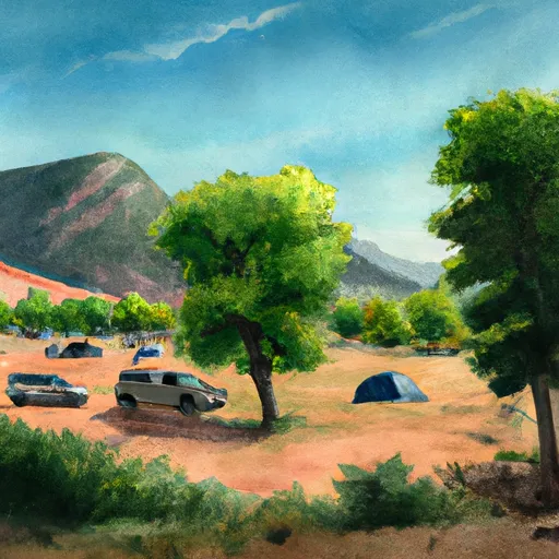 SINGLETREE CAMPGROUND
|
||
 Singletree
|
||
 Pleasant Creek
|
||
 UPPER PLEASANT CREEK CAMPGROUND
|


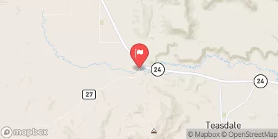

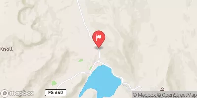
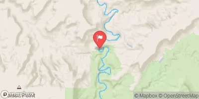
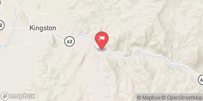
 Western Park Boundary To Ends Just Downstream From South Draw Road
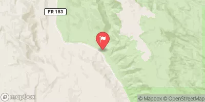
 Beging Just Downstream From South Draw Road To Eastern Park Boundary
 Western Boundary Of Park To Fruita Area
 Fremont River 2 (Fremont Gorge)
 Fruita Area To Eastern Park Boundary