Summary
The ideal streamflow range for this segment is between 200 and 400 cubic feet per second (cfs), which provides the perfect mix of challenging rapids and navigable terrain. The class rating for this section of the river is Class III, which means that it is considered moderately difficult with moderate waves and obstacles that require experienced paddling skills.
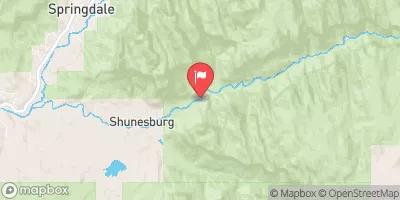
This segment of the Virgin River covers a distance of approximately 9 miles and features several notable rapids and obstacles, including the "Double Dip" and "Miles of Smiles" rapids. The "Double Dip" rapid is a technical drop that requires precise navigation, while "Miles of Smiles" is a longer series of rapids that provide a thrilling and challenging ride.
In terms of regulations, all boaters are required to have a permit to access this section of the river. The permit system is managed by the Bureau of Land Management (BLM), and permits can be obtained online or at the BLM office in St. George, Utah. Additionally, all boaters are required to follow Leave No Trace principles and pack out all trash and waste.
°F
°F
mph
Wind
%
Humidity
15-Day Weather Outlook
River Run Details
| Last Updated | 2025-06-28 |
| River Levels | 62 cfs (5.63 ft) |
| Percent of Normal | 96% |
| Status | |
| Class Level | iii |
| Elevation | ft |
| Streamflow Discharge | cfs |
| Gauge Height | ft |
| Reporting Streamgage | USGS 09404900 |


 Zion Mountain Ranch Campground
 Open camp spot
 Very tight dirt Road, lots of branches will scratch vehicle
 camping Spot, road washed out, CATION
 South Campground Site 125
 South Campground Site 126
 Virgin River, East Fork Segment 40A-41
 Virgin River, East Fork Segment 37-40A
 Mineral Gulch Segment 35-38
 Meadow Creek Segment 33-35
 Virgin River
 NF-Zion Park-Satan's Staircase