Summary
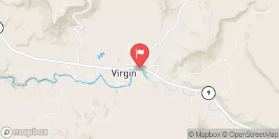
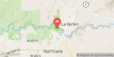
The ideal streamflow range for this segment is between 300-800 cubic feet per second (cfs), making it a thrilling ride with Class III-IV rapids. The segment is 8.5 miles long and takes approximately 3-4 hours to complete.
Some of the notable rapids and obstacles on this stretch of the river include "Off the Wall," "Dunce Cap," and "Hell Hole." These rapids offer technical challenges and excitement for experienced paddlers. However, beginners should take caution and consider hiring a guide.
There are specific regulations to the area that visitors should be aware of. Due to the presence of private land, visitors are not allowed to camp on the riverbank. Additionally, visitors should obtain a permit from the Bureau of Land Management before entering the river.
In summary, the Meadow Creek Segment 33-35 of the Whitewater River Run in Utah offers an exciting and challenging adventure for experienced paddlers. The ideal streamflow range is between 300-800 cfs, and the segment is 8.5 miles long with Class III-IV rapids. Visitors should be aware of specific regulations to the area, including the need for a permit and the prohibition on camping on private land.
°F
°F
mph
Wind
%
Humidity
15-Day Weather Outlook
River Run Details
| Last Updated | 2025-06-28 |
| River Levels | 62 cfs (5.63 ft) |
| Percent of Normal | 96% |
| Status | |
| Class Level | iii-iv |
| Elevation | ft |
| Streamflow Discharge | cfs |
| Gauge Height | ft |
| Reporting Streamgage | USGS 09404900 |


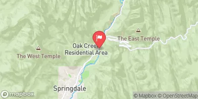
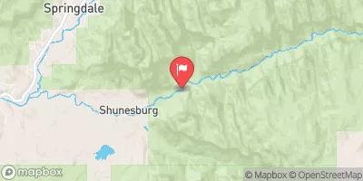
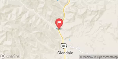
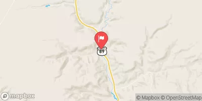
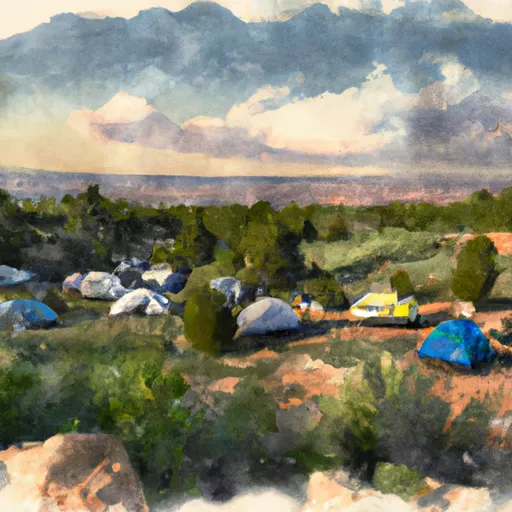 Open camp spot
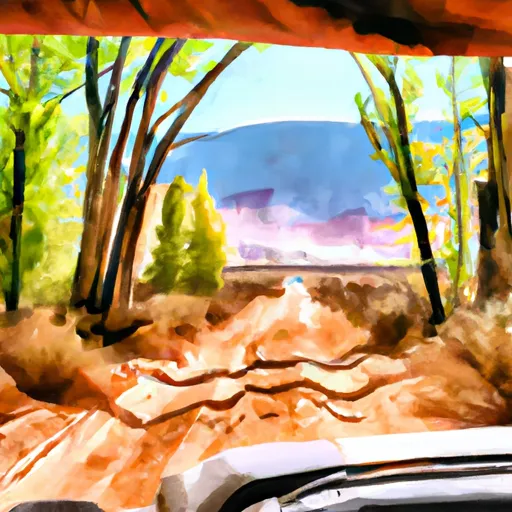 Very tight dirt Road, lots of branches will scratch vehicle
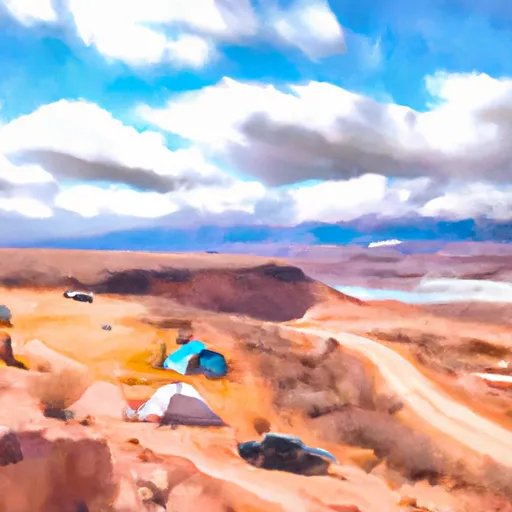 camping Spot, road washed out, CATION
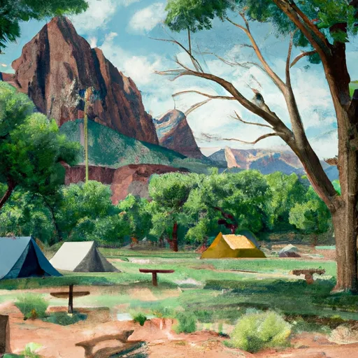 Zion Mountain Ranch Campground
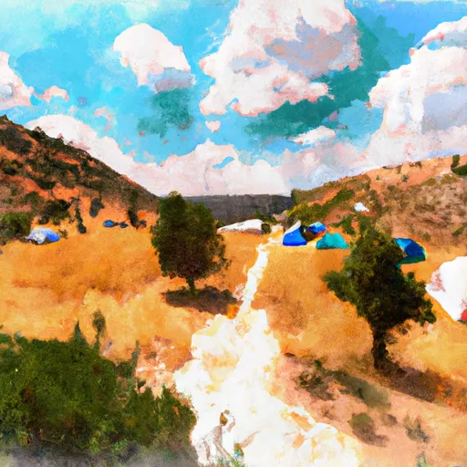 Mount Carmel Free Campsite
 South Campground Site 125
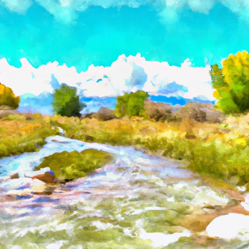 Meadow Creek Segment 33-35
 Mineral Gulch Segment 35-38
 Virgin River, East Fork Segment 37-40A
 Virgin River, East Fork Segment 40A-41
 Orderville Canyon Segment 44-45
 Esplin Gulch Segment 45-45A