Summary
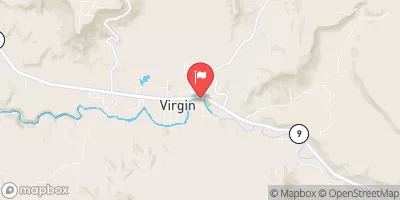
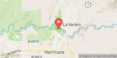
The ideal streamflow range for this segment is between 150-400 cfs. The class rating is class III-IV, with a segment mileage of 7.7 miles. The river features specific rapids and obstacles such as "The Narrows," a tight and technical section of the river, and "The Black Hole," a large hole that can trap inexperienced paddlers.
There are specific regulations for this area, including permits required for overnight camping and group size limits. Additionally, visitors are required to pack out all garbage and human waste to protect the natural environment.
According to the American Whitewater website, the East Fork Segment 37-40A is a "must-do" run for experienced paddlers seeking a challenging and scenic adventure. However, due to the technical nature of this section, it is not recommended for novice paddlers.
In conclusion, the Virgin River, East Fork Segment 37-40A is a thrilling whitewater river run in Utah with a class rating of III-IV, spanning over 7.7 miles. Paddlers should aim for a streamflow range of 150-400 cfs and remain aware of specific rapids and obstacles such as "The Narrows" and "The Black Hole." Additionally, visitors should adhere to specific regulations in the area, including permits and group size limits, to protect the natural environment.
°F
°F
mph
Wind
%
Humidity
15-Day Weather Outlook
River Run Details
| Last Updated | 2025-06-28 |
| River Levels | 62 cfs (5.63 ft) |
| Percent of Normal | 96% |
| Status | |
| Class Level | iii-iv |
| Elevation | ft |
| Streamflow Discharge | cfs |
| Gauge Height | ft |
| Reporting Streamgage | USGS 09404900 |


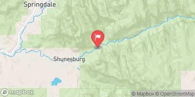
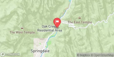
 Zion Mountain Ranch Campground
 Open camp spot
 Very tight dirt Road, lots of branches will scratch vehicle
 camping Spot, road washed out, CATION
 Mount Carmel Free Campsite
 South Campground Site 125
 Virgin River, East Fork Segment 37-40A
 Virgin River, East Fork Segment 40A-41
 Mineral Gulch Segment 35-38
 Meadow Creek Segment 33-35
 NF-Zion Park-Satan's Staircase
 Virgin River