2026-02-18T17:00:00-07:00
* WHAT...Heavy snow expected. Total snow accumulations between 3 and 8 inches. * WHERE...Cache Valley/Utah Portion. * WHEN...From 3 AM to 5 PM MST Wednesday. * IMPACTS...Winter driving conditions are likely, particularly for the Wednesday morning commute. * ADDITIONAL DETAILS...A period of heavy snow is expected between roughly 6 AM to 10 AM, with snowfall rates of 1 inch or more per hour possible at times. Showery conditions will persist through the remainder of the day.
Summary
The river has some challenging sections with rocks and boulders that require careful maneuvering. The best time of year to float this section of water is between May and July, with a recommended flow of 300-800 cfs. Overall, this river run is recommended for intermediate paddlers with some previous experience in whitewater.
°F
°F
mph
Wind
%
Humidity
15-Day Weather Outlook
River Run Details
| Last Updated | 2023-06-13 |
| River Levels | 127 cfs (2.58 ft) |
| Percent of Normal | 187% |
| Optimal Range | 300-1000 cfs |
| Status | Too Low |
| Class Level | II+ to III- |
| Elevation | 4,697 ft |
| Gradient | 60 FPM |
| Streamflow Discharge | 98.4 cfs |
| Gauge Height | 2.6 ft |
| Reporting Streamgage | USGS 10109000 |
5-Day Hourly Forecast Detail
Nearby Streamflow Levels
 Logan River Above State Dam
|
103cfs |
 Logan
Logan
|
0cfs |
 Blacksmith Fork Ab U.P.&L. Co
|
64cfs |
 Little Bear River At Paradise
|
48cfs |
 Bear River Near Corinne
|
1030cfs |
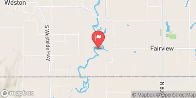 Bear River At Idaho-Utah State Line
|
473cfs |
Area Campgrounds
| Location | Reservations | Toilets |
|---|---|---|
 Bridger Campground
|
||
 Logan, free camping
|
||
 Spring Hollow Campground
|
||
 Guinavah - Malibu Campground
|
||
 Preston Valley Campground
|
||
 Wood Camp Campground
|


 Logan Town Run
 Staircase Section - 2nd Dam to 1st Dam
 3rd Dam to 2nd Dam
 Confluence With Beaver Creek To Bridge In Guinavah-Malibu Campground
 Source To Mouth
 Denzil Stewart Nature Park
 Merlin Olsen Central Park
 Bridgerland Park
 Elk Ridge Park
 Braegger Park