Summary
The section runs from the 2nd Dam to 1st Dam, and features several challenging river obstacles such as Class IV rapids, steep drops, and tight turns. The difficulty level of this run is high, so it is recommended only for experienced paddlers. The best time to float this section of water is in the late spring or early summer when the water levels are high, with recommended cfs of 400-800. Caution should be taken during periods of high water as the rapids can become dangerous.
°F
°F
mph
Wind
%
Humidity
15-Day Weather Outlook
River Run Details
| Last Updated | 2023-06-13 |
| River Levels | 127 cfs (2.58 ft) |
| Percent of Normal | 187% |
| Optimal Range | 500-1000 cfs |
| Status | Too Low |
| Class Level | IV+ to V- |
| Elevation | 4,697 ft |
| Gradient | 150 FPM |
| Streamflow Discharge | 100 cfs |
| Gauge Height | 2.6 ft |
| Reporting Streamgage | USGS 10109000 |
5-Day Hourly Forecast Detail
Nearby Streamflow Levels
 Logan
Logan
|
0cfs |
 Logan River Above State Dam
|
100cfs |
 Blacksmith Fork Ab U.P.&L. Co
|
63cfs |
 Little Bear River At Paradise
|
50cfs |
 Bear River At Idaho-Utah State Line
|
571cfs |
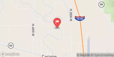 Bear River Near Corinne
|
1050cfs |
Area Campgrounds
| Location | Reservations | Toilets |
|---|---|---|
 Bridger Campground
|
||
 Logan, free camping
|
||
 Spring Hollow Campground
|
||
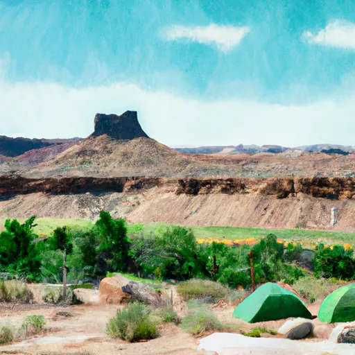 Guinavah - Malibu Campground
|
||
 Preston Valley Campground
|
||
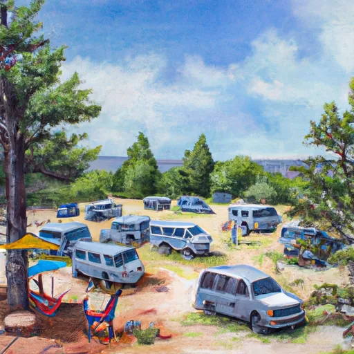 Wood Camp Campground
|


 Staircase Section - 2nd Dam to 1st Dam
 3rd Dam to 2nd Dam
 Logan Town Run
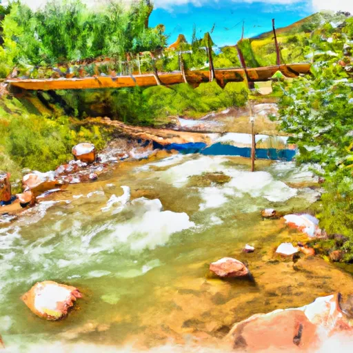 Confluence With Beaver Creek To Bridge In Guinavah-Malibu Campground
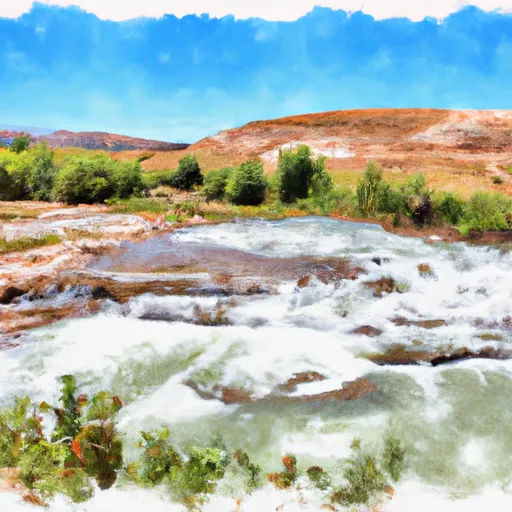 Source To Mouth
 River Hollow Park
 Elk Ridge Park
 Denzil Stewart Nature Park
 Merlin Olsen Central Park
 Braegger Park