Mouth Of Weber Canyon To Riverdale
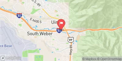
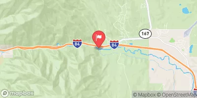
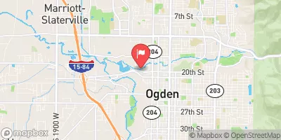
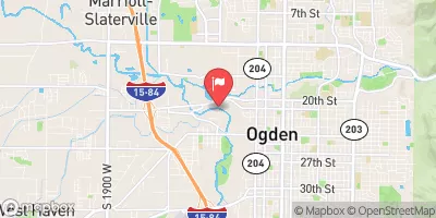
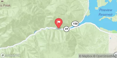
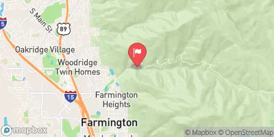
This is a fun class three run that ends in the best play spot in Utah. There are two waves right after the highway 84 bridge that come in at high water. These waves have no eddy service and therefore are hit it n quit it. The main danger is trees and lack of eddies, which makes the consequences potentionally higher than class III, be sure to have a reliable roll. It can also become quite a maze, so be on your toes. At the bottom of the run is the Riverdale wave. This is a great wave hole with perfect eddy service. It comes in around 900 cfs and just gets better and better with more flows. This is probably the best take out, but you can continue on in relatively flat water to 24th street. In high water, look out for low bridges. 24th street is a series of three holes that offer great play in flows down to 200 cfs. In high water they can be burly.
Suggested river levels for paddling this section of the Weber River are between a bare minimum of 500cfs and a high of 2,000cfs.
River conditions sourced from USGS 10132000, the Weber River At Echo
Remember only watercraft are permitted
at Mouth of Weber Canyon to Riverdale.
Run Stats
Status | Too Low |
Class Level | III |
Elevation | 5,444 ft |
Run Length | 10.0 Mi |
Gradient | 17 FPM |
Streamflow Discharge | 357 cfs |
Gage Height | 2.7 ft |
Air Temperature | 88° |
River | Weber River |
Reporting Streamgage |
Weber River At Echo
USGS 10132000 |
Gauge | Streamflow | Stage |
---|---|---|
Snake Creek Near Charleston
USGS 10156000 |
26 cfs | 1.8 ft |
Logan
USGS 10108400 |
74 cfs | 3.6 ft |
Weber River At I-84 At Uintah
USGS 10136600 |
207 cfs | 5.4 ft |
Weber River At Echo
USGS 10132000 |
357 cfs | 2.7 ft |
Weber River At Ogden
USGS 10137000 |
239 cfs | 4.2 ft |
East Canyon Creek Near Jeremy Ranch
USGS 10133800 |
15 cfs | 4.7 ft |
South Fork Ogden River Near Huntsville
USGS 10137500 |
48 cfs | 1.5 ft |
Little Bear River At Paradise
USGS 10105900 |
10 cfs | 5.1 ft |
Weber River Near Coalville
USGS 10130500 |
209 cfs | 2.4 ft |
Silver Creek Near Silver Creek Junction
USGS 10129900 |
9 cfs | 4.4 ft |
Snotel Site | Snowpack | 24hr Change |
---|---|---|
atwater study plot
SNOTEL ATH20_MADIS |
8" | 0" |
Campground | Campsites | Reservations | Toilets | Showers | Elevation |
---|
Ski Area | Snowpack | Air Temperature | 5 Day Forecast |
---|---|---|---|
Brighton Ski Resort | 40" | 71° | 0" |
Solitude Mountain Resort | 24" | 72° | 0" |
Canyons | 40" | 71° | 0" |
Snowbasin | 0" | 84° | 0" |
Powder Mountain | -1" | 83° | 0" |
Snowbird Ski and Summer Resort | 66" | 73° | 0" |
Alta Ski Area | 66" | 73° | 0" |
River Run | Streamflow | Length | Class |
---|---|---|---|
Round Valley | 0.77cfs | 5.5 Mi | II |
Rainbow Gardens | 153.0cfs | 3.0 Mi | III to IV- |
Below Ogden Play Park | 239.0cfs | 3.0 Mi | II |
Riverdale Wave | 0.77cfs | 0.18 Mi | III- |
Staircase Section - 2nd Dam to 1st Dam | 127.0cfs | None Mi | IV+ to V- |
Ogden Narrows | 153.0cfs | 2.0 Mi | III+ to IV |
Skeletor's Gorge | 11.7cfs | 1.4 Mi | IV+ |
Ogden Play Park | 324.0cfs | 0.06 Mi | III- |
Morgan Waterfall | 0.77cfs | 0.1 Mi | III+ |
3rd Dam to 2nd Dam | 144.0cfs | None Mi | II+ to III |
Park and Ride to Old Mill Catch Pond | 92.3cfs | 1.25 Mi | IV to V |
Logan Town Run | 127.0cfs | None Mi | II+ to III- |
Mouth of Weber Canyon to Riverdale | 0.77cfs | 10.0 Mi | III |
Scrambled Eggs Bend | 308.0cfs | 4.0 Mi | IV |
Lower Ogden | 153.0cfs | 2.5 Mi | III+ |