Summary
The run features a variety of obstacles including Class II rapids, logjams, and low-hanging branches. The best time to float this section of water is during the summer months when the water levels are between 150-250 cfs. It is important to wear appropriate safety gear and be aware of potential hazards along the way. Overall, this section of the Provo River offers a fun and challenging experience for those looking to explore the outdoors.
°F
°F
mph
Wind
%
Humidity
15-Day Weather Outlook
River Run Details
| Last Updated | 2023-06-13 |
| River Levels | 92 cfs (4.21 ft) |
| Percent of Normal | 321% |
| Optimal Range | 150-700 cfs |
| Status | Too Low |
| Class Level | IV to V |
| Elevation | 4,512 ft |
| Run Length | 1.3 Mi |
| Gradient | 167 FPM |
| Streamflow Discharge | 99.4 cfs |
| Gauge Height | 4.2 ft |
| Reporting Streamgage | USGS 10163000 |
5-Day Hourly Forecast Detail
Nearby Streamflow Levels
Area Campgrounds
| Location | Reservations | Toilets |
|---|---|---|
 Tanners Flat Campground
|
||
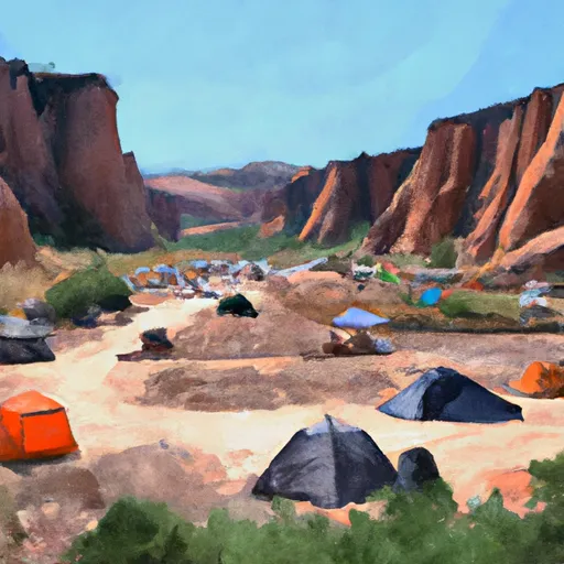 Tanners Flat
|
||
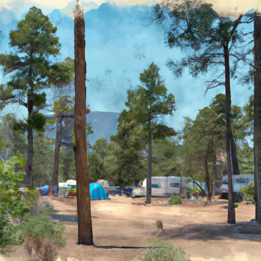 Jordan Pines Group Campground
|
||
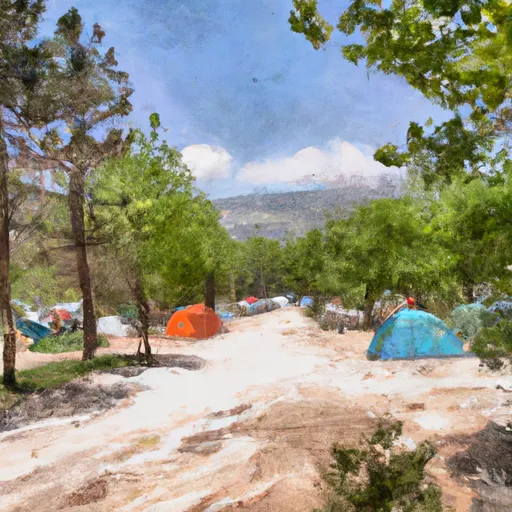 Spruces Campground
|
||
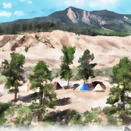 Spruces
|
||
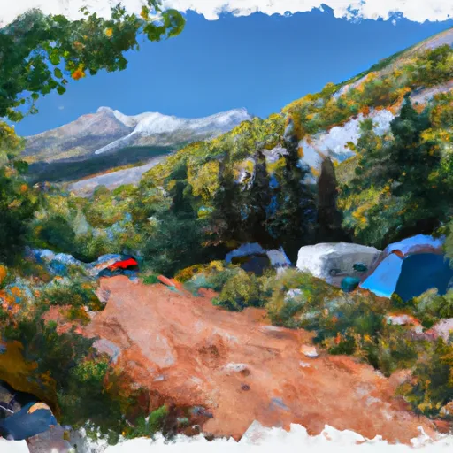 Albion Basin Campground
|


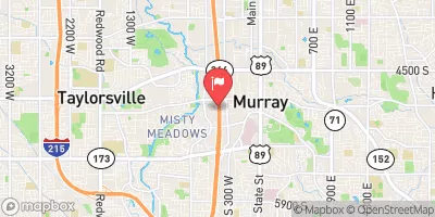
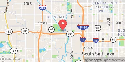
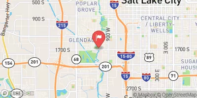
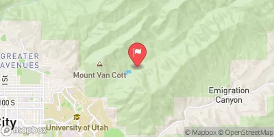

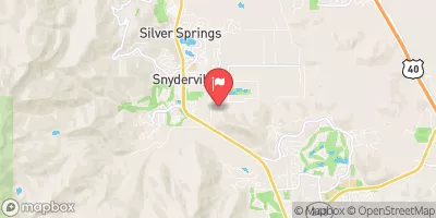
 Park and Ride to Old Mill Catch Pond
 Source To Murray City Diversion
 Source To Red Butte Reservoir
 Skeletor's Gorge
 Tibble Res Down
 Mill Hollow Park
 Bair Park
 Anzak Park
 Glacio Park
 Flat Iron Mesa Park
 Lake Florence
 Mill Canyon Fishing Dock and Boardwalk
 Lake Solitude
 Lake Desolation
 Silver Lake