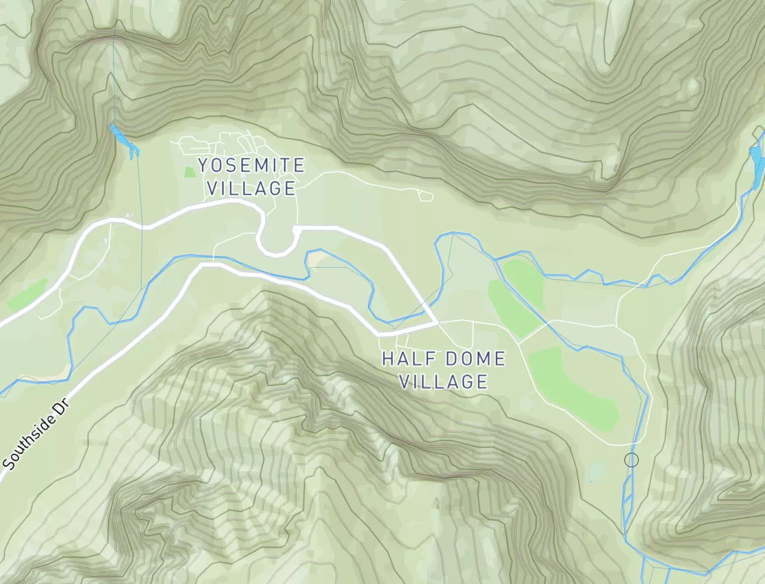
Summary
Regional Streamflow Levels
15-Day Long Term Forecast
River Run Details
| Last Updated | |
| River Levels | cfs ( ft) |
| Percent of Normal | +100% |
| Status | |
| Class Level | IV |
| Elevation | ft |
| Run Length | 2.0 Mi |
| Gradient | 125 FPM |
| Streamflow Discharge | cfs |
| Gauge Height | ft |
| Reporting Streamgage | USGS |
5-Day Hourly Forecast Detail
Area Campgrounds
| Location | Reservations | Toilets |
|---|---|---|
 Granite Flat Campground
|
||
 Warnick
|
||
 Granite Flat
|
||
 Little Mill
|
||
 Little Mill Campground
|
||
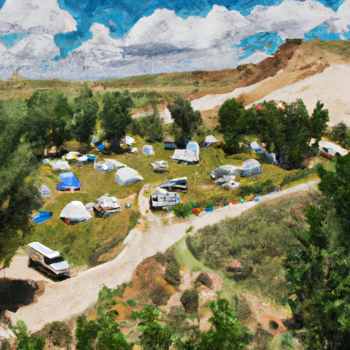 Altamont Group Campground
|


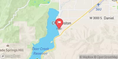
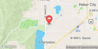
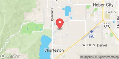
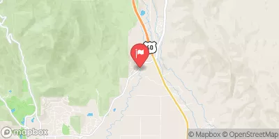
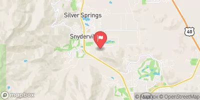

 State Route 314 Wasatch County
 Tibble Res Down
 Mt Timpanogos Wilderenss Boundary To Scout Falls
 Confluence Below Timpooneke To Mt Timpanogos Wilderness Boundary
 Skeletor's Gorge
 Eastern Boundary Of National Monument To Western Boundary Of National Monument
 Headwater Spring In Sec 8 To Mt Timpanogos Wilderness Boundary
 Wilderness Twin Peaks
 Deer Creek State Park
 Wasatch Mountain State Park
 Manila Park
 Wilderness Mount Timpanogos
 Lake Martha
 Lake Solitude
 Lake Lillian
 Lake Florence
 Silver Lake
 Continue with Snoflo Premium