2026-02-23T19:00:00-05:00
* WHAT...Heavy snow expected. Total snow accumulations between 5 and 12 inches with locally higher amounts into the Helderbergs and Schoharie County. Winds gusting between 30 and 40 mph will lead to areas of blowing snow. * WHERE...Schoharie County, the Helderbergs, portions of the Capital District and the Rensselaer Plateau in eastern New York and all of southern Vermont. * WHEN...From 7 PM this evening to 7 PM EST Monday. * IMPACTS...Travel could be difficult. Visibilities may drop below 1/4 mile due to falling and blowing snow. Areas of blowing snow could significantly reduce visibility. The hazardous conditions could impact the Monday morning and evening commutes. * ADDITIONAL DETAILS...A powerful nor'easter will impact the region late this afternoon through Monday. The higher snowfall amounts will be favored across the higher elevations. Snowfall rates may reach 1 inch per hour at times tonight into early Monday morning with up to 2 inches in the Helderbergs and Schoharie County.
Summary
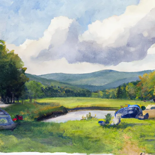
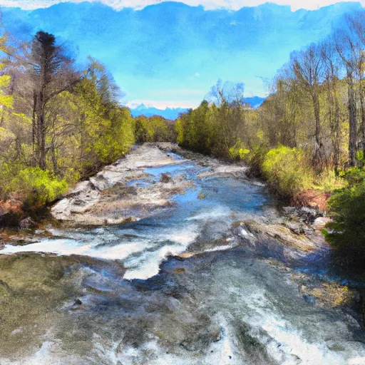
The ideal streamflow range for this run is between 200 and 400 cfs. The river is rated as Class III, with some Class IV sections, and covers a distance of approximately 7.5 miles.
The river rapids and obstacles in this section include the popular Triple Drop Rapid, which is a series of three drops that require precise boat control. Other notable rapids include The Squeeze and The Ledge. The river also features several strainers and boulder gardens that require careful navigation.
There are specific regulations in place to protect the river and its users. The use of motorized watercraft is prohibited, and all watercraft must be inspected for invasive species before entering the river. Additionally, there are restrictions on camping and fires along the riverbanks.
Overall, the Whitewater River Headwaters to Proclamation Boundary run is a challenging and exhilarating experience for intermediate to advanced paddlers. It is important to consult multiple sources for streamflow information and to adhere to all regulations to ensure a safe and enjoyable trip.
°F
°F
mph
Wind
%
Humidity
15-Day Weather Outlook
River Run Details
| Last Updated | 2026-02-02 |
| River Levels | 49 cfs (4.19 ft) |
| Percent of Normal | 122% |
| Status | |
| Class Level | iii-iv |
| Elevation | ft |
| Streamflow Discharge | cfs |
| Gauge Height | ft |
| Reporting Streamgage | USGS 01155500 |
5-Day Hourly Forecast Detail
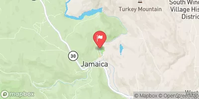
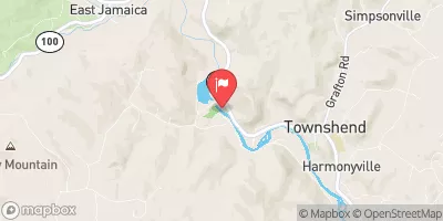
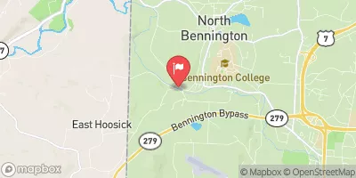
Nearby Streamflow Levels
Area Campgrounds
| Location | Reservations | Toilets |
|---|---|---|
 South Bourne Pond
|
||
 North Bourne Pond
|
||
 Stratton View Tenting Area
|
||
 Grout Pond Recreation Area
|
||
 Grout Pond
|
||
 Camping on the Battenkill
|


 Dufresne Pond Road Manchester
 Headwaters To Proclamation Boundary
 Headwaters To Wilderness Boundary
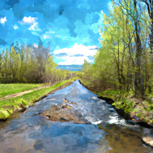 Headwaters To End Of Kendall Farm Road
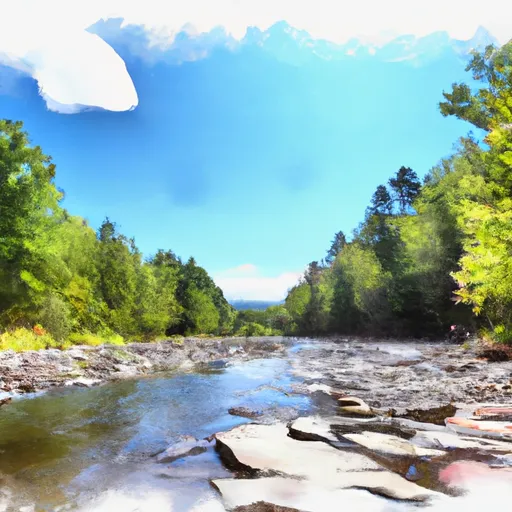 Wilderness Boundary To Confluence With Batten Kill
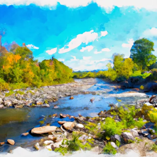 End Of Kendall Farm Road To Confluence With West River
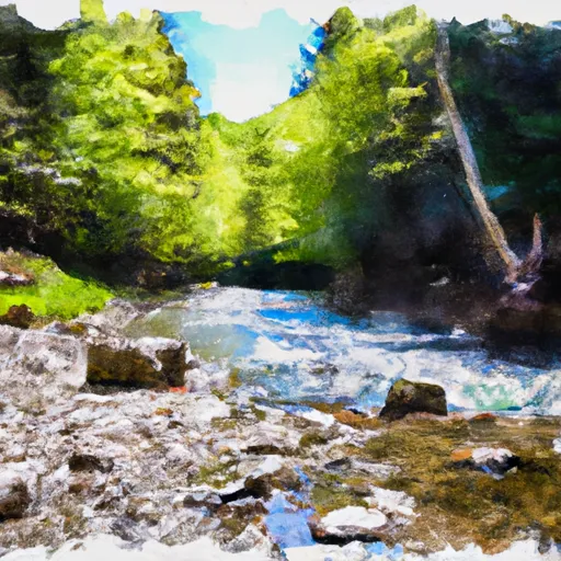 Lye Brook Wilderness Boundary To Confluence Of Batten Kill