Headwaters In The Mystic Lake Basin On The North Side Of Mount Rainier To Northern Boundary Of Mount Rainier National Park Paddle Report
Last Updated: 2025-12-08
The Whitewater River run begins at the headwaters in the Mystic Lake Basin on the north side of Mount Rainier and runs to the northern boundary of Mount Rainier National Park in Washington state.
Summary
This run is ideal for experienced kayakers and rafters, with a recommended streamflow range of 500-3000 cfs. The class rating for this run is class III-IV, with some difficult class V rapids in certain sections. The segment mileage for this run is approximately 14 miles.
There are several notable rapids and obstacles on this run, including the Entrance Exam, Chaos, and the Narrows. These rapids require expert navigation skills and are not recommended for novice paddlers. It is also important to note that Mount Rainier National Park has specific regulations for the Whitewater River run, including a limit on the number of permits issued per day and a requirement for all paddlers to have appropriate safety equipment.
Sources:
- American Whitewater: https://www.americanwhitewater.org/content/River/detail/id/1693/
- Mount Rainier National Park: https://www.nps.gov/mora/planyourvisit/upload/Whitewater-River-Permit-Application.pdf
°F
°F
mph
Wind
%
Humidity
15-Day Weather Outlook
River Run Details
| Last Updated | 2025-12-08 |
| River Levels | 1210 cfs (47.97 ft) |
| Percent of Normal | 180% |
| Status | |
| Class Level | iii-iv |
| Elevation | ft |
| Run Length | 8.0 Mi |
| Streamflow Discharge | cfs |
| Gauge Height | ft |
| Reporting Streamgage | USGS 12097850 |
5-Day Hourly Forecast Detail
Nearby Streamflow Levels
 Puyallup River Near Electron
|
296cfs |
 Carbon River Near Fairfax
|
256cfs |
 White River Below Clearwater River Nr Buckley
|
2550cfs |
 Greenwater River At Greenwater
|
182cfs |
 Nisqually River Near National
|
621cfs |
 Cowlitz River At Packwood
|
1730cfs |
Area Campgrounds
| Location | Reservations | Toilets |
|---|---|---|
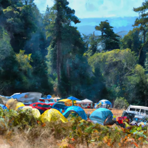 Mystic Camp
|
||
 Granite Creek Camp
|
||
 Dick Creek Camp
|
||
 Camp Curtis
|
||
 Cataract Valley Camp
|
||
 Yellowstone Cliffs Camp
|
River Runs
-
 Headwaters In The Mystic Lake Basin On The North Side Of Mount Rainier To Northern Boundary Of Mount Rainier National Park
-
 Headwaters On The Nw Slope Of Mount Rainier At Carbon Glacier To Confluence With Ipsut Creek
-
 Confluence With Ipsut Creek To Western Boundary Of Mount Rainier National Park
-
 Headwaters On The Southeast Flank Of Mount Rainier At An Elevation Of 5500 Ft To Confluence With Chinook Creek
-
 Headwaters At The Terminus Of The Ingraham Glacier To Ends 1/4 Mile North Of Box Canyon
-
 Begins 1/4 Mile North Of Box Canyon To Ends 1/4 Mile South Of Box Canyon

