Summary
The ideal streamflow range for this run is between 1,000-2,000 cubic feet per second (cfs), which usually occurs during the spring snowmelt or after heavy rainfall. During low water flows, the rapids become more technical and challenging.
The river has several notable rapids, including "The Notch," "Double Drop," and "The S-Turn." These rapids offer exciting challenges for experienced kayakers and rafters. However, the river also has several dangerous hazards, including strainers and undercut rocks, which require caution and skill to navigate.
This section of the Whitewater River is located within Olympic National Forest and is subject to specific regulations. These regulations include a permit system, which limits the number of daily users. Additionally, the use of motors on the river is prohibited, and all users must practice Leave No Trace principles to minimize their impact on the surrounding environment.
In conclusion, the Whitewater River run from Brothers Wilderness Boundary to Olympic NF Boundary in Washington is a thrilling and challenging run for experienced paddlers. The ideal streamflow range for this run is between 1,000-2,000 cfs, and the river offers Class III to IV rapids. However, users must be aware of the hazards and follow specific regulations to ensure their safety and minimize their impact on the environment.
°F
°F
mph
Wind
%
Humidity
15-Day Weather Outlook
River Run Details
| Last Updated | 2026-02-07 |
| River Levels | 623 cfs (1.97 ft) |
| Percent of Normal | 84% |
| Status | |
| Class Level | iii |
| Elevation | ft |
| Streamflow Discharge | cfs |
| Gauge Height | ft |
| Reporting Streamgage | USGS 12054000 |
5-Day Hourly Forecast Detail
Nearby Streamflow Levels
Area Campgrounds
| Location | Reservations | Toilets |
|---|---|---|
 Interrorem Cabin
|
||
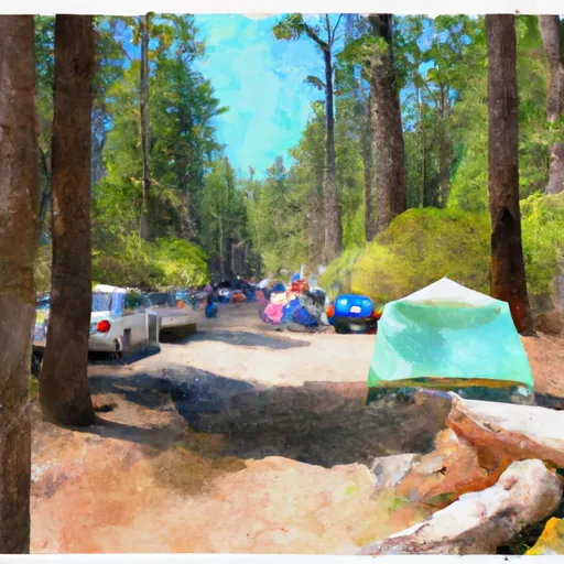 Collins
|
||
 Collins Campground
|
||
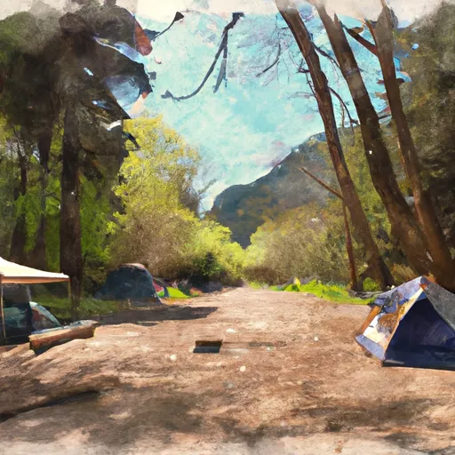 Dosewallips State Park
|
||
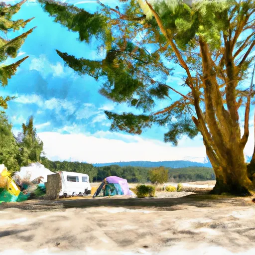 Dosewallips State Park Camping
|
||
 Seal Rock
|


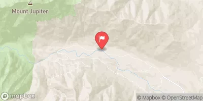
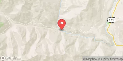
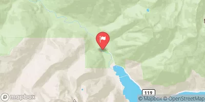
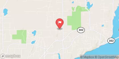
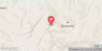
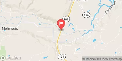
 Brothers Wilderness Boundary To Olympic Nf Boundary
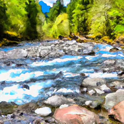 Olympic Nf/Olympic Np Bounary To Brothers Wilderness Boundary
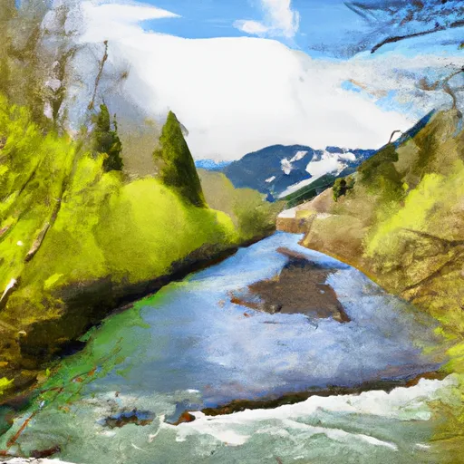 Headwaters- Includes All Tributaries (Upstream From Station Creek) To Confluence With Dosewallips River
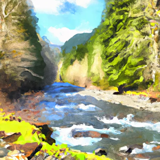 Headwaters- Includes All Tributaries To Confluence With Dosewallips River
 Wilderness The Brothers
 Scenic Beach State Park
 Buckhorn Wilderness
 Anderson Landing County Park
 Wildcat Lake County Park