Summary
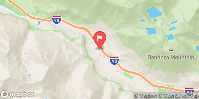
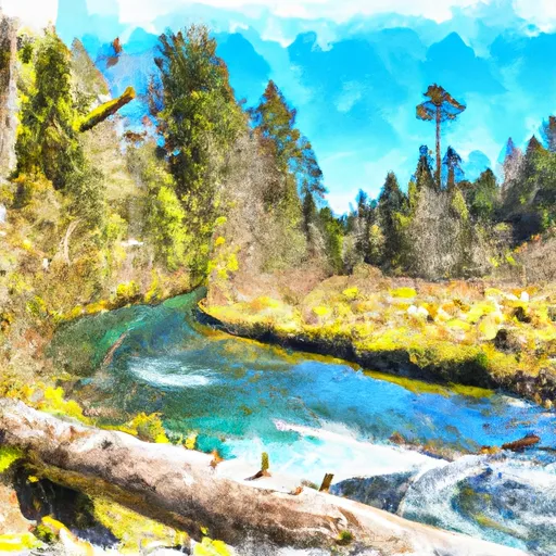
The Whitewater River Run in the Alpine Lakes Wilderness Boundary to Confluence with West Fork Foss River in Washington is a popular destination for kayaking and rafting enthusiasts. The ideal streamflow range for this run is between 300-800 cfs, which provides Class II-III rapids suitable for intermediate paddlers. The segment mileage of this run is approximately 6 miles and includes several rapids such as Boulder Drop, Staircase, and Triple Drop.
One of the main obstacles in this river run is the Boulder Drop, which is a Class III rapid that features a large boulder in the middle of the river. Paddlers must navigate around the boulder to avoid capsizing. Another challenging rapid is the Triple Drop, which consists of three successive drops that require precise maneuvering.
To ensure the safety of all visitors, specific regulations are in place for the Whitewater River Run. Paddlers must obtain a permit to access the area and must abide by the Leave No Trace principles. Additionally, motorized vehicles are not allowed in the area, and all trash must be carried out.
In conclusion, the Whitewater River Run in the Alpine Lakes Wilderness Boundary to Confluence with West Fork Foss River in Washington offers a thrilling experience for intermediate paddlers. With ideal streamflow, Class II-III rapids, and several obstacles along the way, this river run is definitely worth a visit. However, visitors must comply with all regulations and take necessary precautions to ensure their safety.
River Run Details
| Last Updated | 2026-01-23 |
| River Levels | 28 cfs (1.23 ft) |
| Percent of Normal | 363% |
| Status | |
| Class Level | ii-iii |
| Elevation | ft |
| Streamflow Discharge | cfs |
| Gauge Height | ft |
| Reporting Streamgage | USGS 12147600 |
Hourly Weather Forecast
Nearby Streamflow Levels
Area Campgrounds
| Location | Reservations | Toilets |
|---|---|---|
 Skykomish Ballpark
|
||
 Miller River Group Campground
|
||
 Miller River Campground
|
||
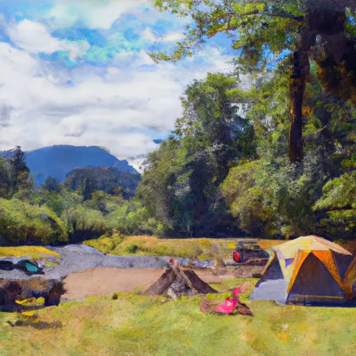 Beckler River Campground
|
||
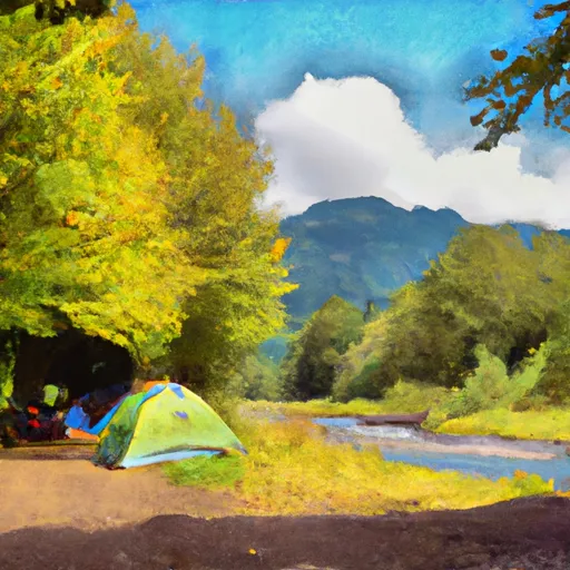 Beckler River
|
||
 Money Creek Campground
|
River Runs
-
 Alpine Lakes Wilderness Boundary To Confluence With West Fork Foss River
-
 Alpine Lakes Wilderness Boundary To Confluence With East Fork Foss River
-
 Headwaters In Sw 1/4 Of Sec 11, T24N, R13E To Alpine Lakes Wilderness Boundary
-
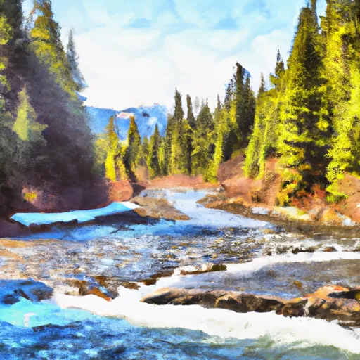 Outlet Of Delta Lake To Alpine Lakes Wilderness Boundary
-
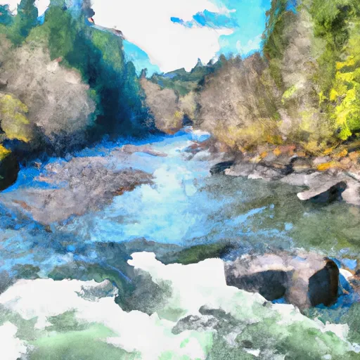 Confluence Of East And West Forks Of Foss River To Confluence With Tye River
-
 Headwaters In Se 1/4 Of Sec 14, T26N, R13E To Confluence With Foss River


