Summary
The ideal streamflow range for this run is between 500-2000 cfs, but it can be run at higher levels by experienced paddlers.
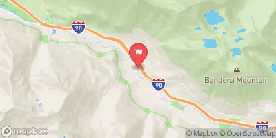
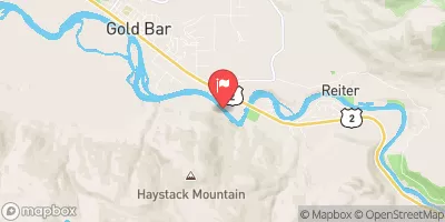
This segment of the river is rated class III-IV, and covers a distance of approximately 6 miles. The river features several challenging rapids, including "Rock Drop," "Waterslide," and "Log Jam," each requiring precise maneuvering through tight channels and around obstacles.
Regulations in the area require all paddlers to wear a Coast Guard-approved personal flotation device (PFD) and to carry a whistle. Additionally, the Forest Service has designated this section of the river as a Wild and Scenic River, which means that paddlers must follow Leave No Trace principles and pack out all trash.
In summary, the Whitewater River Run from the Outlet of Delta Lake to the Alpine Lakes Wilderness Boundary is an exciting and challenging adventure for experienced kayakers and rafters. Paddlers must be prepared for class III-IV rapids, and follow regulations to protect the natural environment.
°F
°F
mph
Wind
%
Humidity
15-Day Weather Outlook
River Run Details
| Last Updated | 2026-02-07 |
| River Levels | 28 cfs (1.23 ft) |
| Percent of Normal | 33% |
| Status | |
| Class Level | iii-iv |
| Elevation | ft |
| Streamflow Discharge | cfs |
| Gauge Height | ft |
| Reporting Streamgage | USGS 12147600 |
5-Day Hourly Forecast Detail
Nearby Streamflow Levels
Area Campgrounds
| Location | Reservations | Toilets |
|---|---|---|
 Miller River Group Campground
|
||
 Miller River Campground
|
||
 Skykomish Ballpark
|
||
 Beckler River Campground
|
||
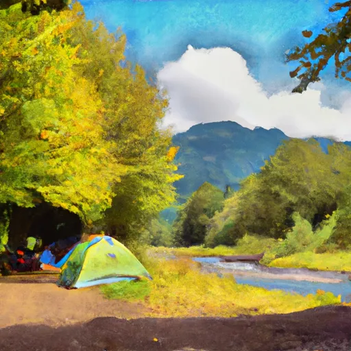 Beckler River
|
||
 Money Creek Campground
|
River Runs
-
 Outlet Of Delta Lake To Alpine Lakes Wilderness Boundary
-
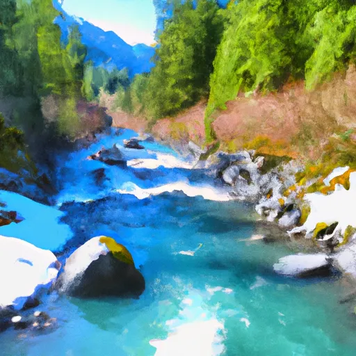 Alpine Lakes Wilderness Boundary To Confluence With East Fork Foss River
-
 Alpine Lakes Wilderness Boundary To Confluence With West Fork Foss River
-
 Headwaters In Sw 1/4 Of Sec 11, T24N, R13E To Alpine Lakes Wilderness Boundary
-
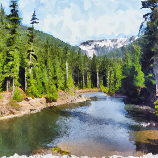 Lake Dorothy To Alpine Lakes Wilderness Boundary
-
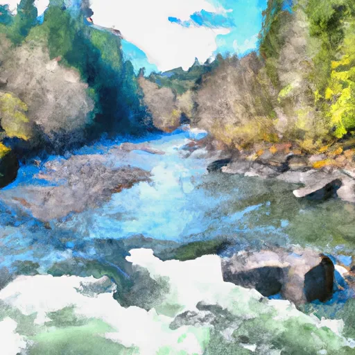 Confluence Of East And West Forks Of Foss River To Confluence With Tye River


