Summary
The ideal streamflow range for this section of the river is between 500-1500 cfs. At this level, the rapids are exciting and challenging, but not overly dangerous.
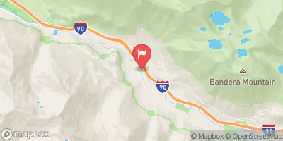
The class rating for this section of the river is Class III-IV, with some Class V rapids during high water. The segment mileage is approximately 8.5 miles long, with a put-in at the Alpine Lakes Wilderness Boundary and a take-out at the confluence with the East Fork Foss River.
Specific rapids and obstacles on this section of the river include the Entrance Rapid, the Waterfall Rapid, the Cocytus Rapid, and the Exit Rapid. These rapids offer a mix of technical challenges and big drops, making it an exciting run for experienced paddlers.
There are specific regulations in place for the Alpine Lakes Wilderness Boundary, including a permit system for overnight camping and a strict pack it in, pack it out policy for all trash and waste. Additionally, all paddlers must wear a life jacket and helmets are recommended for the more challenging rapids.
°F
°F
mph
Wind
%
Humidity
15-Day Weather Outlook
River Run Details
| Last Updated | 2026-02-07 |
| River Levels | 28 cfs (1.23 ft) |
| Percent of Normal | 33% |
| Status | |
| Class Level | iii-iv |
| Elevation | ft |
| Streamflow Discharge | cfs |
| Gauge Height | ft |
| Reporting Streamgage | USGS 12147600 |
5-Day Hourly Forecast Detail
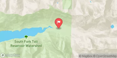
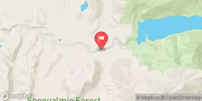
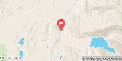
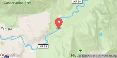
Nearby Streamflow Levels
Area Campgrounds
| Location | Reservations | Toilets |
|---|---|---|
 Skykomish Ballpark
|
||
 Miller River Group Campground
|
||
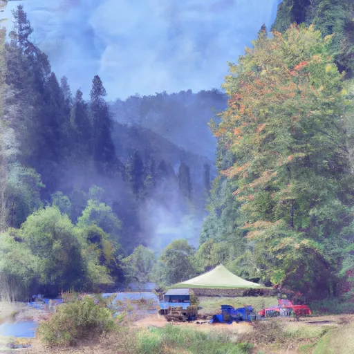 Miller River Campground
|
||
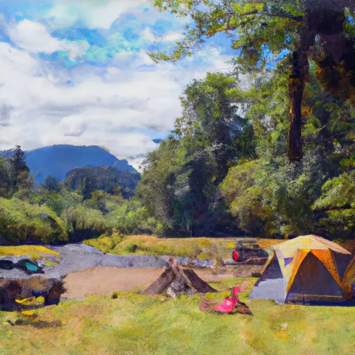 Beckler River Campground
|
||
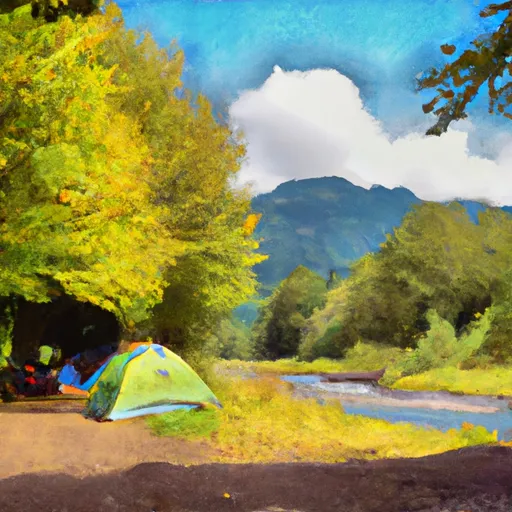 Beckler River
|
||
 Money Creek Campground
|
River Runs
-
 Alpine Lakes Wilderness Boundary To Confluence With West Fork Foss River
-
 Alpine Lakes Wilderness Boundary To Confluence With East Fork Foss River
-
 Headwaters In Sw 1/4 Of Sec 11, T24N, R13E To Alpine Lakes Wilderness Boundary
-
 Outlet Of Delta Lake To Alpine Lakes Wilderness Boundary
-
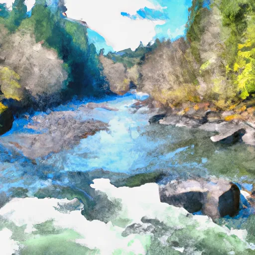 Confluence Of East And West Forks Of Foss River To Confluence With Tye River
-
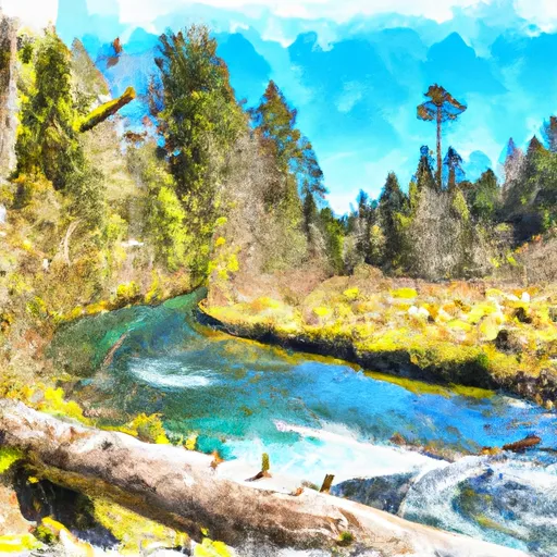 Headwaters In Se 1/4 Of Sec 14, T26N, R13E To Confluence With Foss River


