Headwaters In Nw1/4 Of Sec 32, T34n, R12n To Glacier Peak Wilderness Boundary Paddle Report
Last Updated: May 11, 2026
°F
°F
mph
Wind
%
Humidity
Get the latest Paddle Report, Streamflow Levels, and Weather Forecast for Headwaters In Nw1/4 Of Sec 32, T34n, R12n To Glacier Peak Wilderness Boundary in Washington. Washington Streamflow Levels and Weather Forecast
Summary
Regional Streamflow Levels
 Salix Creek At S Cascade Gl Near Marblemount
|
0cfs |
 Cascade River At Marblemount
|
1330cfs |
 Skagit River At Marblemount
|
5010cfs |
 Sauk River Near Sauk
|
4030cfs |
 Bacon Creek Below Oakes Creek Near Marblemount
|
586cfs |
 Sauk River At Darrington
|
5220cfs |
15-Day Long Term Forecast
River Run Details
| Last Updated | |
| River Levels | 0 cfs (0.08 ft) |
| Percent of Normal | +100% |
| Status | |
| Class Level | None |
| Elevation | ft |
| Streamflow Discharge | cfs |
| Gauge Height | ft |
| Reporting Streamgage | USGS 12181200 |
5-Day Hourly Forecast Detail
Area Campgrounds
| Location | Reservations | Toilets |
|---|---|---|
 Mineral Park Campground
|
||
 Mineral Park
|
||
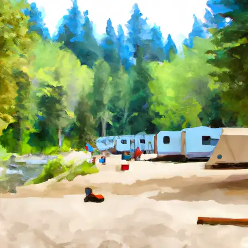 Buck Creek
|
||
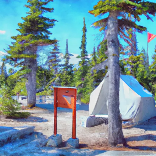 Suiattle Guard Station
|
||
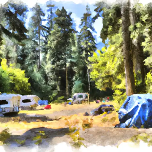 Marble Creek
|
||
 Marble Creek Campground
|
River Runs
-
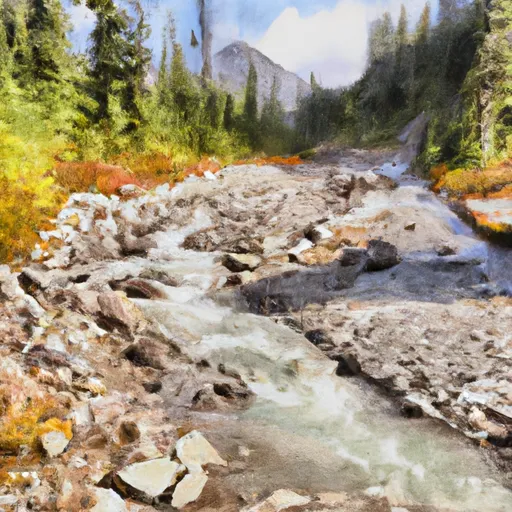 Headwaters In Nw1/4 Of Sec 32, T34N, R12N To Glacier Peak Wilderness Boundary
-
 Glacier Peak Wilderness Boundary To Confluence With Skagit River
-
 Headwaters In Ne1/4 Of Sec 4, T33N, R12E To Glacier Peak Wilderness Boundary
-
 Glacier Peak Wilderness Boundary To Confluence With Suiattle River
-
 Headwaters In Nw1/4 Of Sec 23, T33N, R13E To Glacier Peak Wilderness Boundary


 Wilderness Noisy-Diobsud
 Rockport State Park
 Nels Bruseth Memorial Park
 Continue with Snoflo Premium