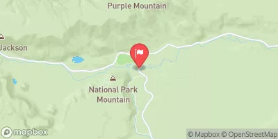
Summary
The ideal streamflow range for this river is between 800 and 1500 cubic feet per second (cfs) during the spring and early summer months. This ensures that the rapids are challenging but not too dangerous. The river is rated as a Class III to Class IV, depending on the segment.
The run begins at the headwaters in the Washburn Range and ends above Blanding Hill, covering a total of 18 miles. The Virginia Cascades Road Access is the entry and exit point for the run, making it easily accessible for visitors.
Some of the specific rapids and obstacles on the run include “The Notch,” a narrow chute that requires precise maneuvering, and “The Slide,” a steep drop that requires skilled navigation. The scenery along the run is breathtaking, with views of the surrounding mountains and forests.
There are specific regulations for the area, including a permit requirement for commercial outfitters and a limit on the number of people allowed on the river at one time. Visitors should also be aware of potential hazards such as fallen trees and strong currents.
Overall, the Whitewater River Run is an exciting and challenging adventure for experienced kayakers and rafters. It is important to check current streamflow conditions and adhere to all regulations to ensure a safe and enjoyable trip.
°F
°F
mph
Wind
%
Humidity
15-Day Weather Outlook
River Run Details
| Last Updated | 2026-02-07 |
| River Levels | 5 cfs (1.56 ft) |
| Percent of Normal | 68% |
| Status | |
| Class Level | iii-iv |
| Elevation | ft |
| Run Length | 9.0 Mi |
| Streamflow Discharge | cfs |
| Gauge Height | ft |
| Reporting Streamgage | USGS 06036940 |
5-Day Hourly Forecast Detail
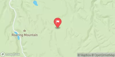
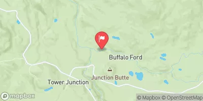
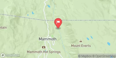
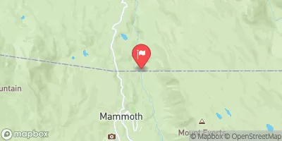
Nearby Streamflow Levels
Area Campgrounds
| Location | Reservations | Toilets |
|---|---|---|
 Cascade Lake North
|
||
 4E2
4E2
|
||
 Cascade Lake West
|
||
 Grebe Lake East
|
||
 Observation Peak
|
||
 Grebe Lake North
|
River Runs
-
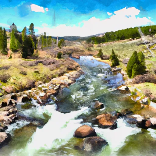 The Headwaters, In The Washburn Range To Ends Above Blanding Hill And The Road Access To Virginia Cascades
-
 Lower Falls To Ends 1/4 Mile Upstream From Northeast Enternace Road Bridge In The Area Of Tower Falls/ Roosevelt
-
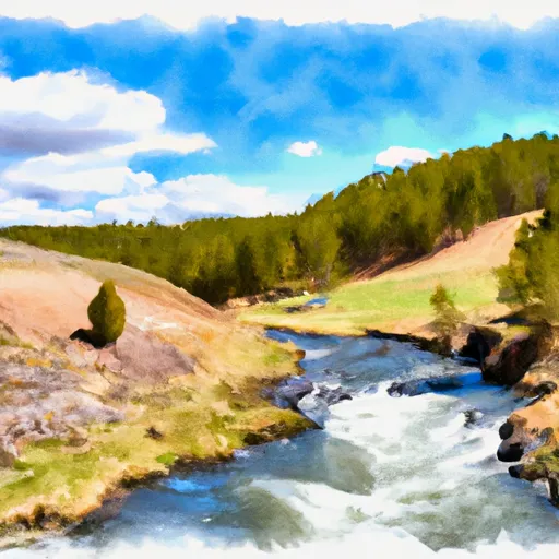 Begins Above Blanding Hill And The Road Access To Virginia Cascades To The Confluence With Firehole River


