2026-02-17T17:00:00-07:00
* WHAT...Southwest winds 35 to 45 mph with gusts up to 80 mph expected. * WHERE...Wind River Mountains East and Absaroka Mountains. * WHEN...Until 5 PM MST Tuesday. * IMPACTS...Travel will be difficult, especially for high profile vehicles. Sudden strong winds up to 80 mph are possible. * ADDITIONAL DETAILS...Snow will be falling, with total accumulations 3 to 9 inches across the western and southern Absaroka Mountains and accumulations 10 to 18 inches for the higher elevations of the Wind River Mountains.
Summary
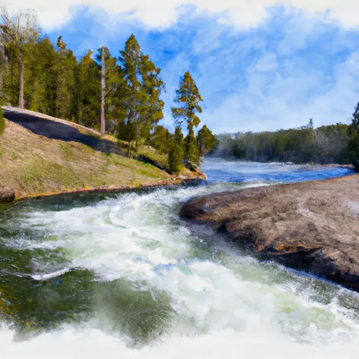
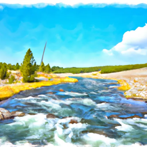
The ideal streamflow range for this run is between 200-1000 cfs, with higher flows providing more challenging rapids. The segment mileage for this run is around 12 miles, with the class rating ranging from Class II to Class IV, depending on the section of the river.
Some notable rapids and obstacles on this run include "Four Mile Rapid," "Northwest Passage," and "Big Drop Rapid," which all offer exhilarating drops and technical maneuvers. This run also features stunning views of the surrounding wilderness, with opportunities for wildlife sightings and photography.
There are specific regulations to be aware of when planning a trip to the Whitewater River Run. The area is located within Yellowstone National Park, and therefore, visitors must obtain a backcountry permit before launching their boats. Additionally, visitors must follow Leave No Trace principles and pack out all waste. It's also important to note that motorized boats are not permitted on this section of the river.
Overall, the Whitewater River Run is a must-do for experienced kayakers and rafters seeking a thrilling adventure in a beautiful wilderness setting. However, visitors should always check the current streamflow conditions and be prepared for changing weather and river conditions.
°F
°F
mph
Wind
%
Humidity
15-Day Weather Outlook
River Run Details
| Last Updated | 2022-10-06 |
| River Levels | 176 cfs (3.54 ft) |
| Percent of Normal | 65% |
| Status | |
| Class Level | ii-iv |
| Elevation | ft |
| Streamflow Discharge | cfs |
| Gauge Height | ft |
| Reporting Streamgage | USGS 06280300 |
5-Day Hourly Forecast Detail
Nearby Streamflow Levels
Area Campgrounds
| Location | Reservations | Toilets |
|---|---|---|
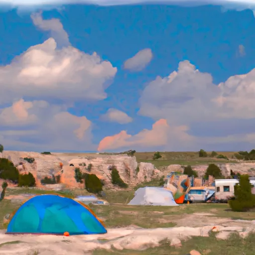 South Thorofare
|
||
 North Thorofare
|
||
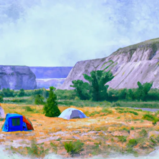 East Confluence
|
||
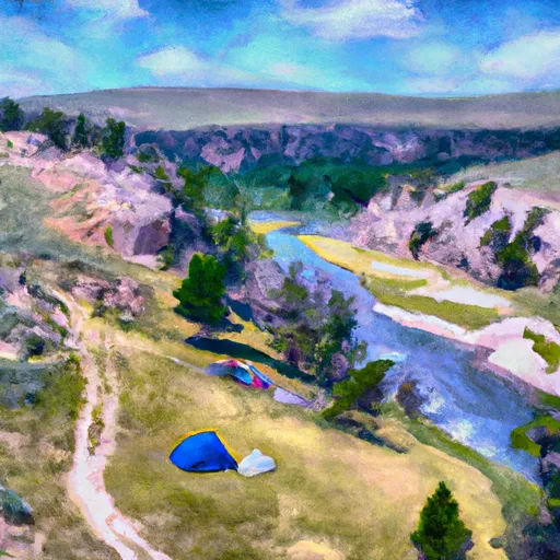 South Yell River
|
||
 Three Mile Bend
|
||
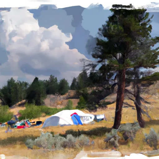 Yellowstone Meadows
|


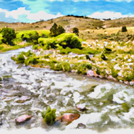 Open Creek Source To Confluence With Thorofare
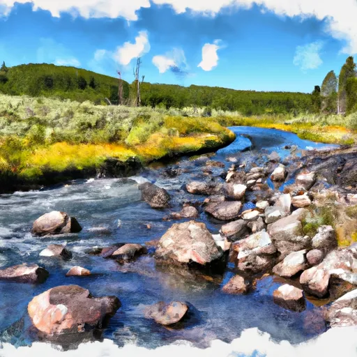 Thorofare Creek Source To Yellowstone Np Boundary
 Southeastern Boundary Of The Park To Yellowstone Lake Inlet
 Confluence Of North/South Forks To Yellowstone Np Boundary