Summary
The ideal streamflow range for this run is between 400-800 cfs, which can be found during the spring runoff or after heavy rain. The run is rated as a class III-IV, meaning it is suitable for intermediate to advanced paddlers.
The segment mileage for this run is approximately 9 miles, and it is known for its technical rapids and challenging obstacles, including S-Turn, Corkscrew, and Big Kahuna. Paddlers must be skilled in maneuvering through narrow channels and tight turns.
The area is regulated by the Bureau of Land Management and visitors are required to obtain a permit before launching. Additionally, visitors are required to follow Leave No Trace principles and pack out all trash. Camping is allowed in designated areas only.
In conclusion, the Whitewater River Run from Source to Kinney Creek Confluence offers challenging rapids and technical obstacles for skilled paddlers, with an ideal streamflow range of 400-800 cfs. Visitors must obtain a permit and follow regulations to protect the area and preserve its natural beauty.
°F
°F
mph
Wind
%
Humidity
15-Day Weather Outlook
River Run Details
| Last Updated | 2026-01-20 |
| River Levels | 43 cfs (2.25 ft) |
| Percent of Normal | 92% |
| Status | |
| Class Level | iii-iv |
| Elevation | ft |
| Streamflow Discharge | cfs |
| Gauge Height | ft |
| Reporting Streamgage | USGS 13025500 |
5-Day Hourly Forecast Detail
Nearby Streamflow Levels
 Crow C Nr Fairview Wyo
|
42cfs |
 Smiths Fork Near Border
|
85cfs |
 Bear River At Border
|
160cfs |
 Hams Fork Below Pole Creek
|
6cfs |
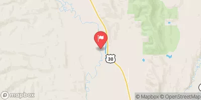 Bear River Below Smiths Fork
|
271cfs |
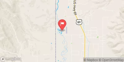 Salt River Ab Reservoir Nr Etna Wy
|
429cfs |
Area Campgrounds
| Location | Reservations | Toilets |
|---|---|---|
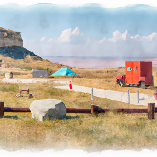 Cazier Guard Station
|
||
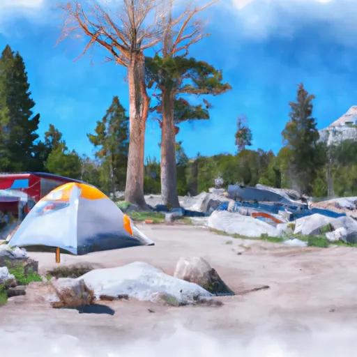 Middle Piney Lake Campground
|
||
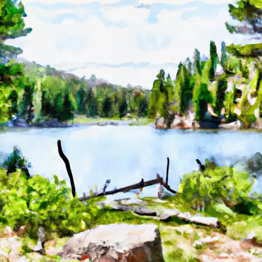 Middle Piney Lake
|
||
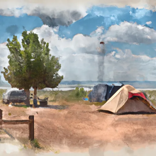 LaBarge Guard Station
|
||
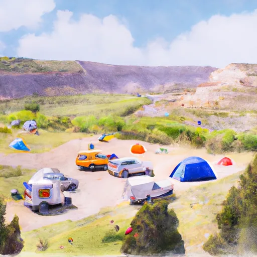 Sacajawea
|
||
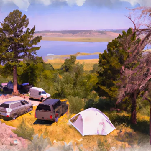 Cottonwood Lake Group Campground
|


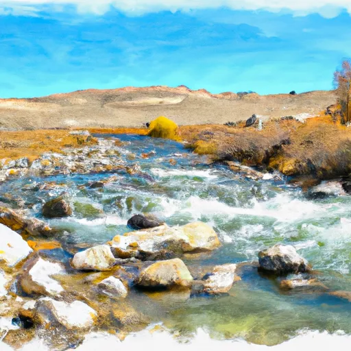 Source To Kinney Creek Confluence
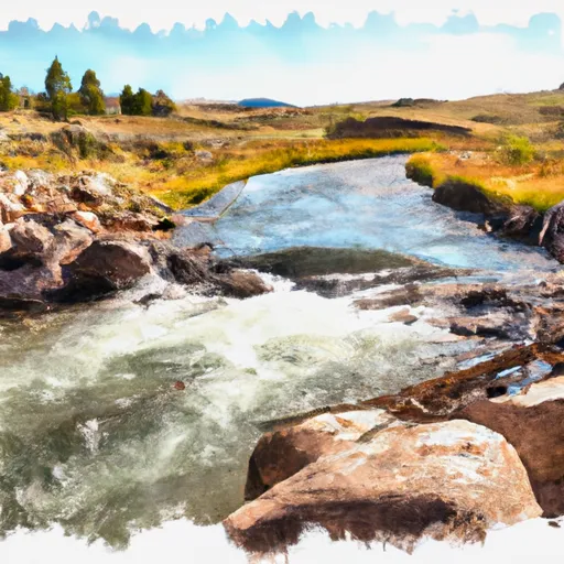 Source To Trailhead
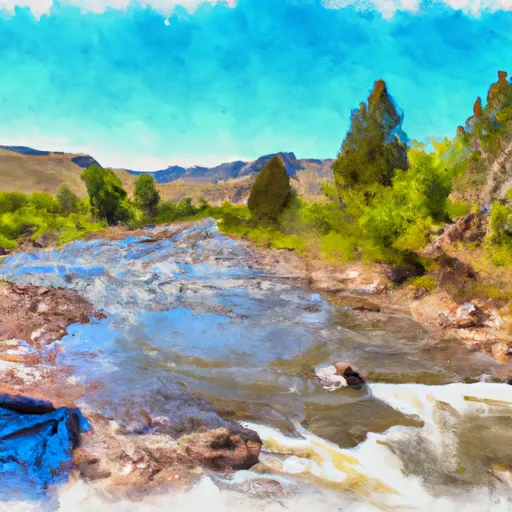 Source To Salt River Trailhead
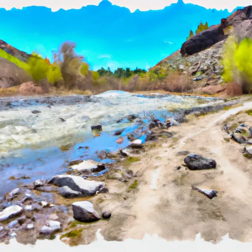 Salt River Trailhead To Nf Boundary