Summary
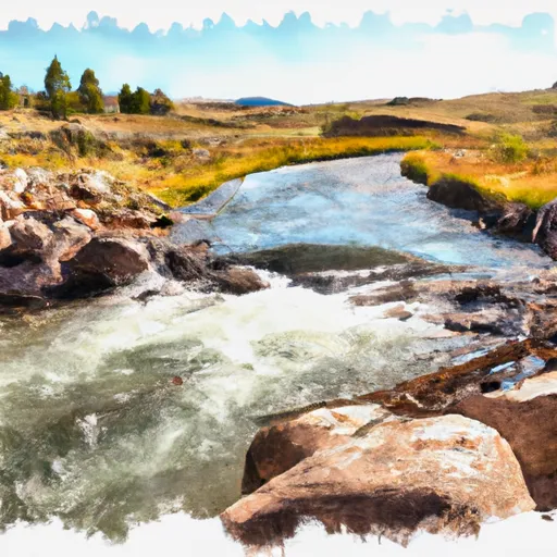
The ideal streamflow range for this river run is between 2,000-4,000 cubic feet per second (cfs) which generally occurs in late May to early July. The class rating for this run is III-IV, which means it is suitable for intermediate to advanced paddlers who have experience navigating rapids with obstacles. The segment mileage of this river run is approximately 10 miles, starting at the Source and ending at the Salt River Trailhead.
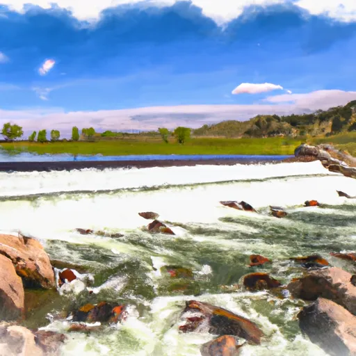
The Whitewater River run features several exciting rapids and obstacles, including the Class IV Corkscrew and Box Canyon, which require expert paddling skills and experience. Paddlers should also be prepared for the Class III rapids like the Big Kahuna, which features large waves and boulders. It is important to note that the water levels of this river can change quickly due to changing weather patterns, so it's important to be aware of the current conditions before setting out on this adventure.
Specific regulations to this area include the requirement of a permit for all commercial river trips and a limit on the number of people allowed per group. Additionally, all boaters must wear a life jacket at all times and must adhere to the Leave No Trace principles to preserve the natural beauty of the area. Overall, the Whitewater River run offers an exhilarating experience for experienced paddlers looking for a challenge in a beautiful natural setting.
°F
°F
mph
Wind
%
Humidity
15-Day Weather Outlook
River Run Details
| Last Updated | 2026-01-20 |
| River Levels | 43 cfs (2.25 ft) |
| Percent of Normal | 92% |
| Status | |
| Class Level | iv-iii |
| Elevation | ft |
| Streamflow Discharge | cfs |
| Gauge Height | ft |
| Reporting Streamgage | USGS 13025500 |
5-Day Hourly Forecast Detail
Nearby Streamflow Levels
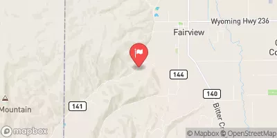 Crow C Nr Fairview Wyo
|
42cfs |
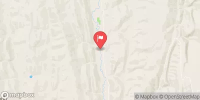 Smiths Fork Near Border
|
85cfs |
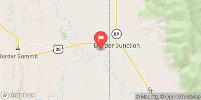 Bear River At Border
|
160cfs |
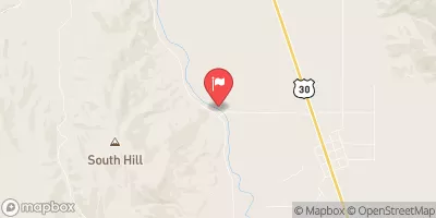 Bear River At Pescadero
|
73cfs |
 Bear River Below Smiths Fork
|
271cfs |
 Hams Fork Below Pole Creek
|
6cfs |
Area Campgrounds
| Location | Reservations | Toilets |
|---|---|---|
 Cottonwood Lake Campground
|
||
 Cottonwood Lake Group Campground
|
||
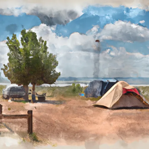 LaBarge Guard Station
|
||
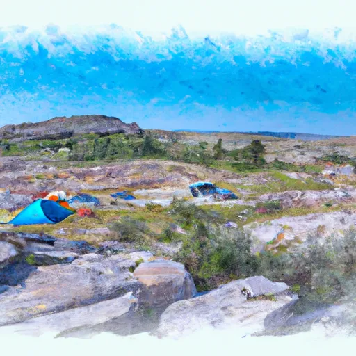 Allred Flat
|
||
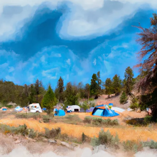 Allred Flat Campground
|
||
 Hobble Creek
|


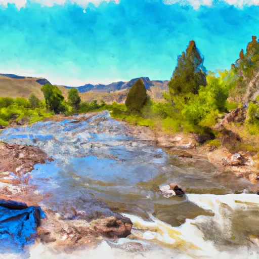 Source To Salt River Trailhead
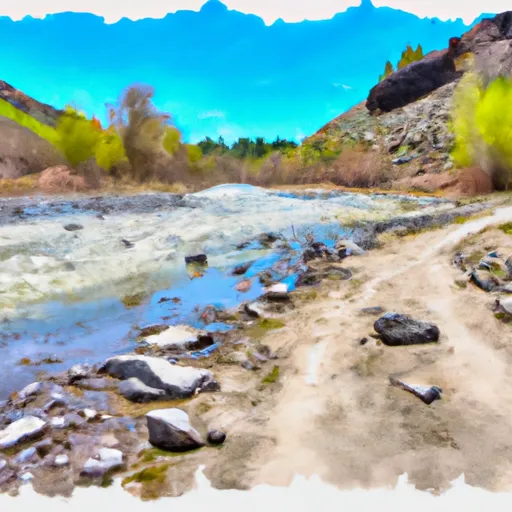 Salt River Trailhead To Nf Boundary
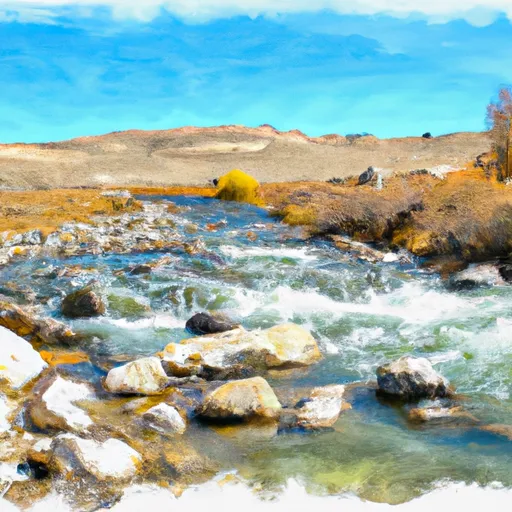 Source To Kinney Creek Confluence
 Source To Trailhead
 Periodic Spring To Upper Dam