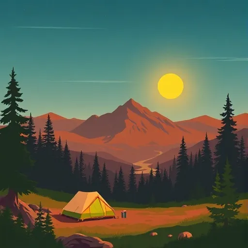
Wilderness Sespe
Community Reviews
Been here? Share the conditions.
Reviews, ratings & photos are added in the free Snoflo iOS app — rate a spot, tag the conditions, and your visit is verified by location. Add or manage your reviews from the app.

Wilderness Sespe
Reasons to Visit:
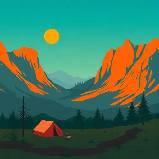
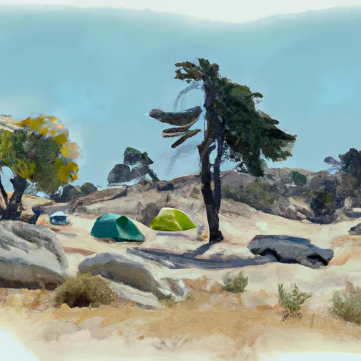
1. Natural Beauty: Wilderness Sespe boasts breathtaking scenery, including rugged mountains, deep canyons, lush valleys, and the Sespe Wilderness River. Its untouched landscapes provide a sanctuary for nature enthusiasts and outdoor adventurers alike.
2. Hiking and Backpacking: The area offers an extensive trail system, making it an ideal destination for hiking and backpacking. Visitors can explore trails that wind through majestic forests, cross serene meadows, and lead to stunning viewpoints, including the famous Piedra Blanca Formation.
3. Wilderness Experience: Wilderness Sespe is one of the few remaining wild and undeveloped areas in Southern California. It offers a chance to disconnect from the modern world and immerse yourself in the tranquility of nature.
4. Wildlife Watching: The region is home to a rich variety of wildlife, including black bears, mountain lions, deer, bobcats, and numerous bird species. Wildlife enthusiasts will find ample opportunities to observe and appreciate these creatures in their natural habitat.
Points of Interest:
1. Sespe Hot Springs: Located within the Sespe Wilderness, these natural hot springs provide a relaxing and rejuvenating experience for visitors. The springs can be accessed via a challenging hike and offer a serene oasis amidst the wilderness.
2. Sespe Creek: The Sespe Wilderness River, known as Sespe Creek, is the last free-flowing river in Southern California. It offers opportunities for swimming, fishing, and picnicking along its scenic banks.
3. Willett Hot Springs: Another popular hot spring in the area, Willett Hot Springs offers a unique bathing experience. The springs are situated beside a picturesque creek and surrounded by beautiful oaks.
4. Fishbowls: Located along the Sespe Creek, the Fishbowls are natural pools formed by the creek's flowing water. These crystal-clear pools provide a refreshing spot for swimming and offer respite on hot summer days.
Interesting Facts:
1. Wilderness Sespe covers approximately 219,700 acres within the Los Padres National Forest.
2. The area is known for its remarkable biodiversity, with over 470 plant species recorded, including several rare and endemic plants.
3. The Sespe Wilderness River is designated as a National Wild and Scenic River due to its exceptional natural and cultural values.
4. The region has a rich Native American history, with evidence of human habitation dating back over 10,000 years.
Best Time to Visit:
The best time to visit Wilderness Sespe is in the spring (April to June) and fall (September to November) when the weather is pleasant, and wildflowers are in bloom. Summers can be hot, with temperatures exceeding 100°F (37°C), while winters can be cold, with temperatures often dropping below freezing. It is essential to plan your visit accordingly and check weather conditions before embarking on any outdoor activities.
Accuracy Disclaimer:
Please note that while efforts have been made to provide accurate and up-to-date information, it is always advisable to cross-verify the details across multiple independent sources before undertaking any travel plans.
Trails in Wilderness Sespe
Named trails whose route falls inside the park.
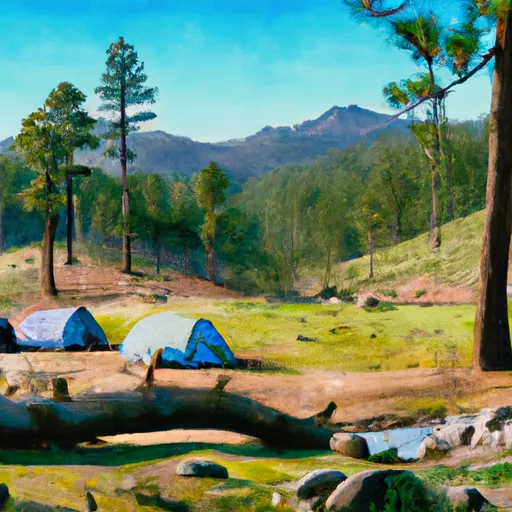
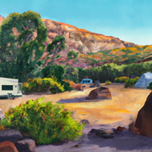
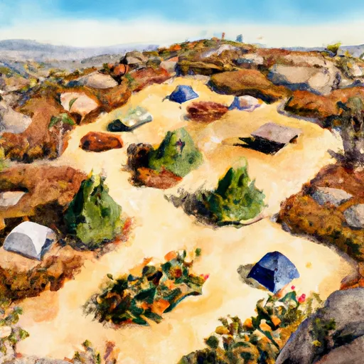
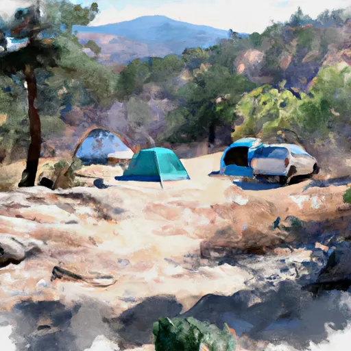
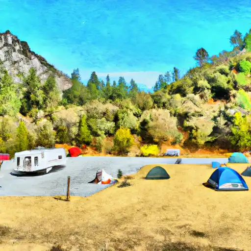
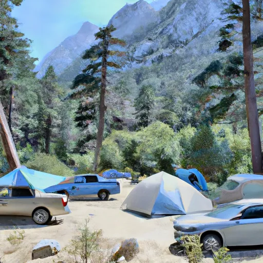
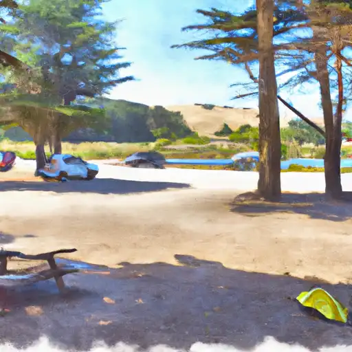
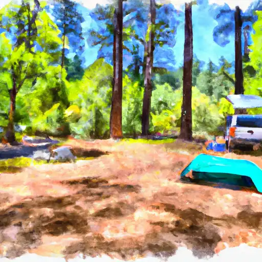
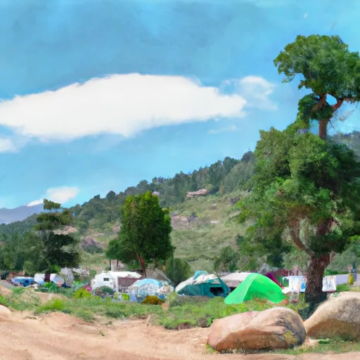
Camping in Wilderness Sespe
Campgrounds inside the park, with today's conditions score.


Plan your visit down to the hour
Same weather feed Snoflo's iOS app uses -- updated continuously from NOAA / yr.no.
Next 5 days, hour by hour
Temperature line with weather symbols on top, snow + rain accumulation as columns, humidity as a dotted line.
5-day forecast table
Every 3 hours, broken out across temperature, snow, rain, humidity, and wind.
| Time | Condition | Temp (°F) | Snow (in) | Rain (in) | Humidity (%) | Wind (mps) | Wind dir |
|---|---|---|---|---|---|---|---|
| Loading detailed forecast… | |||||||
15-day temperature & precipitation
Daily temperatures, snow, and rain projected over the next two weeks.
Responsible recreation & Leave No Trace
- Know before you go
- Check the operator's site for hours, permit requirements, seasonal closures, and fire restrictions before heading out.
- Stay on trail
- Stick to marked paths to protect vegetation, prevent erosion, and avoid disturbing wildlife habitat.
- Respect wildlife
- Observe from a distance, never feed wildlife, and store food securely if camping is permitted on-site.
- Pack it in, pack it out
- Carry out all trash, food scraps, and gear. Many parks have limited or no trash service.
- Leave what you find
- Don't take rocks, plants, or artifacts. They make the park what it is for the next visitor.
Set push alerts in the Snoflo app
Save Wilderness Sespe as a favorite, set a custom threshold (precipitation, freezing temperatures, fire-restriction days), and the iOS app will push the moment conditions cross.
About Wilderness Sespe
What can I do at Wilderness Sespe?
Most Snoflo-tracked parks support hiking, picnicking, and wildlife viewing. Check the operator's site for activity-specific rules (camping, fishing, paddling, hunting).
How fresh is the weather data?
The hourly forecast updates throughout the day from NOAA / yr.no. Streamflow comes live from USGS streamgauges.
When is the best time to visit?
Use the 15-day temperature & precipitation outlook on this page to plan -- pick a window with comfortable temperatures and low precipitation.
How do I get to Wilderness Sespe?
Tap Directions in the hero above to open driving directions in Google Maps, or Open in map to center the Snoflo interactive map on the park.
Can I get alerts when conditions change?
Yes -- alerts are managed in the Snoflo iOS app. Favorite this park, set a threshold (temperature, precipitation), and you'll get a push the moment it crosses.
Park & land designation reference
A quick legend for the federal and state land categories Snoflo tracks. Each designation comes with different rules around access, recreation, and resource extraction.
- National Park
- Large protected natural areas managed by the federal government to preserve significant landscapes, ecosystems, and cultural resources; recreation is allowed but conservation is the priority.
- State Park
- Public natural or recreational areas managed by a state government, typically smaller than national parks and focused on regional natural features, recreation, and education.
- Local Park
- Community-level parks managed by cities or counties, emphasizing recreation, playgrounds, sports, and green space close to populated areas.
- Wilderness Area
- The highest level of land protection in the U.S.; designated areas where nature is left essentially untouched, with no roads, structures, or motorized motorized access permitted.
- National Recreation Area
- Areas set aside primarily for outdoor recreation (boating, hiking, fishing, often around reservoirs, rivers, or scenic landscapes); may allow more development.
- National Conservation Area (BLM)
- BLM-managed areas with special ecological, cultural, or scientific value; more protection than typical BLM land but less strict than Wilderness Areas.
- State Forest
- State-managed forests focused on habitat, watershed, recreation, and sustainable timber harvest.
- Bureau of Land Management (BLM) Land
- Vast federal lands managed for mixed use -- recreation, grazing, mining, conservation -- with fewer restrictions than national parks or forests.