Difficult Campground
Community Reviews
Been here? Share the conditions.
Reviews, ratings & photos are added in the free Snoflo iOS app — rate a spot, tag the conditions, and your visit is verified by location. Add or manage your reviews from the app.
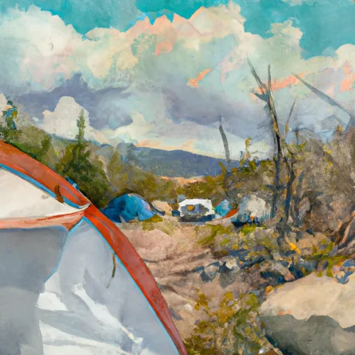
Difficult
Reservations are not accepted at the Difficult camping area, making it a first-come, first-served campground. This means that campers need to arrive early to secure a spot, especially during peak seasons. It is advisable to check with multiple independent sources for the most up-to-date information on availability.
The best time of year to visit the Difficult camping area is during the summer months, typically from June to September, when the weather is pleasant and the area is accessible. However, it is crucial to be aware of the specific items of interest and things to be careful for in this camping area. The Difficult campground is known for its challenging hiking trails and steep terrain, so hikers should be prepared with appropriate gear and be cautious while exploring the area. Additionally, wildlife such as bears and mountain lions may be present, so it is crucial to follow proper food storage protocols and maintain a safe distance from these animals.
What's on-site at Difficult
Key facilities Snoflo tracks for this campground. Confirm with the operator before booking -- amenities can change seasonally.
Plan your trip down to the hour
Same weather feed Snoflo's iOS app uses -- updated continuously from NOAA / yr.no.
Next 5 days, hour by hour
Temperature line with weather symbols on top, snow + rain accumulation as columns, humidity as a dotted line.
5-day forecast table
Every 3 hours, broken out across temperature, snow, rain, humidity, and wind. Each cell is colour-coded relative to the column min/max so trends jump out at a glance.
| Time | Condition | Temp (°F) | Snow (in) | Rain (in) | Humidity (%) | Wind (mps) | Wind dir |
|---|---|---|---|---|---|---|---|
| Loading detailed forecast… | |||||||
15-day temperature & precipitation
Daily temperatures, snow, and rain projected over the next two weeks. Hover any point for the full breakdown.
Other campgrounds in the area
Snoflo-tracked campsites within driving distance of Difficult, with reservations status.
| Campground | Reservations | Toilets | View |
|---|---|---|---|
| Difficult Campground And Group Campground | ✓ | ✗ | → |
| Weller Campground | ✗ | ✗ | → |
| Weller | ✗ | ✓ | → |
| Lincoln Gulch Campground | ✗ | ✗ | → |
| Lincoln Creek Dispersed Campground | ✓ | ✗ | → |
Nearby streamflow
USGS streamgauges within reach of Difficult -- pulled live from the National Water Information System.
| Streamgauge | Discharge | View |
|---|---|---|
| Roaring Fork River Ab Difficult C Nr Aspen | 14 cfs | → |
| Roaring Fork River Near Aspen | 15 cfs | → |
| Hunter Creek Near Aspen | 8 cfs | → |
| Roaring Fork River Ab Lost Man C | 6 cfs | → |
| Lincoln Creek Bl Grizzly Reservoir | 14 cfs | → |
| Twin-Lakes Tunnel At E Portl | 8 cfs | → |
Nearby snow depths
NRCS SNOTEL stations within reach of Difficult -- relevant when planning a shoulder-season or alpine trip.
| SNOTEL station | Snowpack | 24h Snowfall | View |
|---|---|---|---|
| Aspen Ski Area Gents Top | 0.0 in | 0.0 in | → |
| Aspen Highlands Ski Area Cld 9 | 2.4 in | 0.0 in | → |
| Castle Creek Near Aspen | 3.2 in | 0.0 in | → |
| Snowmass Ski Area Timberline | 0.0 in | 0.0 in | → |
| Independence Pass | 0.0 in | 0.0 in | → |
| Independence Pass | 0.0 in | 0.0 in | → |
Plan a longer trip
The closest parks, lakes, boat launches, and paddle runs so a camping night can grow into a full weekend.
Parks
- Snyder Park
- Mollie Gibson Park
- Herron Park
- Newbury Park
- Jenny Adair Park
- Wilderness Hunter-Fryingpan
Boat launches
- Wingo Boat Ramp
- Boat Ramp Road Gunnison County
- Red Rooster Boating Site
- Homestake Reservoir Boat Ramp Day Use Area
- Sylvan Lake State Park
- Turquoise Lake Trail Lake County
Fishing spots
- Lost Man Reservoir
- Grizzly Reservoir
- Sayer's Gulch Trailhead
- Ruedi Reservoir
- Emerald Lake (Crested Butte)
- Spring Creek Reservoir
Camping essentials & Leave No Trace
- Pack it in, pack it out
- Take all trash, food scraps, and gear back with you to keep campsites clean and protect wildlife.
- Respect wildlife
- Observe animals from a distance, store food securely, and never feed wildlife to maintain natural behavior and safety.
- Know before you go
- Check weather, fire restrictions, trail conditions, and permit requirements to ensure a safe and well-planned trip.
- Minimize campfire impact
- Use established fire rings, keep fires small, fully extinguish them, or opt for a camp stove when fires are restricted.
- Leave what you find
- Preserve natural and cultural features by avoiding removal of plants, rocks, artifacts, or other elements of the environment.
Set push alerts in the Snoflo app
Save Difficult as a favorite, set a custom threshold (precipitation, snowpack, freezing temperatures), and the iOS app will push the moment conditions cross.
About Difficult
Can I make reservations at Difficult?
Yes -- this campground accepts reservations. Snoflo recommends booking early for peak season; check the operator (Recreation.gov / state park system / private operator) for the booking window and cancellation policy.
How fresh is the weather data on this page?
The hourly forecast updates throughout the day from the NOAA / yr.no public feeds. Streamflow data is pulled live from USGS streamgauges and snowpack from the NRCS SNOTEL network.
What's the best time of year to visit?
Use the 15-day temperature & precipitation outlook on this page to plan -- pick a window with comfortable temperatures and low precipitation. For longer trips, the 5-day hourly meteogram shows snow + rain accumulation hour-by-hour.
How do I get to Difficult?
Tap Directions in the hero above to open driving directions in Google Maps, or Open in map to center the Snoflo interactive map on the campground.
Can I get alerts when conditions change?
Yes -- alerts are managed through the Snoflo iOS app. Favorite this campground, set a threshold (temperature, snowpack, precipitation), and you'll get a push the moment it crosses.
Other campgrounds near here
Snoflo-tracked campgrounds within driving distance of Difficult.