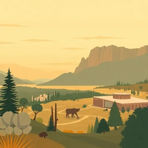
Uinta National Forest
Community Reviews
Been here? Share the conditions.
Reviews, ratings & photos are added in the free Snoflo iOS app — rate a spot, tag the conditions, and your visit is verified by location. Add or manage your reviews from the app.
Uinta National Forest
Reasons to Visit:
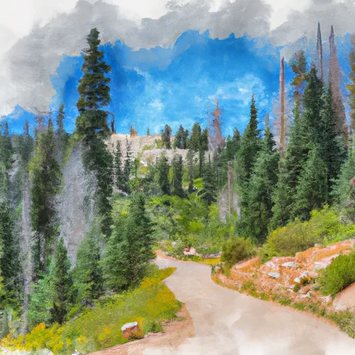
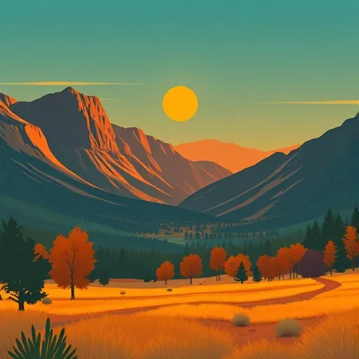
1. Scenic Beauty: Uinta National Forest boasts awe-inspiring landscapes, including picturesque alpine meadows, towering mountains, pristine lakes, and cascading waterfalls.
2. Outdoor Recreation: The forest provides ample opportunities for outdoor enthusiasts, such as hiking, camping, fishing, boating, wildlife viewing, horseback riding, mountain biking, and winter sports like skiing and snowboarding.
3. Solitude and Tranquility: Uinta National Forest covers nearly one million acres, offering plenty of space to explore and find solitude in nature.
4. Biodiversity: The forest is home to diverse ecosystems, providing habitat to a range of wildlife species, including elk, moose, black bear, mountain lion, and a variety of birds.
Points of Interest:
1. Mirror Lake Scenic Byway: This breathtaking highway winds through the forest, offering stunning views of the high Uinta Mountains and access to numerous campgrounds, picnic areas, and trailheads.
2. High Uintas Wilderness: This pristine wilderness area spans over 450,000 acres and contains Utah's highest peaks, picturesque lakes, and vibrant wildflowers.
3. Provo River: Renowned for its excellent fishing opportunities, the Provo River is a popular spot for fly fishing, boasting abundant trout populations.
4. Snowbasin Resort: This world-class ski resort, located within Uinta National Forest, offers thrilling winter sports adventures along with scenic chairlift rides during the summer.
Interesting Facts:
1. Uinta National Forest is home to Kings Peak, the highest point in Utah, reaching an elevation of 13,528 feet.
2. The forest encompasses parts of six counties: Summit, Duchesne, Wasatch, Uintah, Utah, and Carbon.
3. Uinta National Forest contains over 2,000 miles of trails, catering to all skill levels, from easy family strolls to challenging multi-day hikes.
4. More than 1.5 million people visit Uinta National Forest annually, making it a popular destination for locals and tourists alike.
Best Time to Visit:
The best time to visit Uinta National Forest varies depending on your interests. Summer (June to September) is ideal for hiking, camping, and exploring the alpine meadows. Fall (September to November) offers stunning foliage colors, making it a great time for photography and scenic drives. Winter (December to March) is perfect for snow sports enthusiasts, as the forest receives abundant snowfall. Spring (April to May) brings wildflowers and is ideal for wildlife viewing and fishing.
Please note that it's always advisable to check up-to-date information from official sources and visitor centers before planning a trip to Uinta National Forest, as conditions and accessibility may vary.
Streamflow in Uinta National Forest
Live USGS discharge at streamgauges inside the park boundary.
Snowpack in Uinta National Forest
Current snow depth at SNOTEL stations inside the park boundary.
Trails in Uinta National Forest
Named trails whose route falls inside the park.
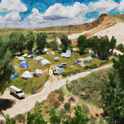
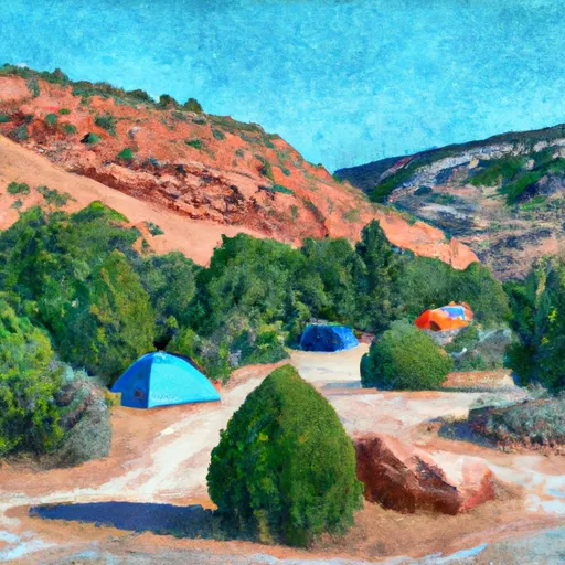
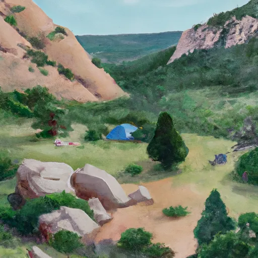
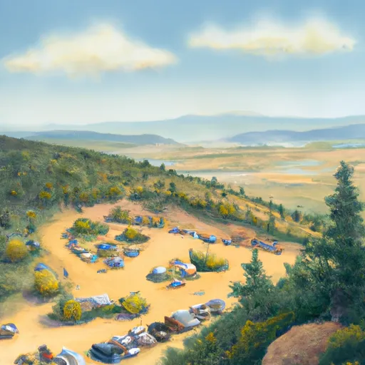
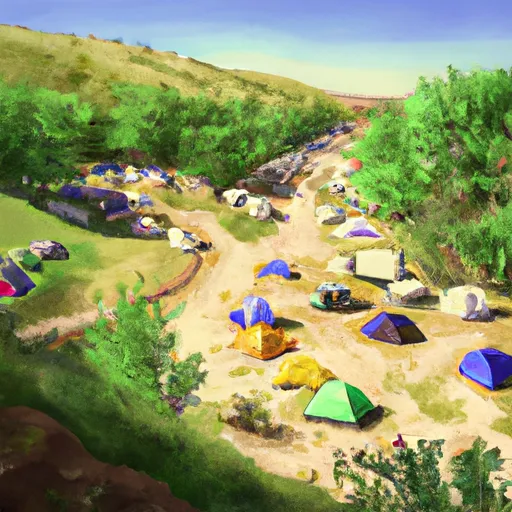
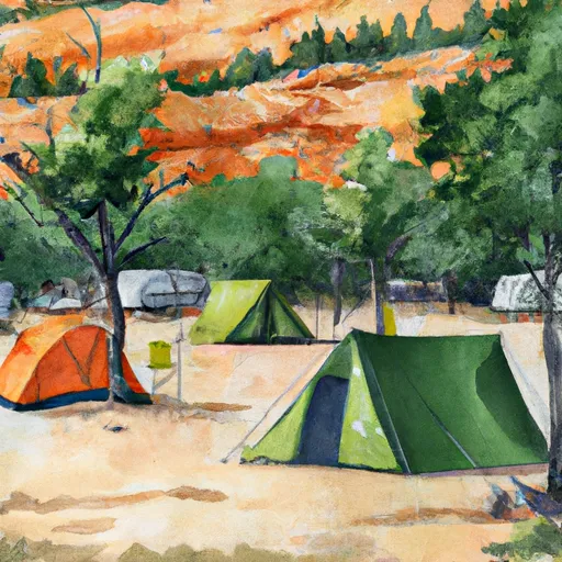
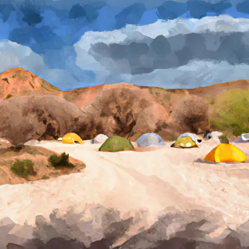
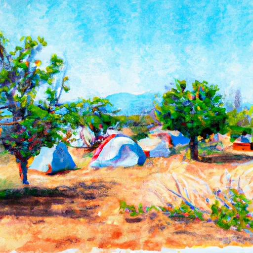
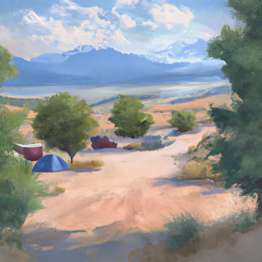
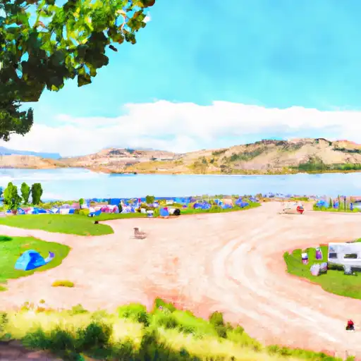
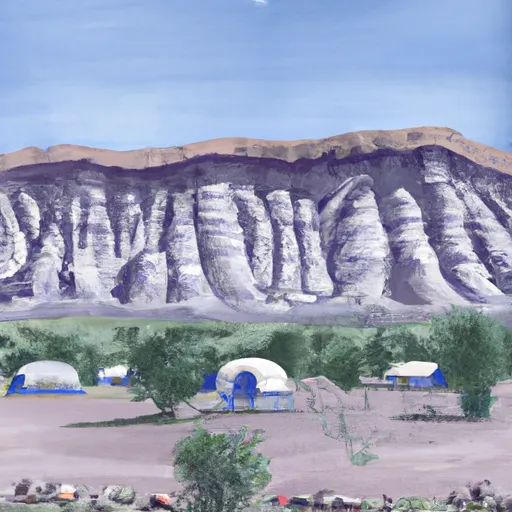
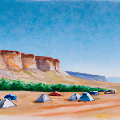
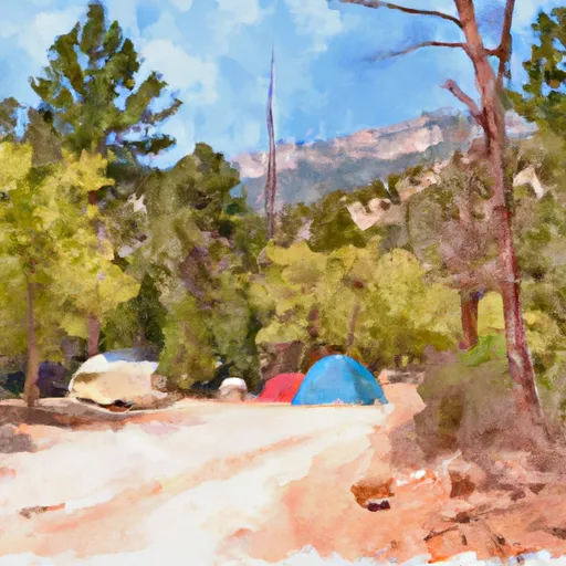
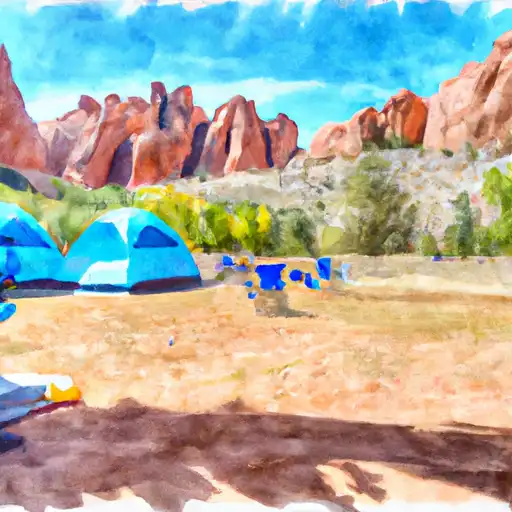
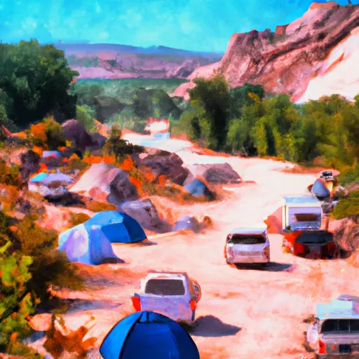
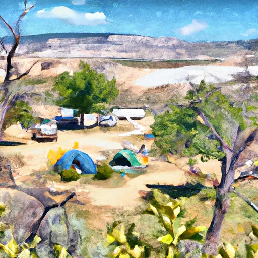
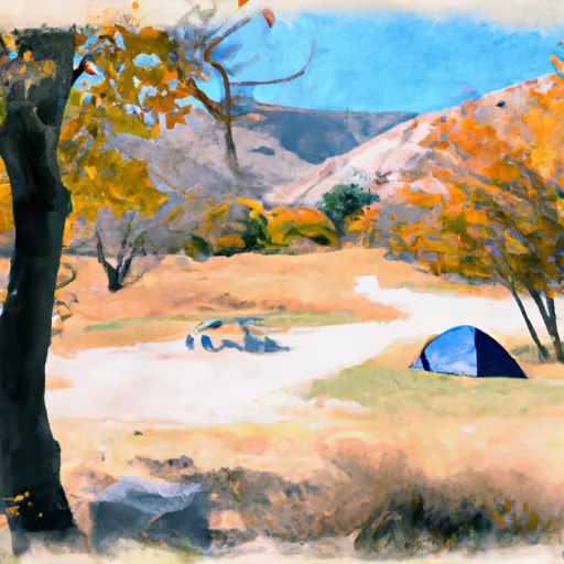
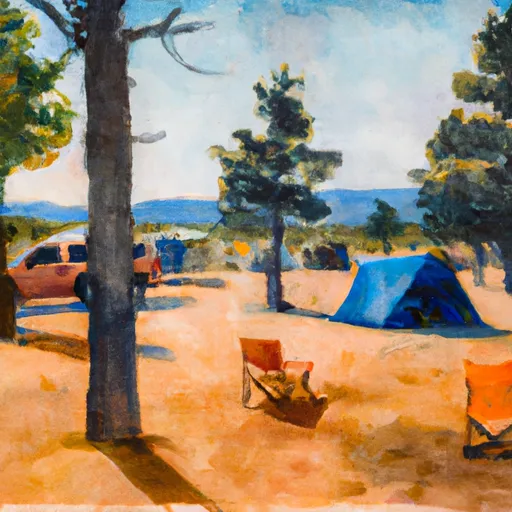
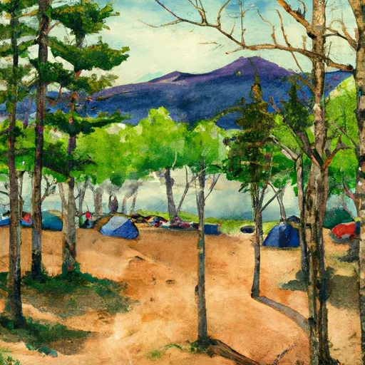
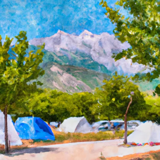
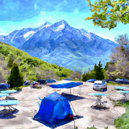
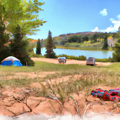
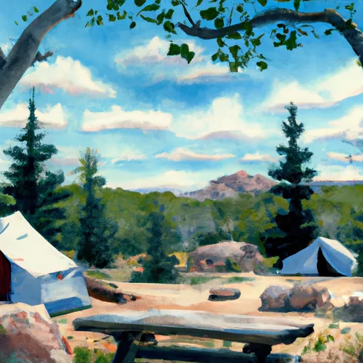
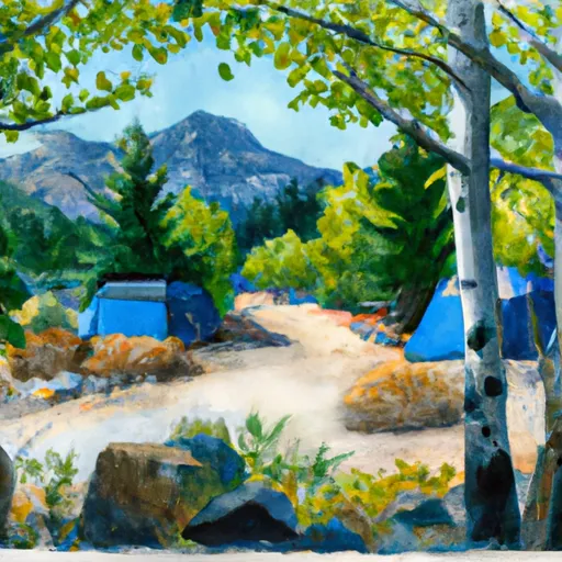
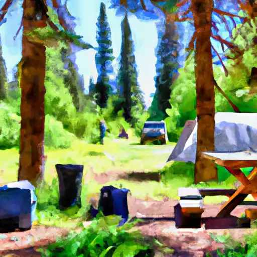
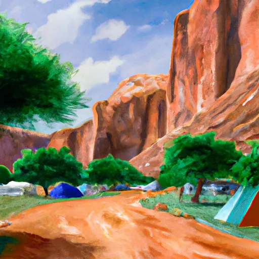
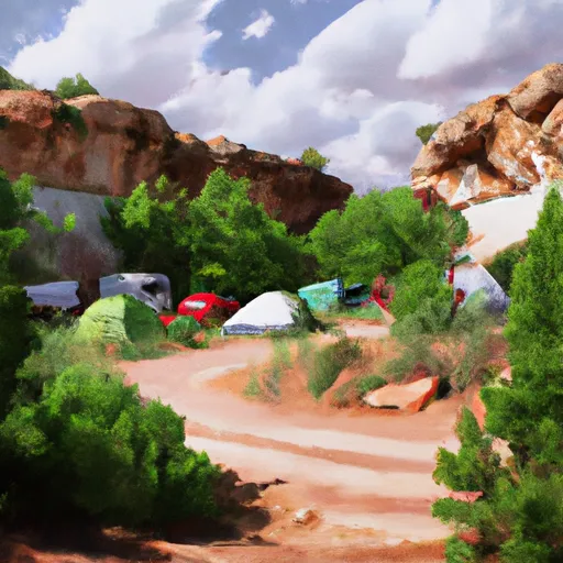
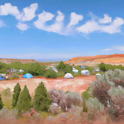
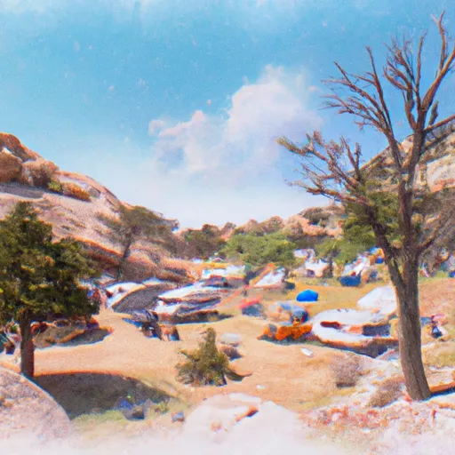
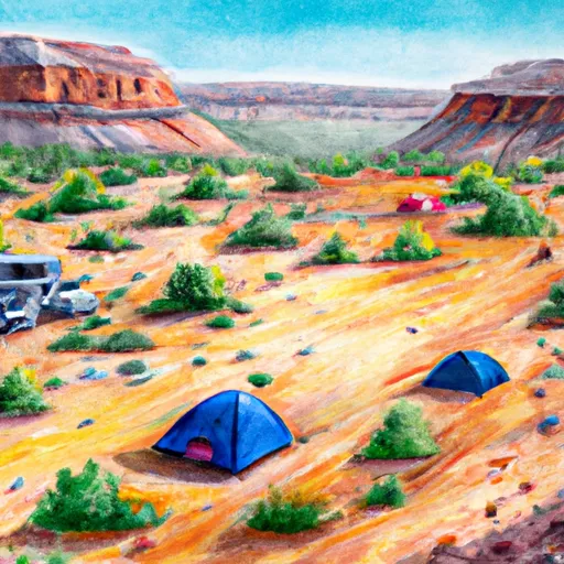
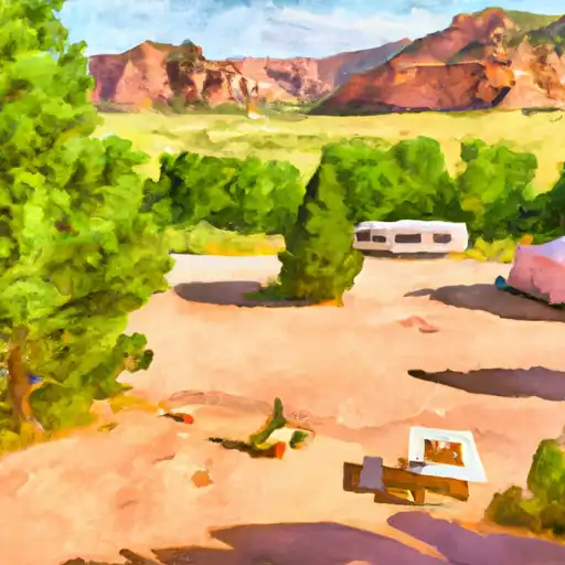
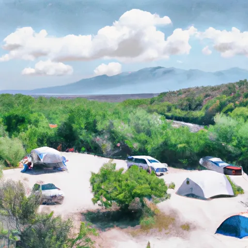
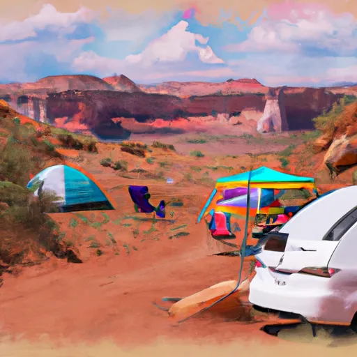
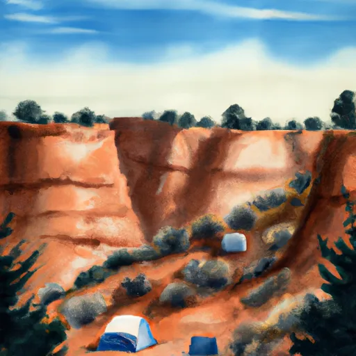
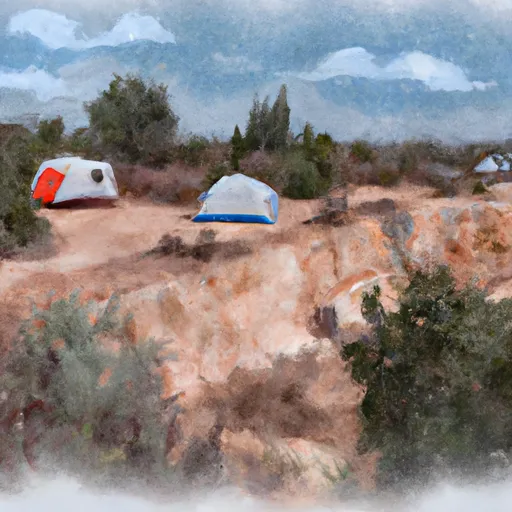
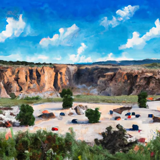
Camping in Uinta National Forest
Campgrounds inside the park, with today's conditions score.


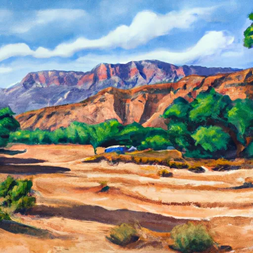


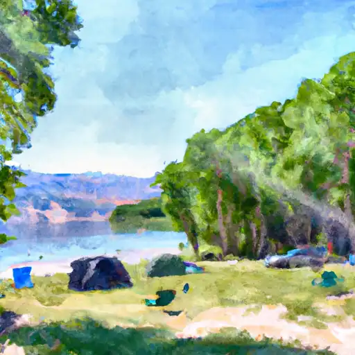
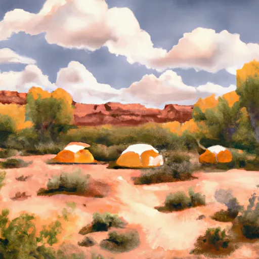


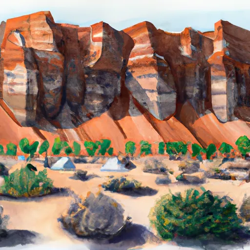


Points of interest in Uinta National Forest
Landmarks and points of interest inside the park boundary.


Plan your visit down to the hour
Same weather feed Snoflo's iOS app uses -- updated continuously from NOAA / yr.no.
Next 5 days, hour by hour
Temperature line with weather symbols on top, snow + rain accumulation as columns, humidity as a dotted line.
5-day forecast table
Every 3 hours, broken out across temperature, snow, rain, humidity, and wind.
| Time | Condition | Temp (°F) | Snow (in) | Rain (in) | Humidity (%) | Wind (mps) | Wind dir |
|---|---|---|---|---|---|---|---|
| Loading detailed forecast… | |||||||
15-day temperature & precipitation
Daily temperatures, snow, and rain projected over the next two weeks.
Responsible recreation & Leave No Trace
- Know before you go
- Check the operator's site for hours, permit requirements, seasonal closures, and fire restrictions before heading out.
- Stay on trail
- Stick to marked paths to protect vegetation, prevent erosion, and avoid disturbing wildlife habitat.
- Respect wildlife
- Observe from a distance, never feed wildlife, and store food securely if camping is permitted on-site.
- Pack it in, pack it out
- Carry out all trash, food scraps, and gear. Many parks have limited or no trash service.
- Leave what you find
- Don't take rocks, plants, or artifacts. They make the park what it is for the next visitor.
Set push alerts in the Snoflo app
Save Uinta National Forest as a favorite, set a custom threshold (precipitation, freezing temperatures, fire-restriction days), and the iOS app will push the moment conditions cross.
About Uinta National Forest
What can I do at Uinta National Forest?
Most Snoflo-tracked parks support hiking, picnicking, and wildlife viewing. Check the operator's site for activity-specific rules (camping, fishing, paddling, hunting).
How fresh is the weather data?
The hourly forecast updates throughout the day from NOAA / yr.no. Streamflow comes live from USGS streamgauges.
When is the best time to visit?
Use the 15-day temperature & precipitation outlook on this page to plan -- pick a window with comfortable temperatures and low precipitation.
How do I get to Uinta National Forest?
Tap Directions in the hero above to open driving directions in Google Maps, or Open in map to center the Snoflo interactive map on the park.
Can I get alerts when conditions change?
Yes -- alerts are managed in the Snoflo iOS app. Favorite this park, set a threshold (temperature, precipitation), and you'll get a push the moment it crosses.
Park & land designation reference
A quick legend for the federal and state land categories Snoflo tracks. Each designation comes with different rules around access, recreation, and resource extraction.
- National Park
- Large protected natural areas managed by the federal government to preserve significant landscapes, ecosystems, and cultural resources; recreation is allowed but conservation is the priority.
- State Park
- Public natural or recreational areas managed by a state government, typically smaller than national parks and focused on regional natural features, recreation, and education.
- Local Park
- Community-level parks managed by cities or counties, emphasizing recreation, playgrounds, sports, and green space close to populated areas.
- Wilderness Area
- The highest level of land protection in the U.S.; designated areas where nature is left essentially untouched, with no roads, structures, or motorized motorized access permitted.
- National Recreation Area
- Areas set aside primarily for outdoor recreation (boating, hiking, fishing, often around reservoirs, rivers, or scenic landscapes); may allow more development.
- National Conservation Area (BLM)
- BLM-managed areas with special ecological, cultural, or scientific value; more protection than typical BLM land but less strict than Wilderness Areas.
- State Forest
- State-managed forests focused on habitat, watershed, recreation, and sustainable timber harvest.
- Bureau of Land Management (BLM) Land
- Vast federal lands managed for mixed use -- recreation, grazing, mining, conservation -- with fewer restrictions than national parks or forests.