Summary
Rising to an impressive 8,511 feet, Road Summit offers visitors breathtaking panoramic views of the surrounding Sierra Nevada mountains.
One of the main reasons to visit Road Summit is to take in the stunning scenery. From this vantage point, visitors can see the rugged peaks of the High Sierra, including Mount Dana, the second-highest peak in Yosemite. On clear days, you may even catch a glimpse of Mono Lake in the distance.
In addition to the views, Road Summit is also a great starting point for hiking and exploring the Tioga Road. The surrounding area features a range of trails, from short walks to more challenging hikes, and there are plenty of opportunities for wildlife viewing and photography.
One unique thing to see at Road Summit is the high-altitude meadow known as Dana Meadows. This expansive meadow is home to a variety of flora and fauna, including wildflowers, marmots, and pikas. It's also a popular spot for birdwatching, with species such as the white-tailed ptarmigan and the Clark's nutcracker commonly spotted in the area.
Whether you're a seasoned hiker or simply looking for a stunning view, Road Summit is a must-see destination in Yosemite National Park. So come and discover the beauty of this high-altitude wonderland for yourself!

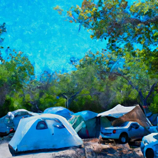 Southwest Campground
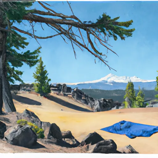 Southwest - Lassen Volcanic National Park
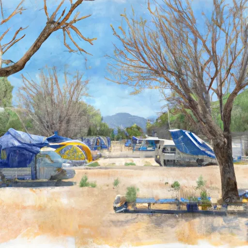 Southwest Walk-in Campground
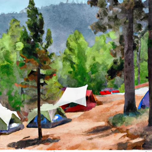 Summit Lake South Campground
 Summit Lake South
 Summit Lake North Campground