Colorado Points of Interest

Garfield Creek River Access


The Garfield Creek River Access is a popular destination for anglers and outdoor enthusiasts in the Colorado headwaters-Plateau watershed. The river access point provides access to the Colorado River, which is known for its excellent fishing opportunities and scenic beauty. Visitors can also enjoy hiking and camping in the surrounding area. The Garfield Creek River Access is easily accessible from the nearby town of New Castle and is a great spot for a day trip or weekend getaway.

One of the unique features of the Garfield Creek River Access is the opportunity to see a wide variety of wildlife, including elk, deer, and bald eagles. The area is also home to several species of fish, including brown and rainbow trout. Visitors can fish from the shore or take a guided float trip down the river. The surrounding landscape is characterized by rugged mountains and canyons, providing a stunning backdrop for outdoor activities. Overall, the Garfield Creek River Access is a must-visit destination for anyone looking to experience the natural beauty of Colorado. Get driving directions.
GARFIELD CREEK RIVER ACCESS

Points of Interest
Location
34 & C Road Shooting Range
Alcove Nature Trail Wayside Exhibit
Artist Point Overlook
Artists Point Overlook Wayside Exhibit
Balanced Rock Wayside Exhibit
Coke Ovens Overlook
Coke Ovens Overlook Wayside Exhibit
Cold Shivers Point Overlook
Cold Shivers Point Wayside Exhibit
Devils Kitchen Picnic Area Wayside Exhibit
Distant View Wayside Exhibit
East Entrance Information Map
East Entrance Overlook
Fallen Rock Overlook
Fallen Rock Overlook Wayside Exhibit
Fruita Canyon Overlook
Fruita Canyon View Wayside Exhibit
Garfield Creek River Access
Grand View Overlook
Grand View Overlook Wayside Exhibit
Half Tunnel Exhibit Wayside Exhibit
Highland View Overlook
Highland View Wayside Exhibit
Historic Trails Overlook
Historic Trails Wayside Exhibit
Independence Monument Overlook Wayside Exhibit
Independence Overlook
Lower Black Ridge Trailhead Wayside Exhibit
Lower Monument Trailhead Wayside Exhibit
Lower No Thoroughfare Canyon Trailhead Wayside Exhibit
Lower Ute Canyon Overlook
Monument Canyon Overlook
Monument Canyon Overlook Wayside Exhibit
Monument Canyon View Overlook
Otto's Trailhead Wayside Exhibit
Red Canyon Wayside Exhibit
Redland View Wayside Exhibit
Redlands Overlook
Shooting Range - Pistol
Shooting Range - Rifle
Training Track
Upper Black Ridge Trailhead Wayside Exhibit
Upper Liberty Cap Trailhead Wayside Exhibit
Upper Monument Canyon Trailhead Wayside Exhibit
Upper No Thoroughfare Canyon Trailhead Wayside Exhibit
Upper Serpents Trailhead Wayside Exhibit
Upper Ute Canyon Overlook
Upper Ute Canyon View Wayside Exhibit
Ute Canyon Wayside Exhibit
West Entrance Information Map Wayside Exhibit
White Rocks Trainhead Wayside Exhibit
Wildwood Trailhead Wayside Exhibit

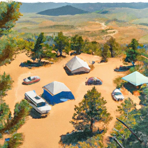
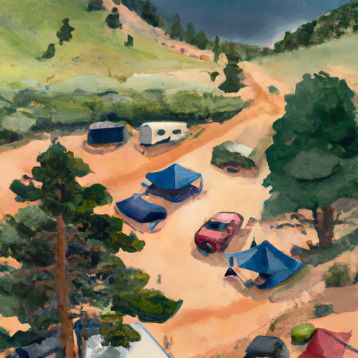
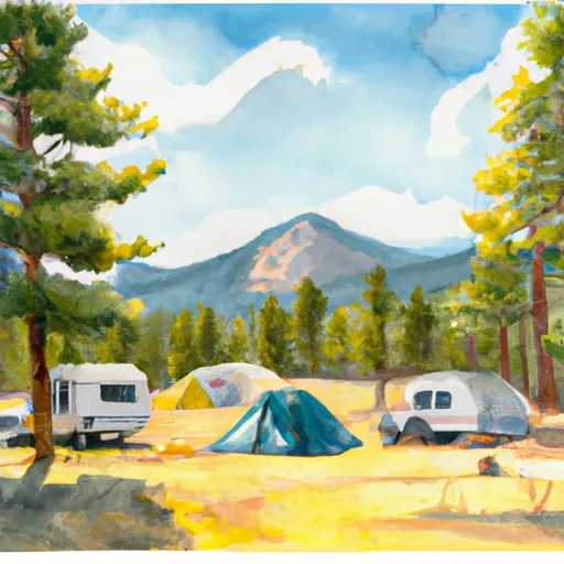
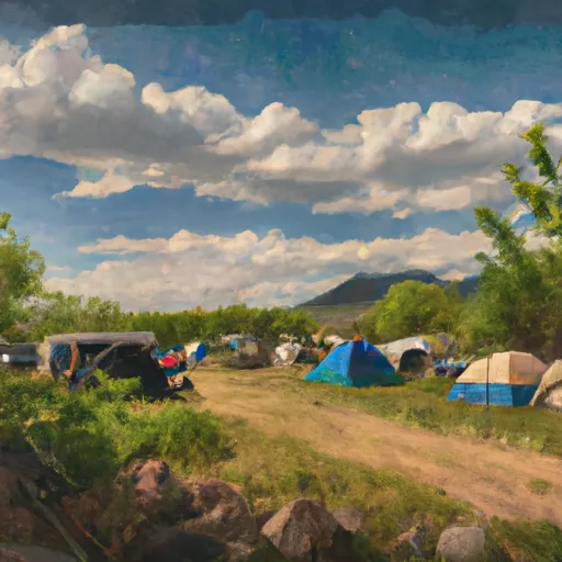
Nearby Camping
Location Campsites Reservations Toilets Showers Elevation
Rifle Falls State Park 18 6,527 ft
Meadow Lake 10 9,574 ft
Rifle Mountain County Park 30 7,175 ft
Three Forks 4 7,599 ft