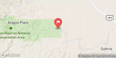
Streamflow discharge was last observed at 19 cfs, and a gauge height of 2.12 feet.
With the
% decrease since yesterday,
the streamflow average over the past 10 days is 18 .
Weather today, Tomorrow,
The river is mainly fed by snowmelt from the surrounding mountains and monsoon rains. The San Francisco and Blue rivers are the main tributaries. There are several dams on the river, including Coolidge, San Carlos, and Theodore Roosevelt, which provide water for irrigation and hydroelectric power. The flow is typically highest in the spring and early summer due to snowmelt and monsoon rains, while the fall and winter months have lower flows. Interesting fact: the Gila River is home to the endangered Gila topminnow, a small fish that has adapted to survive in the river's warm, shallow waters.
| Elevation | 3,354.0 ft |
| Last Updated | |
| Gage height, ft | 2.12 ft |
| Streamflow, ft³/s | 18.6 ft3/s |
| Percent of Normal | 239% |
| Year Over Year Average | 30 cfs |
| 24hr Flow Prediction | cfs |
| Maximum Recorded | 14,600 cfs |