

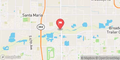
Salt River At 51st Avenue, Phoenix, Az. Realtime Data
SALT RIVER AT 51ST AVENUE, PHOENIX, AZ.
Realtime Data • Report • Conditions
Discharge (cfs)
Gauge Height (ft)
Streamflow discharge was last observed at 0 cfs, and a gauge height of feet.
With the
% decrease since yesterday,
the streamflow average over the past 10 days is 0 .
Weather today, Tomorrow,
The Salt River is fed by several tributaries, including the Verde River and the White River, and is also affected by several dams, including the Theodore Roosevelt Dam and the Stewart Mountain Dam. The flow of the river is highly seasonal, with peak flows occurring during the spring and summer months due to snowmelt and monsoon rains. Interesting hydrological facts about the Salt River include its role in providing water for irrigation and drinking water for the Phoenix metropolitan area, as well as its importance for recreation and wildlife habitat.
July 18, 2026
| Elevation | 1,000.0 ft |
| Last Updated | |
| Gauge Height | ft |
| Observed Discharge | cfs |
| Percent of Normal | % |
| Year Over Year Average | cfs |
| 24hr Flow Prediction | cfs |
| Maximum Recorded | cfs |
 Continue with Snoflo Premium