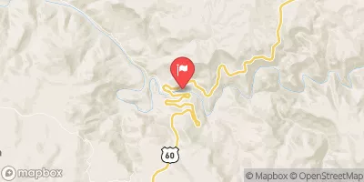
Streamflow discharge was last observed at 153 cfs, and a gauge height of 1.66 feet.
With the
% decrease since yesterday,
the streamflow average over the past 10 days is 142 .
Weather today, Tomorrow,
The river has numerous tributaries, including the Verde River and the Tonto Creek, and is regulated by a system of dams and reservoirs, including the Theodore Roosevelt Dam. The river experiences significant seasonal fluctuations, with high flows in the spring due to snowmelt and lower flows in the summer and fall. Interestingly, the Salt River was once used for irrigation and now provides water for the Phoenix metropolitan area. Additionally, the river is popular for recreational activities such as tubing and kayaking.
| Elevation | 3,372.0 ft |
| Last Updated | |
| Gage height, ft | 1.66 ft |
| Streamflow, ft³/s | 153.0 ft3/s |
| Percent of Normal | 80% |
| Year Over Year Average | 192 cfs |
| 24hr Flow Prediction | cfs |
| Maximum Recorded | 34,700 cfs |