

Salt River Near Roosevelt, Az. Realtime Data
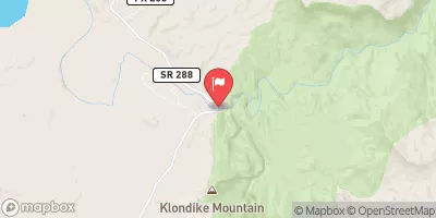
SALT RIVER NEAR ROOSEVELT, AZ.
Realtime Data • Report • Conditions
1,550
Discharge (cfs)
9.0
Gauge Height (ft)
Streamflow discharge was last observed at 1,550 cfs, and a gauge height of 8.96 feet.
With the
% decrease since yesterday,
the streamflow average over the past 10 days is 611 .
Weather today, Tomorrow,
The tributaries that contribute to the river's flow include the Tonto Creek, the Verde River, and the Agua Fria River. The Roosevelt Dam is also located on this river, providing hydroelectric power and water storage. The seasonal trends show a significant increase in flow during monsoon season from July to September. Interestingly, the Salt River was named by explorers due to the salty taste of its water, which is caused by high mineral content. The hydrology of the Salt River provides a fascinating look into the important role that water plays in the arid landscape of Arizona.
October 23, 2026
| Elevation | 2,185.0 ft |
| Last Updated | |
| Gage height, ft | 8.96 ft |
| Precipitation, total, in | 0.0 in |
| Streamflow, ft³/s | 1550.0 ft3/s |
| Percent of Normal | 870% |
| Year Over Year Average | 178 cfs |
| 24hr Flow Prediction | cfs |
| Maximum Recorded | 27,200 cfs |
 Continue with Snoflo Premium