

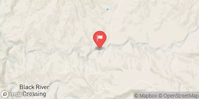
White River Near Fort Apache, Az. Realtime Data
WHITE RIVER NEAR FORT APACHE, AZ.
Realtime Data • Report • Conditions
246
Discharge (cfs)
3.1
Gauge Height (ft)
USGS 09494000
Streamflow discharge was last observed at 246 cfs, and a gauge height of 3.11 feet.
With the
% decrease since yesterday,
the streamflow average over the past 10 days is 204 .
Weather today, Tomorrow,
The river is primarily fed by snowmelt and summer monsoons, with potential tributaries including Black River and Salt River. The flow of the river varies greatly by season, with peak flows in the spring and summer and low flows in the winter. There are no dams on the White River near Fort Apache. Interestingly, the water in this area is known for its high mineral content, which can cause mineral deposits to form on rocks and create unique geological formations.
October 16, 2026
| Elevation | 4,373.0 ft |
| Last Updated | |
| Gage height, ft | 3.11 ft |
| Streamflow, ft³/s | 246.0 ft3/s |
| Precipitation, total, in | 0.0 in |
| Percent of Normal | 630% |
| Year Over Year Average | 39 cfs |
| 24hr Flow Prediction | cfs |
| Maximum Recorded | 4,600 cfs |
 Continue with Snoflo Premium