

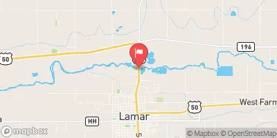
Arkansas River At Lamar, Co. Realtime Data
ARKANSAS RIVER AT LAMAR, CO.
Realtime Data • Report • Conditions
43
Discharge (cfs)
5.8
Gauge Height (ft)
Streamflow discharge was last observed at 43 cfs, and a gauge height of 5.83 feet.
With the
% decrease since yesterday,
the streamflow average over the past 10 days is 33 .
Weather today, Tomorrow,
The river is regulated by several dams, including the John Martin Reservoir Dam upstream, which can affect the flow rate. Seasonally, the river experiences higher flows during spring and early summer due to snowmelt runoff. The river also provides irrigation for agriculture in the area. Interestingly, the Arkansas River was named by early French explorers who thought the native Quapaw tribe they encountered were Arkansawyers. Overall, the Arkansas River at Lamar, CO streamgauge provides important data for monitoring water resources and managing usage in the region.
October 23, 2026
| Elevation | 3,601.0 ft |
| Last Updated | |
| Gage height, ft | 5.83 ft |
| Streamflow, ft³/s | 43.4 ft3/s |
| Stream water level elevation above NAVD 1988, in ft | 3605.88 ft |
| Percent of Normal | 278% |
| Year Over Year Average | 16 cfs |
| 24hr Flow Prediction | cfs |
| Maximum Recorded | 2,070 cfs |
 Continue with Snoflo Premium